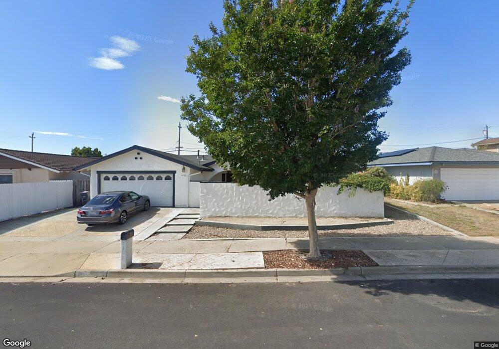
4180 Polaris Ave Lompoc, CA 93436
Estimated Value: $602,000 - $662,000
4
Beds
2
Baths
1,836
Sq Ft
$345/Sq Ft
Est. Value
About This Home
This home is located at 4180 Polaris Ave, Lompoc, CA 93436 and is currently estimated at $633,168, approximately $344 per square foot. 4180 Polaris Ave is a home located in Santa Barbara County with nearby schools including Buena Vista Elementary School, Cabrillo High School, and Olive Grove Charter - Lompoc.
Ownership History
Date
Name
Owned For
Owner Type
Purchase Details
Closed on
Jan 11, 2013
Sold by
Redd William E and Redd Joyce M
Bought by
Redd William E and Redd Joyce M
Current Estimated Value
Home Financials for this Owner
Home Financials are based on the most recent Mortgage that was taken out on this home.
Original Mortgage
$135,000
Interest Rate
3.31%
Mortgage Type
New Conventional
Purchase Details
Closed on
Jan 18, 2007
Sold by
Redd William E and Redd Joyce M
Bought by
Redd William E and Redd Joyce M
Create a Home Valuation Report for This Property
The Home Valuation Report is an in-depth analysis detailing your home's value as well as a comparison with similar homes in the area
Home Values in the Area
Average Home Value in this Area
Purchase History
| Date | Buyer | Sale Price | Title Company |
|---|---|---|---|
| Redd William E | -- | Accommodation | |
| Redd | -- | Fidelity National Title Co | |
| Redd William E | -- | None Available |
Source: Public Records
Mortgage History
| Date | Status | Borrower | Loan Amount |
|---|---|---|---|
| Closed | Redd | $135,000 |
Source: Public Records
Tax History Compared to Growth
Tax History
| Year | Tax Paid | Tax Assessment Tax Assessment Total Assessment is a certain percentage of the fair market value that is determined by local assessors to be the total taxable value of land and additions on the property. | Land | Improvement |
|---|---|---|---|---|
| 2025 | $3,172 | $267,227 | $93,212 | $174,015 |
| 2023 | $3,172 | $256,852 | $89,594 | $167,258 |
| 2022 | $3,122 | $251,817 | $87,838 | $163,979 |
| 2021 | $3,153 | $246,880 | $86,116 | $160,764 |
| 2020 | $3,122 | $244,349 | $85,233 | $159,116 |
| 2019 | $3,076 | $239,559 | $83,562 | $155,997 |
| 2018 | $3,033 | $234,863 | $81,924 | $152,939 |
| 2017 | $2,893 | $230,259 | $80,318 | $149,941 |
| 2016 | $2,573 | $225,745 | $78,744 | $147,001 |
| 2014 | $2,516 | $218,000 | $76,043 | $141,957 |
Source: Public Records
Map
Nearby Homes
- 252 Pegasus Ave
- 4139 Constellation Rd Unit 2
- 4108 Constellation Rd
- 129 Hercules Ave
- 113 Gemini Ave
- 4490 Sirius Ave
- 3951 Mesa Circle Dr
- 4021 Muirfield Place
- 52 Stanford Cir
- 3939 Saturn Ave
- 210 Oak Hill Dr
- 240 Oak Hill Dr
- 0 Oak Hill Dr Unit 24-783
- 298 Saint Andrews Way
- 4464 Greenbrier Rd
- 384 Falcon Crest Dr
- 445 Firestone Way
- 561 Andromeda Dr
- 579 Saint Andrews Way
- 3725 Jupiter Ave