4188 Osborne Rd Hurlock, MD 21643
Estimated Value: $309,282 - $374,000
--
Bed
2
Baths
1,392
Sq Ft
$241/Sq Ft
Est. Value
About This Home
This home is located at 4188 Osborne Rd, Hurlock, MD 21643 and is currently estimated at $335,321, approximately $240 per square foot. 4188 Osborne Rd is a home located in Dorchester County with nearby schools including Warwick Elementary School, North Dorchester Middle School, and North Dorchester High School.
Ownership History
Date
Name
Owned For
Owner Type
Purchase Details
Closed on
Feb 27, 2004
Sold by
Dennard Lysander C
Bought by
Meekins Dirk M Blake and Meekins Jennifer K
Current Estimated Value
Purchase Details
Closed on
Oct 4, 1996
Sold by
Bay Area Homes
Bought by
Dennard Lysander C
Create a Home Valuation Report for This Property
The Home Valuation Report is an in-depth analysis detailing your home's value as well as a comparison with similar homes in the area
Home Values in the Area
Average Home Value in this Area
Purchase History
| Date | Buyer | Sale Price | Title Company |
|---|---|---|---|
| Meekins Dirk M Blake | $148,000 | -- | |
| Dennard Lysander C | $110,000 | -- |
Source: Public Records
Tax History Compared to Growth
Tax History
| Year | Tax Paid | Tax Assessment Tax Assessment Total Assessment is a certain percentage of the fair market value that is determined by local assessors to be the total taxable value of land and additions on the property. | Land | Improvement |
|---|---|---|---|---|
| 2025 | $2,504 | $232,033 | $0 | $0 |
| 2024 | $2,215 | $215,200 | $40,000 | $175,200 |
| 2023 | $2,215 | $206,500 | $0 | $0 |
| 2022 | $4,227 | $197,800 | $0 | $0 |
| 2021 | $1,919 | $189,100 | $35,000 | $154,100 |
| 2020 | $1,919 | $176,300 | $0 | $0 |
| 2019 | $1,825 | $163,500 | $0 | $0 |
| 2018 | $1,736 | $150,700 | $35,000 | $115,700 |
| 2017 | $1,656 | $147,000 | $0 | $0 |
| 2016 | -- | $143,300 | $0 | $0 |
| 2015 | -- | $139,600 | $0 | $0 |
| 2014 | -- | $139,600 | $0 | $0 |
Source: Public Records
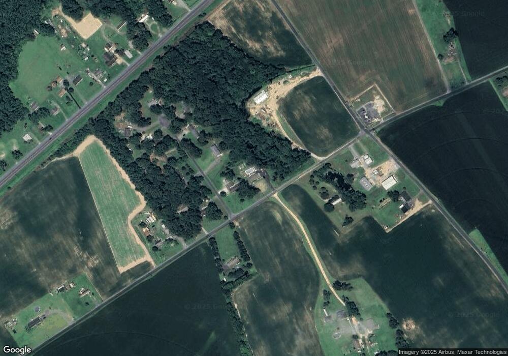
Map
Nearby Homes
- 6006 Corey Way
- 5904 Harvey St
- 311 Railroad Ave
- 5751 Thompsontown Rd
- 2 S Main St
- 0 Michaels Way Unit 2D
- 0 Michaels Way Unit BUILDING 1 UNIT C
- 0 Michaels Way Unit 2B
- 0 Michaels Way Unit 2E
- 0 Michaels Way Unit BUILDING 2 A
- 0 Michaels Way Unit 2C
- 5926 Mount Holly Rd
- 101 Thompson St
- 406 Charles St
- 312 Charles St
- 402 S Main St
- 200 Hurlock Ave
- 405 Collins Ave
- 212 S Main St
- 309 S Main St
- 4186 Osborne Rd
- 6002 Corey Way
- 4182 Osborne Rd
- 4193 Osborne Rd
- 6004 Corey Way
- 6003 Corey Way
- 4180 Osborne Rd
- 4181 Osborne Rd
- 4192 Osborne Rd
- 6005 Corey Way
- 4199 Osborne Rd
- 6007 Corey Way
- 4170 Osborne Rd
- 6008 Corey Way
- 6010 Corey Way
- 6009 Corey Way
- 4238 E New Market Hurlock Rd
- 4189 Osborne Rd
- 4236 E New Market Hurlock Rd
- 4240 E New Market Hurlock Rd