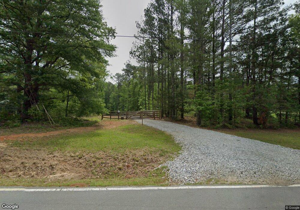
419 Bankstown Rd Brooks, GA 30205
Estimated Value: $403,000 - $533,000
--
Bed
2
Baths
1,781
Sq Ft
$264/Sq Ft
Est. Value
About This Home
This home is located at 419 Bankstown Rd, Brooks, GA 30205 and is currently estimated at $470,537, approximately $264 per square foot. 419 Bankstown Rd is a home located in Fayette County with nearby schools including Peeples Elementary School, Whitewater Middle School, and Whitewater High School.
Ownership History
Date
Name
Owned For
Owner Type
Purchase Details
Closed on
Jan 11, 2019
Sold by
Walls Leigh Ellen
Bought by
Turner Daniel E and Turner Kathy T
Current Estimated Value
Purchase Details
Closed on
Sep 14, 2017
Sold by
Mask Thomas Jason
Bought by
Johnston Homes Llc
Purchase Details
Closed on
Jan 13, 2017
Sold by
Breed Barbara Turner
Bought by
Mask Thomas Jason
Purchase Details
Closed on
Mar 15, 2004
Sold by
Turner Matthew and Turner Sandra
Bought by
Breed Barbara T and Breed Emory
Purchase Details
Closed on
Mar 12, 2001
Sold by
Turner Ernest E
Bought by
Turner Ernest E and Turner Margaret G
Create a Home Valuation Report for This Property
The Home Valuation Report is an in-depth analysis detailing your home's value as well as a comparison with similar homes in the area
Home Values in the Area
Average Home Value in this Area
Purchase History
| Date | Buyer | Sale Price | Title Company |
|---|---|---|---|
| Turner Daniel E | -- | -- | |
| Walls Guy | -- | -- | |
| Breed Emory M | -- | -- | |
| Turner Matthew E | -- | -- | |
| Johnston Homes Llc | $107,500 | -- | |
| Mask Thomas Jason | $223,450 | -- | |
| Mask Thomas Jason | $223,450 | -- | |
| Breed Barbara T | -- | -- | |
| Turner Ernest E | -- | -- |
Source: Public Records
Tax History Compared to Growth
Tax History
| Year | Tax Paid | Tax Assessment Tax Assessment Total Assessment is a certain percentage of the fair market value that is determined by local assessors to be the total taxable value of land and additions on the property. | Land | Improvement |
|---|---|---|---|---|
| 2024 | $3,184 | $157,264 | $61,112 | $96,152 |
| 2023 | $3,184 | $145,348 | $53,708 | $91,640 |
| 2022 | $2,953 | $135,948 | $48,148 | $87,800 |
| 2021 | $2,674 | $122,244 | $44,444 | $77,800 |
| 2020 | $2,357 | $107,816 | $39,216 | $68,600 |
| 2019 | $5,688 | $198,532 | $132,972 | $65,560 |
| 2018 | $629 | $82,344 | $114,836 | $60,840 |
| 2017 | $1,095 | $160,956 | $108,796 | $52,160 |
| 2016 | $531 | $66,375 | $108,796 | $46,040 |
| 2015 | $505 | $61,604 | $108,796 | $41,600 |
| 2014 | $479 | $56,123 | $108,796 | $36,440 |
| 2013 | -- | $45,997 | $0 | $0 |
Source: Public Records
Map
Nearby Homes
- 0 Morgan Mill Rd Unit LOT 7 10597544
- 0 Morgan Mill Rd Unit LOT 5 10432804
- 460 Morgan Mill Rd
- 604 Morgan Mill Rd
- 1481 Highway 85 Connector
- 165 Grace Hope Dr
- 0 Padgett Rd Unit 10612849
- 0 Padgett Rd Unit LOT 9 10432801
- 0 Padgett Rd Unit LOT 8 10432798
- 0 Price Rd Unit LOT 2
- 0 Price Rd Unit LOT 1
- 360 Morgan Mill Rd
- 291 Morgan Mill Rd
- 190 Gable Rd
- 0 Mask and Lynch Rd Unit 10611467
- 9902 Highway 16
- 423 Mask Rd
- 786 Highway 85 Connector
- 130 Brooklet Way
- 50 Daisy Harris Rd
- 419 Bankstown Rd Unit 2
- 433 Bankstown Rd
- 413 Bankstown Rd
- 434 Bankstown Rd
- 410 Bankstown Rd
- 430 Bankstown Rd Unit 2
- 430 Bankstown Rd
- 418 Bankstown Rd
- 457 Bankstown Rd
- 454 Bankstown Rd
- 436 Bankstown Rd
- 392 Bankstown Rd
- 386 Bankstown Rd
- 379 Bankstown Rd
- 462 Bankstown Rd
- 378 Bankstown Rd
- 483 Bankstown Rd
- 370 Bankstown Rd
- 306 Bankstown Rd
- 465 Bankstown Rd