419 Knottwood Ct Arnold, MD 21012
Estimated Value: $336,382 - $414,000
--
Bed
3
Baths
1,340
Sq Ft
$293/Sq Ft
Est. Value
About This Home
This home is located at 419 Knottwood Ct, Arnold, MD 21012 and is currently estimated at $392,096, approximately $292 per square foot. 419 Knottwood Ct is a home located in Anne Arundel County with nearby schools including Broadneck Elementary School, Magothy River Middle School, and Broadneck High School.
Ownership History
Date
Name
Owned For
Owner Type
Purchase Details
Closed on
Jun 21, 2011
Sold by
Lay Margaret Ann and Blasso Laurel Anne
Bought by
Lay Margaret Ann
Current Estimated Value
Purchase Details
Closed on
Sep 16, 1994
Sold by
Kimberly Woods Associates
Bought by
Lay Margaret A
Home Financials for this Owner
Home Financials are based on the most recent Mortgage that was taken out on this home.
Original Mortgage
$50,000
Interest Rate
8.38%
Create a Home Valuation Report for This Property
The Home Valuation Report is an in-depth analysis detailing your home's value as well as a comparison with similar homes in the area
Home Values in the Area
Average Home Value in this Area
Purchase History
| Date | Buyer | Sale Price | Title Company |
|---|---|---|---|
| Lay Margaret Ann | -- | None Available | |
| Lay Margaret A | $103,490 | -- |
Source: Public Records
Mortgage History
| Date | Status | Borrower | Loan Amount |
|---|---|---|---|
| Closed | Lay Margaret A | $50,000 |
Source: Public Records
Tax History Compared to Growth
Tax History
| Year | Tax Paid | Tax Assessment Tax Assessment Total Assessment is a certain percentage of the fair market value that is determined by local assessors to be the total taxable value of land and additions on the property. | Land | Improvement |
|---|---|---|---|---|
| 2025 | $2,169 | $259,633 | -- | -- |
| 2024 | $2,169 | $237,300 | $115,000 | $122,300 |
| 2023 | $2,108 | $235,467 | $0 | $0 |
| 2022 | $2,441 | $233,633 | $0 | $0 |
| 2021 | $1,000 | $231,800 | $115,000 | $116,800 |
| 2020 | $1,865 | $222,867 | $0 | $0 |
| 2019 | $3,663 | $213,933 | $0 | $0 |
| 2018 | $2,079 | $205,000 | $90,000 | $115,000 |
| 2017 | $1,722 | $205,000 | $0 | $0 |
| 2016 | -- | $205,000 | $0 | $0 |
| 2015 | -- | $216,600 | $0 | $0 |
| 2014 | -- | $211,833 | $0 | $0 |
Source: Public Records
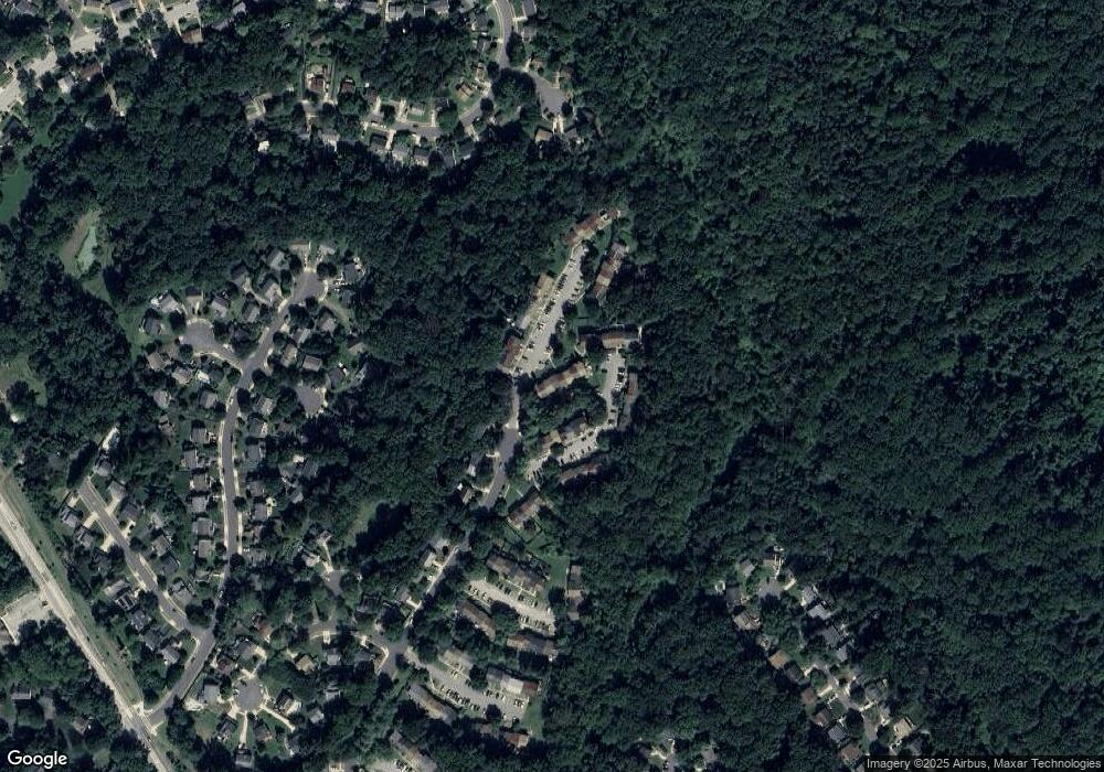
Map
Nearby Homes
- 516 Norton Ln
- 1215 Driftwood Ct
- 303 Ternwing Dr
- 1217 Springwood Ct
- 1256 Crowell Ct
- 507 Greenblades Ct
- 1078 Brightleaf Ct
- 923 Whitstable Blvd
- 1182 Palmwood Ct
- 1180 Mosswood Ct
- 400 Colonial Ridge Ln
- 1205 Farley Ct N
- 515 Bay Hills Dr
- 493 Colonial Ridge Ln
- 33 Sheridan Rd
- 349 Candle Ridge Ct
- 478 Bay Green Dr
- 618 Andrew Hill Rd
- 404 Alameda Pkwy
- 633 Andrew Hill Rd
- 417 Knottwood Ct
- 423 Knottwood Ct
- 415 Knottwood Ct
- 425 Knottwood Ct
- 427 Knottwood Ct
- 1233 Birchcrest Ct
- 1235 Birchcrest Ct
- 1231 Birchcrest Ct
- 1237 Birchcrest Ct
- 1237 Birchcrest Ct Unit 129
- 1229 Birchcrest Ct Unit 125
- 1229 Birchcrest Ct
- 1227 Birchcrest Ct
- 1225 Birchcrest Ct
- 1225 Birchcrest Ct Unit 123
- 416 Knottwood Ct
- 418 Knottwood Ct
- 420 Knottwood Ct
- 1239 Birchcrest Ct
- 422 Knottwood Ct