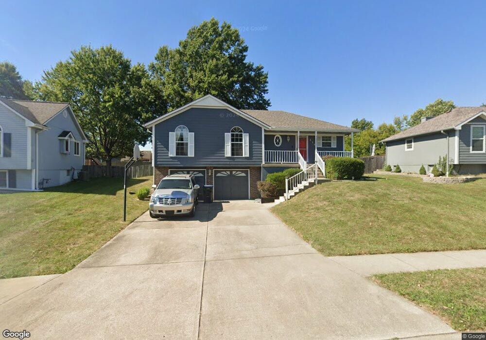
419 NE Station Dr Lees Summit, MO 64086
Estimated Value: $297,906 - $322,000
3
Beds
3
Baths
1,240
Sq Ft
$254/Sq Ft
Est. Value
About This Home
This home is located at 419 NE Station Dr, Lees Summit, MO 64086 and is currently estimated at $314,727, approximately $253 per square foot. 419 NE Station Dr is a home located in Jackson County with nearby schools including Meadow Lane Elementary School, Bernard C. Campbell Middle School, and Lee's Summit North High School.
Ownership History
Date
Name
Owned For
Owner Type
Purchase Details
Closed on
Oct 23, 2002
Sold by
Bix Christopher T and Bix Jennifer S
Bought by
Mcfield Robert Lee
Current Estimated Value
Home Financials for this Owner
Home Financials are based on the most recent Mortgage that was taken out on this home.
Original Mortgage
$120,000
Interest Rate
5.57%
Mortgage Type
Purchase Money Mortgage
Purchase Details
Closed on
Apr 19, 2001
Sold by
Fate Bruce D and Fate Kristina J
Bought by
Bix Christopher T and Hart Jennifer S
Home Financials for this Owner
Home Financials are based on the most recent Mortgage that was taken out on this home.
Original Mortgage
$129,000
Interest Rate
6.75%
Mortgage Type
Purchase Money Mortgage
Create a Home Valuation Report for This Property
The Home Valuation Report is an in-depth analysis detailing your home's value as well as a comparison with similar homes in the area
Home Values in the Area
Average Home Value in this Area
Purchase History
| Date | Buyer | Sale Price | Title Company |
|---|---|---|---|
| Mcfield Robert Lee | -- | -- | |
| Bix Christopher T | -- | Old Republic Title Company |
Source: Public Records
Mortgage History
| Date | Status | Borrower | Loan Amount |
|---|---|---|---|
| Closed | Mcfield Robert Lee | $120,000 | |
| Previous Owner | Bix Christopher T | $129,000 |
Source: Public Records
Tax History Compared to Growth
Tax History
| Year | Tax Paid | Tax Assessment Tax Assessment Total Assessment is a certain percentage of the fair market value that is determined by local assessors to be the total taxable value of land and additions on the property. | Land | Improvement |
|---|---|---|---|---|
| 2025 | $3,100 | $44,977 | $8,341 | $36,636 |
| 2024 | $3,077 | $42,929 | $5,768 | $37,161 |
| 2023 | $3,077 | $42,929 | $6,221 | $36,708 |
| 2022 | $2,745 | $34,010 | $4,236 | $29,774 |
| 2021 | $2,802 | $34,010 | $4,236 | $29,774 |
| 2020 | $2,577 | $30,974 | $4,236 | $26,738 |
| 2019 | $2,507 | $30,974 | $4,236 | $26,738 |
| 2018 | $2,351 | $26,957 | $3,687 | $23,270 |
| 2016 | $2,320 | $26,334 | $4,731 | $21,603 |
Source: Public Records
Map
Nearby Homes
- 510 NE Thames Dr
- 1300 NE Browning Ln
- 1020 NE Woodbury Ln
- 716 NE Thames Dr
- 12505 S Woodlawn Dr
- 809 NE Mulberry St
- 811 NE Mulberry St
- 810 NE Chestnut St
- 627 NE Swann Cir
- 809 NE Cedar St
- 1708 NE Balboa St
- 703 NE Swann Cir
- 1108 NE Ridgeview Dr
- 1138 NE Mulberry St
- 1118 NE Deerbrook Terrace
- 1505 NE Deer Ct
- 104 NE Orchard St
- 403 NE Howard Ave
- 109 NE Orchard St
- 311 NE Arlington Cir
- 417 NE Station Dr
- 421 NE Station Dr
- 415 NE Station Dr
- 423 NE Station Dr
- 416 NE Station Dr
- 418 NE Station Dr
- 414 NE Station Dr
- 1301 NE Buttonwood Ave
- 1233 NE Buttonwood Ave
- 420 NE Station Dr
- 1305 NE Buttonwood Ave
- 413 NE Station Dr
- 425 NE Station Dr
- 1229 NE Buttonwood Ave
- 1309 NE Buttonwood Ave
- 1225 NE Buttonwood Ave
- 422 NE Station Dr
- 427 NE Station Dr
- 1313 NE Buttonwood Ave
- 411 NE Station Dr