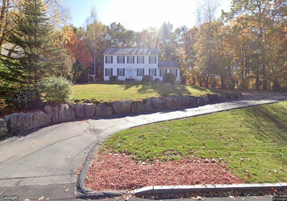
42 Autumn Run Hooksett, NH 03106
Estimated Value: $749,000 - $818,000
3
Beds
3
Baths
2,664
Sq Ft
$295/Sq Ft
Est. Value
About This Home
This home is located at 42 Autumn Run, Hooksett, NH 03106 and is currently estimated at $785,605, approximately $294 per square foot. 42 Autumn Run is a home located in Merrimack County with nearby schools including Fred C. Underhill School, Hooksett Memorial School, and David R. Cawley Middle School.
Ownership History
Date
Name
Owned For
Owner Type
Purchase Details
Closed on
Jun 2, 2009
Sold by
Hebert Walter J and Hebert Susan F
Bought by
Arcand Mark R and Arcand Linda L
Current Estimated Value
Home Financials for this Owner
Home Financials are based on the most recent Mortgage that was taken out on this home.
Original Mortgage
$210,000
Interest Rate
4.87%
Mortgage Type
Purchase Money Mortgage
Create a Home Valuation Report for This Property
The Home Valuation Report is an in-depth analysis detailing your home's value as well as a comparison with similar homes in the area
Home Values in the Area
Average Home Value in this Area
Purchase History
| Date | Buyer | Sale Price | Title Company |
|---|---|---|---|
| Arcand Mark R | $354,500 | -- |
Source: Public Records
Mortgage History
| Date | Status | Borrower | Loan Amount |
|---|---|---|---|
| Open | Arcand Mark R | $119,900 | |
| Open | Arcand Mark R | $201,000 | |
| Closed | Arcand Mark R | $210,000 | |
| Previous Owner | Arcand Mark R | $70,000 |
Source: Public Records
Tax History Compared to Growth
Tax History
| Year | Tax Paid | Tax Assessment Tax Assessment Total Assessment is a certain percentage of the fair market value that is determined by local assessors to be the total taxable value of land and additions on the property. | Land | Improvement |
|---|---|---|---|---|
| 2024 | $12,194 | $719,000 | $160,900 | $558,100 |
| 2023 | $11,490 | $719,000 | $160,900 | $558,100 |
| 2022 | $9,230 | $383,800 | $102,400 | $281,400 |
| 2021 | $8,528 | $383,800 | $102,400 | $281,400 |
| 2020 | $8,471 | $376,300 | $102,400 | $273,900 |
| 2019 | $8,109 | $376,300 | $102,400 | $273,900 |
| 2018 | $8,324 | $376,300 | $102,400 | $273,900 |
| 2017 | $8,220 | $307,400 | $100,800 | $206,600 |
| 2016 | $8,112 | $307,400 | $100,800 | $206,600 |
| 2015 | $4,724 | $307,400 | $100,800 | $206,600 |
| 2014 | $4,131 | $307,400 | $100,800 | $206,600 |
| 2013 | -- | $307,400 | $100,800 | $206,600 |
Source: Public Records
Map
Nearby Homes
- 28 Auburn Rd
- 155 Londonderry Turnpike
- 4 Forest Hills Rd
- 13 Johns Dr
- 103 Mammoth Rd
- 130 Mammoth Rd Unit 413
- 15 Johns Dr
- 18 Cindy Dr
- 45 Leonard Ave
- 286B Londonderry Turnpike Unit A
- 22 Harmony Ln
- 6 Gailor Ln
- 69 Heather Cir
- 34 Mammoth Rd Unit 1
- 27 Martins Ferry Rd
- 5 Shaker Hill Rd
- 125 Laurel Rd Unit 33
- 110 Laurel Rd Unit 31
- 7 Mulberry Ln
- 30 Laurel Rd