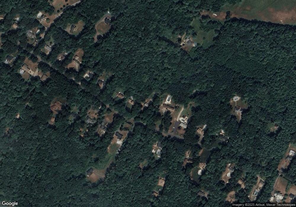
42 Baker Rd Salisbury, MA 01952
Estimated Value: $607,178 - $741,000
3
Beds
2
Baths
1,832
Sq Ft
$358/Sq Ft
Est. Value
About This Home
This home is located at 42 Baker Rd, Salisbury, MA 01952 and is currently estimated at $655,045, approximately $357 per square foot. 42 Baker Rd is a home located in Essex County with nearby schools including Triton Regional High School and River Valley Charter School.
Ownership History
Date
Name
Owned For
Owner Type
Purchase Details
Closed on
May 20, 2020
Sold by
L & S Robinson Ft
Bought by
Mcguire Christopher and Mcguire Stacey P
Current Estimated Value
Purchase Details
Closed on
Nov 1, 2013
Sold by
Robinson Lisa
Bought by
L & S Robinson Ft
Purchase Details
Closed on
Sep 21, 2007
Sold by
Bayko April D and Bayko Douglas B
Bought by
Robinson Lisa
Home Financials for this Owner
Home Financials are based on the most recent Mortgage that was taken out on this home.
Original Mortgage
$100,000
Interest Rate
6.63%
Mortgage Type
Purchase Money Mortgage
Purchase Details
Closed on
Aug 1, 1996
Sold by
J&B Rt and Stcyr Barbara L
Bought by
Witkim Robert F and Witkum Pamela J
Create a Home Valuation Report for This Property
The Home Valuation Report is an in-depth analysis detailing your home's value as well as a comparison with similar homes in the area
Home Values in the Area
Average Home Value in this Area
Purchase History
| Date | Buyer | Sale Price | Title Company |
|---|---|---|---|
| Mcguire Christopher | -- | None Available | |
| L & S Robinson Ft | -- | -- | |
| Robinson Lisa | $315,000 | -- | |
| Witkim Robert F | $210,000 | -- |
Source: Public Records
Mortgage History
| Date | Status | Borrower | Loan Amount |
|---|---|---|---|
| Previous Owner | Witkim Robert F | $100,000 | |
| Previous Owner | Witkim Robert F | $52,000 | |
| Previous Owner | Witkim Robert F | $40,000 |
Source: Public Records
Tax History Compared to Growth
Tax History
| Year | Tax Paid | Tax Assessment Tax Assessment Total Assessment is a certain percentage of the fair market value that is determined by local assessors to be the total taxable value of land and additions on the property. | Land | Improvement |
|---|---|---|---|---|
| 2025 | $4,784 | $474,600 | $193,200 | $281,400 |
| 2024 | $4,669 | $446,800 | $184,500 | $262,300 |
| 2023 | $4,542 | $420,600 | $184,500 | $236,100 |
| 2022 | $4,297 | $385,700 | $167,000 | $218,700 |
| 2021 | $4,199 | $372,900 | $167,000 | $205,900 |
| 2020 | $3,855 | $336,400 | $167,000 | $169,400 |
| 2019 | $3,820 | $322,100 | $167,100 | $155,000 |
| 2018 | $3,775 | $320,500 | $167,100 | $153,400 |
| 2017 | $3,503 | $293,900 | $152,500 | $141,400 |
| 2016 | $3,422 | $293,200 | $150,200 | $143,000 |
| 2015 | $3,355 | $285,500 | $138,700 | $146,800 |
Source: Public Records
Map
Nearby Homes