Estimated Value: $1,340,943 - $1,619,000
4
Beds
4
Baths
4,166
Sq Ft
$369/Sq Ft
Est. Value
About This Home
This home is located at 42 Brook St, Acton, MA 01720 and is currently estimated at $1,537,486, approximately $369 per square foot. 42 Brook St is a home located in Middlesex County with nearby schools including Acton-Boxborough Regional High School and Oak Meadow Montessori School.
Ownership History
Date
Name
Owned For
Owner Type
Purchase Details
Closed on
Feb 14, 2017
Sold by
Bursaw Linda S
Bought by
Linda S Bursaw Lt
Current Estimated Value
Purchase Details
Closed on
Oct 7, 2013
Sold by
Melon Francisco and Melon Linda S
Bought by
Bursaw Linda S
Purchase Details
Closed on
Apr 1, 1992
Sold by
F Melon Inc
Bought by
Melon Francisco
Create a Home Valuation Report for This Property
The Home Valuation Report is an in-depth analysis detailing your home's value as well as a comparison with similar homes in the area
Home Values in the Area
Average Home Value in this Area
Purchase History
| Date | Buyer | Sale Price | Title Company |
|---|---|---|---|
| Linda S Bursaw Lt | -- | -- | |
| Bursaw Linda S | -- | -- | |
| Melon Francisco | $330,000 | -- |
Source: Public Records
Mortgage History
| Date | Status | Borrower | Loan Amount |
|---|---|---|---|
| Previous Owner | Melon Francisco | $244,000 | |
| Previous Owner | Melon Francisco | $250,000 | |
| Previous Owner | Melon Francisco | $325,000 |
Source: Public Records
Tax History Compared to Growth
Tax History
| Year | Tax Paid | Tax Assessment Tax Assessment Total Assessment is a certain percentage of the fair market value that is determined by local assessors to be the total taxable value of land and additions on the property. | Land | Improvement |
|---|---|---|---|---|
| 2025 | $21,355 | $1,245,200 | $327,000 | $918,200 |
| 2024 | $19,792 | $1,187,300 | $327,000 | $860,300 |
| 2023 | $19,381 | $1,103,700 | $296,900 | $806,800 |
| 2022 | $18,310 | $941,400 | $259,300 | $682,100 |
| 2021 | $18,753 | $927,000 | $240,100 | $686,900 |
| 2020 | $17,653 | $917,500 | $240,100 | $677,400 |
| 2019 | $17,170 | $886,400 | $240,100 | $646,300 |
| 2018 | $16,791 | $866,400 | $240,100 | $626,300 |
| 2017 | $16,596 | $870,700 | $240,100 | $630,600 |
| 2016 | $16,151 | $839,900 | $240,100 | $599,800 |
| 2015 | $15,806 | $829,700 | $240,100 | $589,600 |
| 2014 | $14,016 | $720,600 | $240,100 | $480,500 |
Source: Public Records
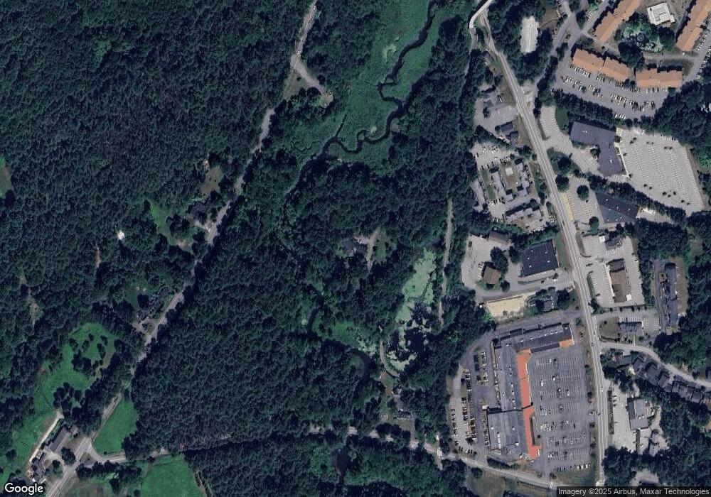
Map
Nearby Homes
- 209 Great Rd Unit C1
- 10 Blue Heron Way Unit 10
- 10 Blue Heron Way
- 16 Wampus Ave Unit 32
- 7 Blue Heron Way
- 524 Main St
- 709 Main St
- 6 Bittersweet Ln
- 386 Great Rd Unit A8
- 403 Great Rd Unit 5
- 491 Main St
- 407 Great Rd Unit 9
- 420 Great Rd Unit B3
- 134 Pope Rd
- 428 Great Rd Unit 10
- 159 Skyline Dr Unit 159
- 1 Quarry Rd
- 17 Northbriar Rd
- 23 John Swift Rd
- 484 Great Rd
- 274 Great Rd
- 594 Main St
- 282 Great Rd
- 284 Great Rd
- 40 Brook St
- 276 Great Rd
- 292 Great Rd
- 292 Great Rd Unit 1
- 254 Great Rd
- 271 Great Rd
- 289 Great Rd
- 301 Great Rd
- 303 Great Rd Unit 303
- 263 Great Rd
- 267 Great Rd
- 9 Davis Rd Unit a15,9
- 53 Brook St Unit 34
- 53 Brook St Unit 33
- 53 Brook St Unit 29
- 53 Brook St Unit 39