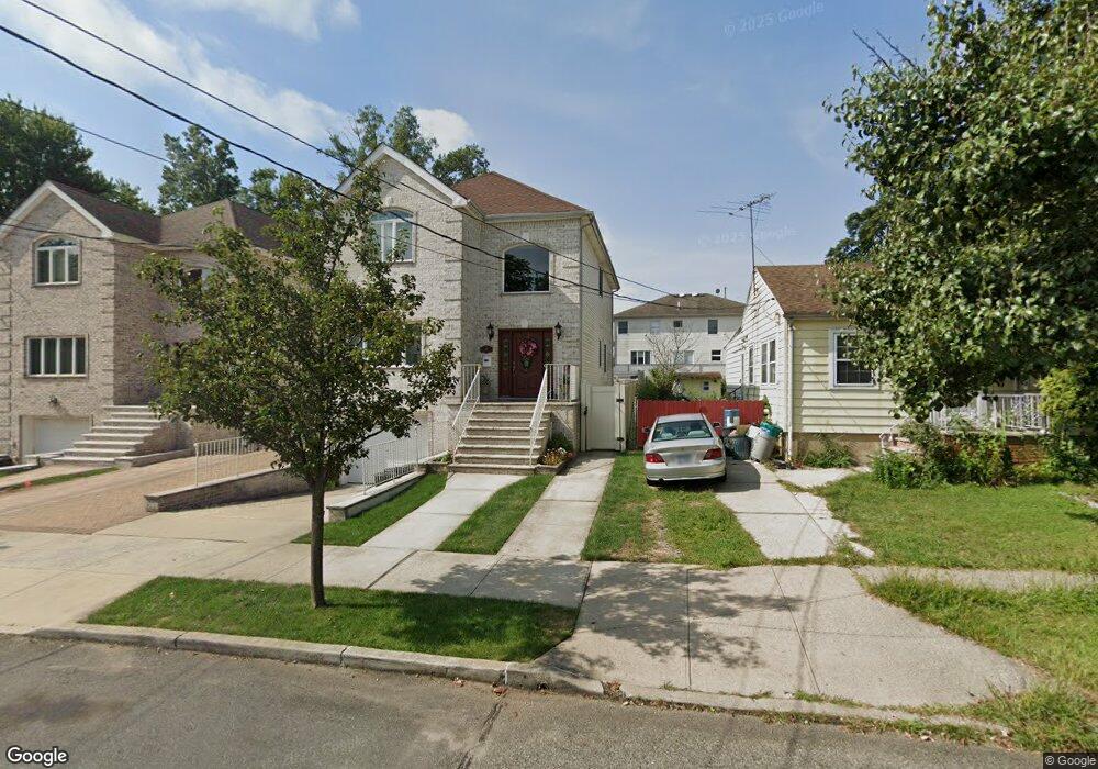
42 Colon St Unit 44 Staten Island, NY 10312
Prince's Bay NeighborhoodEstimated Value: $1,054,949 - $1,288,000
3
Beds
4
Baths
3,325
Sq Ft
$363/Sq Ft
Est. Value
About This Home
This home is located at 42 Colon St Unit 44, Staten Island, NY 10312 and is currently estimated at $1,207,237, approximately $363 per square foot. 42 Colon St Unit 44 is a home located in Richmond County with nearby schools including P.S. 5 - Huguenot, I.S. 007 Elias Bernstein, and Tottenville High School.
Ownership History
Date
Name
Owned For
Owner Type
Purchase Details
Closed on
Aug 19, 2009
Sold by
Tag 44 Llc
Bought by
Cirrincione Carmela and Cirrincione Nicola
Current Estimated Value
Home Financials for this Owner
Home Financials are based on the most recent Mortgage that was taken out on this home.
Original Mortgage
$525,000
Outstanding Balance
$342,303
Interest Rate
5.21%
Mortgage Type
New Conventional
Estimated Equity
$864,934
Purchase Details
Closed on
Jun 30, 2006
Sold by
Gregoli Stephen J and Gregoli Elaine
Bought by
Tag 44 Llc
Create a Home Valuation Report for This Property
The Home Valuation Report is an in-depth analysis detailing your home's value as well as a comparison with similar homes in the area
Home Values in the Area
Average Home Value in this Area
Purchase History
| Date | Buyer | Sale Price | Title Company |
|---|---|---|---|
| Cirrincione Carmela | $728,048 | None Available | |
| Tag 44 Llc | $950,000 | None Available |
Source: Public Records
Mortgage History
| Date | Status | Borrower | Loan Amount |
|---|---|---|---|
| Open | Cirrincione Carmela | $525,000 |
Source: Public Records
Tax History Compared to Growth
Tax History
| Year | Tax Paid | Tax Assessment Tax Assessment Total Assessment is a certain percentage of the fair market value that is determined by local assessors to be the total taxable value of land and additions on the property. | Land | Improvement |
|---|---|---|---|---|
| 2025 | $10,950 | $68,280 | $10,715 | $57,565 |
| 2024 | $10,950 | $60,720 | $11,367 | $49,353 |
| 2023 | $11,072 | $54,518 | $10,904 | $43,614 |
| 2022 | $10,436 | $57,420 | $12,660 | $44,760 |
| 2021 | $10,379 | $51,300 | $12,660 | $38,640 |
| 2020 | $10,193 | $53,220 | $12,660 | $40,560 |
| 2019 | $9,504 | $57,780 | $12,660 | $45,120 |
| 2018 | $9,261 | $45,432 | $12,482 | $32,950 |
| 2017 | $8,881 | $43,566 | $11,876 | $31,690 |
| 2016 | $8,216 | $41,100 | $12,660 | $28,440 |
| 2015 | $7,266 | $40,131 | $9,610 | $30,521 |
| 2014 | $7,266 | $37,860 | $10,560 | $27,300 |
Source: Public Records
Map
Nearby Homes
- 76 Stecher St
- 5300 Amboy Rd
- 5434 Amboy Rd
- 374 Billiou St
- 267 Bennett Ave
- 274 S Railroad St
- 171 Androvette Ave
- 190 Prall Ave
- 27 Ashland Ave E
- 163 Bennett Ave
- 218 Albee Ave
- 1061 Woodhull Ave
- 728 Huguenot Ave
- 53 Ashland Ave E
- 694 Edgegrove Ave Unit 715
- 50 Buffington Ave
- 0 Ionia Ave
- 76 Downes Ave
- 488 Ionia Ave
- 164 N Railroad St