42 Cushman Rd Amherst, MA 01002
Shutesbury NeighborhoodEstimated Value: $517,000 - $1,605,000
4
Beds
3
Baths
2,569
Sq Ft
$371/Sq Ft
Est. Value
About This Home
This home is located at 42 Cushman Rd, Amherst, MA 01002 and is currently estimated at $954,340, approximately $371 per square foot. 42 Cushman Rd is a home with nearby schools including Shutesbury Elementary School, Amherst Regional Middle School, and Amherst Regional High School.
Ownership History
Date
Name
Owned For
Owner Type
Purchase Details
Closed on
Feb 15, 2012
Sold by
Weiner Alan B and Roberts Laura M
Bought by
Roberts Laura M
Current Estimated Value
Home Financials for this Owner
Home Financials are based on the most recent Mortgage that was taken out on this home.
Original Mortgage
$300,000
Outstanding Balance
$202,927
Interest Rate
3.93%
Mortgage Type
New Conventional
Estimated Equity
$751,413
Purchase Details
Closed on
Aug 27, 1992
Sold by
Fanslow William V and Fanslow Gretchen F
Bought by
Weiner Alan B and Roberts Laura
Create a Home Valuation Report for This Property
The Home Valuation Report is an in-depth analysis detailing your home's value as well as a comparison with similar homes in the area
Home Values in the Area
Average Home Value in this Area
Purchase History
| Date | Buyer | Sale Price | Title Company |
|---|---|---|---|
| Roberts Laura M | -- | -- | |
| Weiner Alan B | $210,000 | -- |
Source: Public Records
Mortgage History
| Date | Status | Borrower | Loan Amount |
|---|---|---|---|
| Open | Weiner Alan B | $300,000 | |
| Previous Owner | Weiner Alan B | $305,000 | |
| Previous Owner | Weiner Alan B | $172,500 | |
| Previous Owner | Weiner Alan B | $75,000 |
Source: Public Records
Tax History
| Year | Tax Paid | Tax Assessment Tax Assessment Total Assessment is a certain percentage of the fair market value that is determined by local assessors to be the total taxable value of land and additions on the property. | Land | Improvement |
|---|---|---|---|---|
| 2025 | $85 | $536,300 | $136,600 | $399,700 |
| 2024 | $8,355 | $468,600 | $121,300 | $347,300 |
| 2023 | $6,381 | $448,800 | $111,400 | $337,400 |
| 2022 | $7,931 | $363,300 | $93,100 | $270,200 |
| 2021 | $5,994 | $335,800 | $85,500 | $250,300 |
| 2020 | $6,141 | $329,600 | $85,500 | $244,100 |
| 2019 | $7,666 | $329,600 | $85,500 | $244,100 |
| 2018 | $5,793 | $330,200 | $113,900 | $216,300 |
| 2017 | $5,765 | $351,500 | $113,900 | $237,600 |
| 2016 | $7,761 | $351,500 | $113,900 | $237,600 |
| 2015 | $7,568 | $351,500 | $113,900 | $237,600 |
Source: Public Records
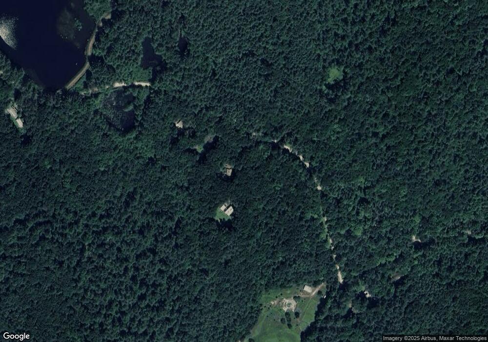
Map
Nearby Homes
- 60 Overlook Dr
- 11 Overlook Dr
- Lot A January Hills Rd
- Lot 2, January Hills Rd
- 0 Henry St
- Lot A Kingman Rd
- Lot 3A-3 Leverett Rd
- 185 Cherry Ln
- 113 Juggler Meadow Rd
- 12 Teawaddle Ln
- 270 N East St
- 100 Depot Rd
- 60 Red Gate Ln
- 0 Red Gate Ln Unit 73348273
- 0 Amherst Rd
- 9 Harkness Rd
- 39 Valley Ln
- 0 Heatherstone Rd
- 48 Gray St
- 61 S Valley Rd
- 50 Cushman Rd
- 58 Cushman Rd Unit 60
- 64 Cushman Rd
- 672 Pratt Corner Rd
- 678 Pratt Corner Rd
- 672 Pratt Corner Rd
- 662 Pratt Corner Rd
- 678 Pratt Corner Rd
- 712 Pratt Corner Rd
- 110 Cushman Rd
- 692 Pratt Corner Rd
- 42 Weatherwood Rd
- 20 Weatherwood Rd
- 60 Weatherwood Rd
- 77 Weatherwood Rd
- 623 Pratt Corner Rd
- 38 Weatherwood Rd
- 120 Cushman Rd
- 38 Weatherwood Rd
- 760 Pratt Corner Rd
Your Personal Tour Guide
Ask me questions while you tour the home.