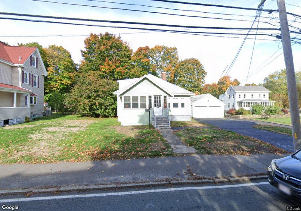
42 Nahant St Wakefield, MA 01880
East Side NeighborhoodEstimated Value: $552,000 - $737,000
2
Beds
2
Baths
924
Sq Ft
$681/Sq Ft
Est. Value
About This Home
This home is located at 42 Nahant St, Wakefield, MA 01880 and is currently estimated at $629,336, approximately $681 per square foot. 42 Nahant St is a home located in Middlesex County with nearby schools including Wakefield Memorial High School, St Joseph School, and St. Patrick Elementary School.
Ownership History
Date
Name
Owned For
Owner Type
Purchase Details
Closed on
Jun 8, 2001
Sold by
Cheever Richarc C Est
Bought by
Cheever Mark A and Cheever Laurie A
Current Estimated Value
Home Financials for this Owner
Home Financials are based on the most recent Mortgage that was taken out on this home.
Original Mortgage
$65,000
Interest Rate
7.08%
Mortgage Type
Purchase Money Mortgage
Create a Home Valuation Report for This Property
The Home Valuation Report is an in-depth analysis detailing your home's value as well as a comparison with similar homes in the area
Home Values in the Area
Average Home Value in this Area
Purchase History
| Date | Buyer | Sale Price | Title Company |
|---|---|---|---|
| Cheever Mark A | $150,400 | -- |
Source: Public Records
Mortgage History
| Date | Status | Borrower | Loan Amount |
|---|---|---|---|
| Open | Cheever Mark A | $73,000 | |
| Closed | Cheever Mark A | $65,000 |
Source: Public Records
Tax History Compared to Growth
Tax History
| Year | Tax Paid | Tax Assessment Tax Assessment Total Assessment is a certain percentage of the fair market value that is determined by local assessors to be the total taxable value of land and additions on the property. | Land | Improvement |
|---|---|---|---|---|
| 2025 | $6,413 | $565,000 | $363,500 | $201,500 |
| 2024 | $6,060 | $538,700 | $346,400 | $192,300 |
| 2023 | $6,077 | $518,100 | $332,900 | $185,200 |
| 2022 | $5,863 | $475,900 | $305,400 | $170,500 |
| 2021 | $5,251 | $412,500 | $264,000 | $148,500 |
| 2020 | $5,007 | $392,100 | $250,900 | $141,200 |
| 2019 | $4,856 | $378,500 | $242,200 | $136,300 |
| 2018 | $4,684 | $361,700 | $231,300 | $130,400 |
| 2017 | $4,446 | $341,200 | $218,200 | $123,000 |
| 2016 | $4,171 | $309,200 | $192,900 | $116,300 |
| 2015 | $4,090 | $303,400 | $189,200 | $114,200 |
| 2014 | $3,802 | $297,500 | $185,500 | $112,000 |
Source: Public Records
Map
Nearby Homes
- 38 Bennett St Unit 3D
- 134 Nahant St Unit B
- 6 Salisbury Rd
- 5 Bateman Ct Unit 5
- 22 Jefferson Rd
- 199 Nahant St
- 1 Sidney St
- 8 Everett St
- 9 Lilah Cir
- 762 Main St
- 772 Main St Unit 2
- 69 Foundry St Unit 416
- 69 Foundry St Unit 310
- 51 Crescent St
- 62 Foundry St Unit 310
- 62 Foundry St Unit 312
- 62 Foundry St Unit 506
- 62 Foundry St Unit 202
- 62 Foundry St Unit 208
- 62 Foundry St Unit 414
- 40 Nahant St
- 46 Nahant St
- 47 Nahant St
- 36 Nahant St
- 29 Franklin St
- 39 Nahant St
- 48 Nahant St
- 35A Nahant St
- 35 Nahant St Unit B
- 35 Nahant St Unit A
- 25 Franklin St Unit 27
- 52 Nahant St
- 52 Nahant St Unit 1
- 32 Nahant St Unit 32A
- 26 Franklin St
- 26 Franklin St Unit 2
- 21 Franklin St
- 30 Nahant St
- 31 Nahant St
- 32 Franklin St