Estimated Value: $578,000 - $625,000
3
Beds
2
Baths
2,275
Sq Ft
$263/Sq Ft
Est. Value
About This Home
This home is located at 42 Norris Rd, Weare, NH 03281 and is currently estimated at $598,736, approximately $263 per square foot. 42 Norris Rd is a home with nearby schools including Center Woods Elementary School, Weare Middle School, and John Stark Regional High School.
Create a Home Valuation Report for This Property
The Home Valuation Report is an in-depth analysis detailing your home's value as well as a comparison with similar homes in the area
Home Values in the Area
Average Home Value in this Area
Tax History Compared to Growth
Tax History
| Year | Tax Paid | Tax Assessment Tax Assessment Total Assessment is a certain percentage of the fair market value that is determined by local assessors to be the total taxable value of land and additions on the property. | Land | Improvement |
|---|---|---|---|---|
| 2024 | $7,191 | $352,673 | $103,373 | $249,300 |
| 2023 | $6,311 | $334,966 | $103,766 | $231,200 |
| 2022 | $5,828 | $334,966 | $103,766 | $231,200 |
| 2021 | $5,784 | $336,280 | $100,780 | $235,500 |
| 2020 | $5,876 | $245,333 | $76,433 | $168,900 |
| 2019 | $5,817 | $245,333 | $76,433 | $168,900 |
| 2018 | $5,646 | $244,200 | $75,300 | $168,900 |
| 2016 | $5,463 | $244,200 | $75,300 | $168,900 |
| 2015 | $5,264 | $234,900 | $72,500 | $162,400 |
| 2014 | $5,217 | $234,900 | $72,500 | $162,400 |
| 2013 | $5,109 | $234,900 | $72,500 | $162,400 |
Source: Public Records
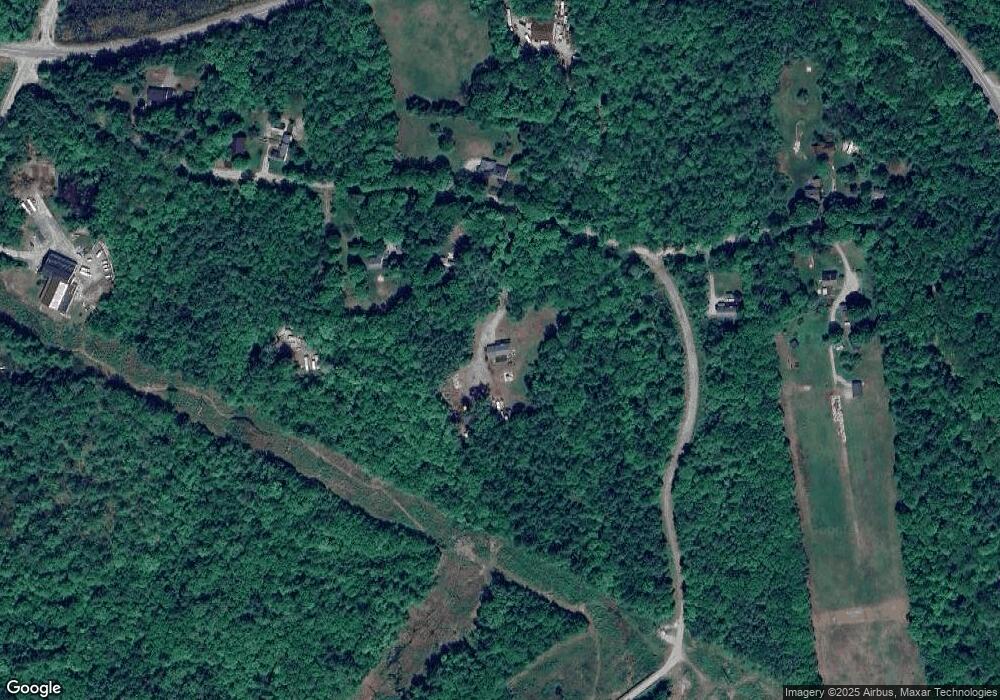
Map
Nearby Homes
- 174 S Stark Hwy Unit 13
- 174 S Stark Hwy Unit 1
- 174 S Stark Hwy Unit 23
- 93 Daniels Rd
- 77 Gould Rd
- 95 Wright Dr
- 103 Renshaw Rd
- 450 Weare Rd
- 624 S Stark Hwy
- 34 Lull Rd
- 342 Weare Rd
- 88 Saunders Rd
- 179 Oak Hill Rd
- 16 Palmer Rd
- 3 Stephanie Rd
- 22 Fairway Dr
- 0 Fairway Dr Unit 11
- 238 Old Francestown Rd
- 25 Pleasant St
- 196 Deering Center Rd