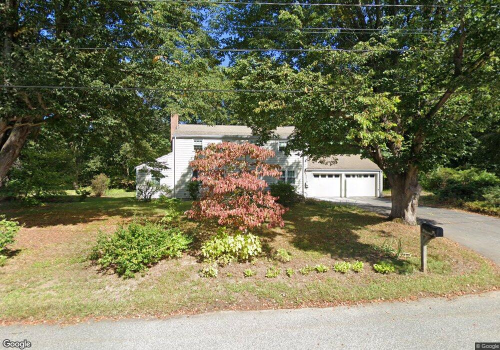
42 Paul Revere Rd Concord, MA 01742
Estimated Value: $1,143,000 - $1,259,000
4
Beds
2
Baths
2,150
Sq Ft
$554/Sq Ft
Est. Value
About This Home
This home is located at 42 Paul Revere Rd, Concord, MA 01742 and is currently estimated at $1,190,298, approximately $553 per square foot. 42 Paul Revere Rd is a home located in Middlesex County with nearby schools including Willard School, Concord Middle School, and Corwin-Russell School at Broccoli Hall.
Ownership History
Date
Name
Owned For
Owner Type
Purchase Details
Closed on
May 6, 2025
Sold by
Yamasaki Nobuko
Bought by
Nobuko Yamasaki Lt and Maeda
Current Estimated Value
Purchase Details
Closed on
Jul 1, 1983
Bought by
Maeda Robert J and Maeda Nobuko Y
Create a Home Valuation Report for This Property
The Home Valuation Report is an in-depth analysis detailing your home's value as well as a comparison with similar homes in the area
Home Values in the Area
Average Home Value in this Area
Purchase History
| Date | Buyer | Sale Price | Title Company |
|---|---|---|---|
| Nobuko Yamasaki Lt | -- | None Available | |
| Nobuko Yamasaki Lt | -- | None Available | |
| Maeda Robert J | $128,000 | -- |
Source: Public Records
Mortgage History
| Date | Status | Borrower | Loan Amount |
|---|---|---|---|
| Previous Owner | Maeda Robert J | $75,000 | |
| Previous Owner | Maeda Robert J | $50,000 | |
| Previous Owner | Maeda Robert J | $96,000 |
Source: Public Records
Tax History Compared to Growth
Tax History
| Year | Tax Paid | Tax Assessment Tax Assessment Total Assessment is a certain percentage of the fair market value that is determined by local assessors to be the total taxable value of land and additions on the property. | Land | Improvement |
|---|---|---|---|---|
| 2025 | $13,837 | $1,043,500 | $609,500 | $434,000 |
| 2024 | $13,701 | $1,043,500 | $609,500 | $434,000 |
| 2023 | $12,878 | $993,700 | $580,500 | $413,200 |
| 2022 | $11,935 | $808,600 | $464,300 | $344,300 |
| 2021 | $11,564 | $785,600 | $464,300 | $321,300 |
| 2020 | $11,293 | $793,600 | $464,300 | $329,300 |
| 2019 | $10,715 | $755,100 | $450,900 | $304,200 |
| 2018 | $10,144 | $709,900 | $409,900 | $300,000 |
| 2017 | $10,106 | $718,300 | $418,300 | $300,000 |
| 2016 | $9,942 | $714,200 | $418,300 | $295,900 |
| 2015 | $9,036 | $632,300 | $361,500 | $270,800 |
Source: Public Records
Map
Nearby Homes
- 40 Rookery Ln Unit 5
- 72 Rookery Ln Unit 3
- 37 Wolf Pine Way
- 24 Rookery Ln Unit 6
- 121 White Pond Way Unit 121
- 56 Rookery Ln Unit 4
- 497 Old Road to 9 Acre Corner
- 401 Emery Ln Unit 104
- 401 Emery Ln Unit 304
- 12 S Meadow Ridge Unit 12
- 12 S Meadow Ridge
- 114 Upland Rd
- 42 Dakin Rd
- 16 Blacksmith Dr
- 111 Central St
- 1053 Main St
- 70 McCallar Ln
- 24 Concord Greene Unit 7
- 102 Highland St
- 16 Concord Greene Unit 5
- 28 Paul Revere Rd
- 49 Paul Revere Rd
- 29 Paul Revere Rd
- 63 Peter Bulkeley Rd
- 91 Peter Bulkeley Rd
- 67 Paul Revere Rd
- 82 Paul Revere Rd
- 43 Peter Bulkeley Rd
- 96 Paul Revere Rd
- 276 Powder Mill Rd
- 66 Alford Cir
- 244 Powder Mill Rd
- 290 Powder Mill Rd
- 258 Powder Mill Rd
- 70 Peter Bulkeley Rd
- 42 Peter Bulkeley Rd
- 86 Peter Bulkeley Rd
- 195 Mattison Dr
- 98 Peter Bulkeley Rd
- 56 Peter Bulkeley Rd