42 Shaw Farm Rd Cumberland Center, ME 04021
West Cumberland NeighborhoodEstimated Value: $1,111,000 - $1,257,000
4
Beds
3
Baths
3,206
Sq Ft
$371/Sq Ft
Est. Value
About This Home
This home is located at 42 Shaw Farm Rd, Cumberland Center, ME 04021 and is currently estimated at $1,190,245, approximately $371 per square foot. 42 Shaw Farm Rd is a home located in Cumberland County with nearby schools including Mabel I. Wilson School, Greely Middle School 4-5, and Greely Middle School.
Ownership History
Date
Name
Owned For
Owner Type
Purchase Details
Closed on
Dec 22, 2023
Sold by
Waterhouse Megan H
Bought by
Megan H Waterhouse Ret and Waterhouse
Current Estimated Value
Purchase Details
Closed on
Jul 23, 2018
Sold by
Robert B Waterhouse T B and Robert Waterhouse
Bought by
Waterhouse Megan H
Create a Home Valuation Report for This Property
The Home Valuation Report is an in-depth analysis detailing your home's value as well as a comparison with similar homes in the area
Home Values in the Area
Average Home Value in this Area
Purchase History
| Date | Buyer | Sale Price | Title Company |
|---|---|---|---|
| Megan H Waterhouse Ret | -- | None Available | |
| Waterhouse Megan H | -- | -- | |
| Robert B Waterhouse T B | -- | -- |
Source: Public Records
Tax History Compared to Growth
Tax History
| Year | Tax Paid | Tax Assessment Tax Assessment Total Assessment is a certain percentage of the fair market value that is determined by local assessors to be the total taxable value of land and additions on the property. | Land | Improvement |
|---|---|---|---|---|
| 2024 | $12,632 | $543,300 | $198,200 | $345,100 |
| 2023 | $12,065 | $544,700 | $199,600 | $345,100 |
| 2022 | $11,596 | $547,000 | $201,900 | $345,100 |
| 2021 | $11,263 | $548,100 | $203,000 | $345,100 |
| 2020 | $11,345 | $557,500 | $203,500 | $354,000 |
| 2019 | $11,183 | $563,400 | $203,300 | $360,100 |
| 2018 | $11,438 | $580,600 | $203,500 | $377,100 |
| 2017 | $10,889 | $579,200 | $202,100 | $377,100 |
| 2016 | $10,507 | $575,700 | $198,600 | $377,100 |
| 2015 | $10,426 | $576,000 | $198,900 | $377,100 |
| 2014 | $10,022 | $576,000 | $198,900 | $377,100 |
| 2013 | $9,792 | $576,000 | $198,900 | $377,100 |
Source: Public Records
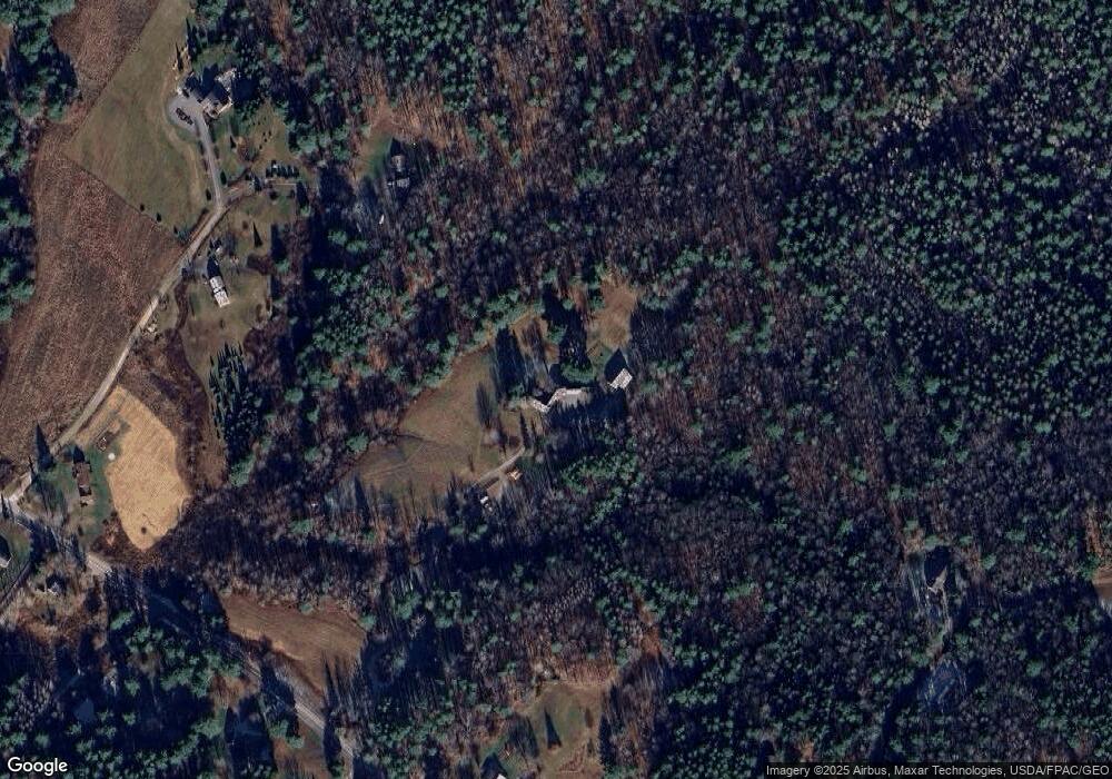
Map
Nearby Homes
- U20-1 Gray Rd
- 46 Blackberry Ln
- 12 Laurence Way
- 8 Summer Way
- 17 Buds Trail
- 49 Hadlock Rd
- 22 Linsausiq Way
- 7 Preston Way
- 57&57D Tinker Ln and Pointer Way
- 9 Mill Ridge Rd
- 14 Maple St
- 0 Tinker Ln Unit 57D
- 0 Pointer Way Unit LOT 57
- 9 Maple St
- 15 Inverness Rd
- 43 Skillin Rd
- 330 Main St Unit 1
- 193 Main St
- 2 Bradbury Way
- 26 Feldspar Ln Unit 22