42 Snows Point Edgartown, MA 02539
Edgartown NeighborhoodEstimated Value: $3,090,000 - $3,848,000
About This Home
This home is located at 42 Snows Point, Edgartown, MA 02539 and is currently estimated at $3,515,536, approximately $4,394 per square foot. 42 Snows Point is a home located in Dukes County with nearby schools including Edgartown Elementary School and Martha's Vineyard Regional High School.
Ownership History
We collect this data history from publicly available records. To have your information removed, we recommend requesting removal directly through your county’s website.
Purchase Details
Purchase Details
Home Financials for this Owner
Home Financials are based on the most recent Mortgage that was taken out on this home.Home Values in the Area
Average Home Value in this Area
Purchase History
We collect this data history from publicly available records. To have your information removed, we recommend requesting removal directly through your county’s website.
| Date | Buyer | Sale Price | Title Company |
|---|---|---|---|
| -- | -- | ||
| -- | -- | ||
| -- | -- | ||
| $1,200,000 | -- |
Mortgage History
We collect this data history from publicly available records. To have your information removed, we recommend requesting removal directly through your county’s website.
| Date | Status | Borrower | Loan Amount |
|---|---|---|---|
| Previous Owner | $960,000 |
Tax History
We collect this data history from publicly available records. To have your information removed, we recommend requesting removal directly through your county’s website.
| Year | Tax Paid | Tax Assessment Tax Assessment Total Assessment is a certain percentage of the fair market value that is determined by local assessors to be the total taxable value of land and additions on the property. | Land | Improvement |
|---|---|---|---|---|
| 2025 | $8,469 | $3,196,000 | $2,233,700 | $962,300 |
| 2024 | $7,553 | $2,962,100 | $2,179,200 | $782,900 |
| 2023 | $7,088 | $2,812,800 | $2,070,300 | $742,500 |
| 2022 | $7,122 | $2,350,544 | $1,852,344 | $498,200 |
| 2021 | $7,775 | $1,884,298 | $1,416,498 | $467,800 |
| 2020 | $6,975 | $2,082,021 | $1,634,421 | $447,600 |
| 2019 | $7,459 | $1,927,300 | $1,525,500 | $401,800 |
| 2018 | $7,189 | $1,857,600 | $1,579,900 | $277,700 |
| 2017 | $6,828 | $1,852,500 | $1,579,900 | $272,600 |
| 2016 | $6,632 | $1,832,100 | $1,579,900 | $252,200 |
| 2015 | $6,381 | $1,838,900 | $1,579,900 | $259,000 |
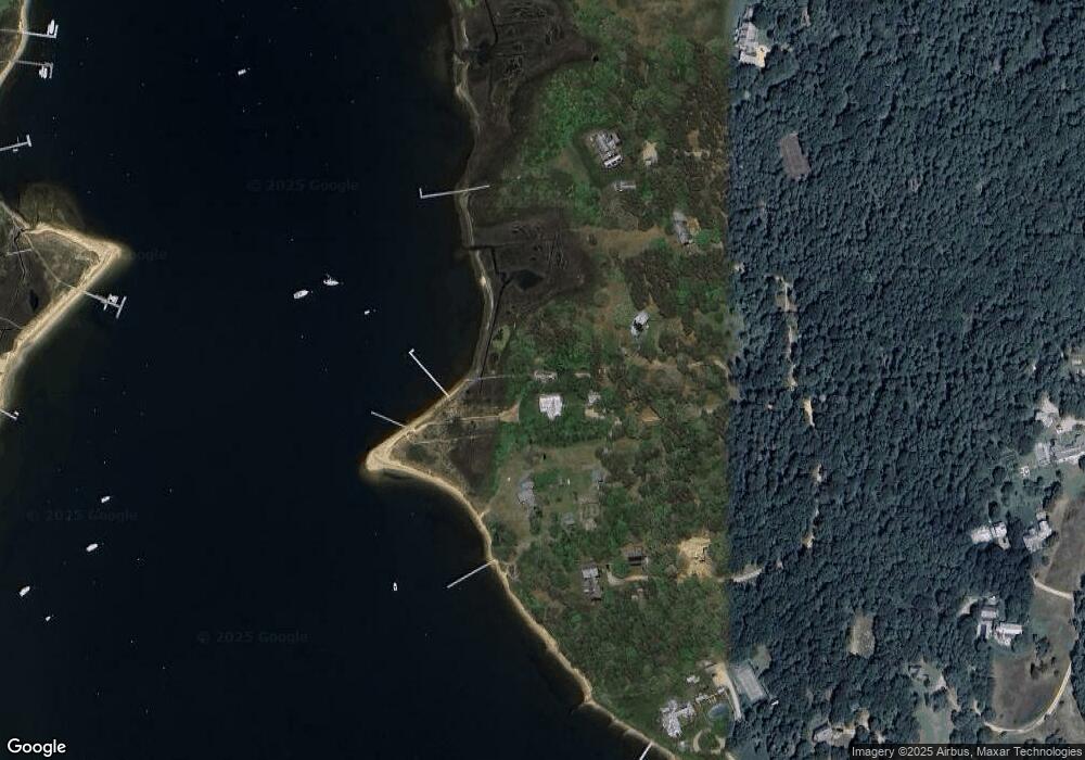
Map
- 25 Lelands Path
- 7 Martha's Way
- 3 Somerset Ln
- 23 Calebs Common Ln Unit 101
- 23 Calebs Common Ln
- 9 Martha's Way
- 7 Katama Dr
- 109 Litchfield Rd
- 2 Lexington Ave
- 10 Pease Point Rd Unit 57
- 10 Pease Point Rd
- 24 Katama Bay View Rd
- 2 Cosmos Way
- 17 Katama Point Rd
- 17 Town Lot Rd
- 24 Atwood Cir
- 8 Atwood Cir
- 28 Deacon Vincent Way
- 60 Crocker Dr
- 21 Schoolhouse Rd
- 42 Snow's Point
- 46 Snows Point
- 37 Snows Point
- 32 Snows Point
- 35 Snows Point
- 30 Snows Point
- 66 Litchfield Rd
- 60 Green Pastures Rd
- 54 Litchfield Rd
- 56 Green Pastures Rd
- 52 Green Pastures Rd
- 32 Green Pastures Rd
- 36 Green Pastures Rd
- 28 Green Pastures Rd
- 24 Green Pastures Rd
- 36 Down Harbor Rd
- 34 Down Harbor Rd
- 14 Guernsey Ln
- 16 Guernsey Ln
- 30 Down Harbor Rd
Ask me questions while you tour the home.