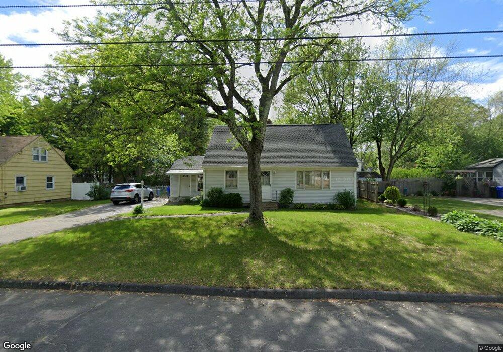
42 Sparrow Dr Springfield, MA 01119
Sixteen Acres NeighborhoodEstimated Value: $325,619 - $343,000
4
Beds
2
Baths
1,470
Sq Ft
$230/Sq Ft
Est. Value
About This Home
This home is located at 42 Sparrow Dr, Springfield, MA 01119 and is currently estimated at $337,905, approximately $229 per square foot. 42 Sparrow Dr is a home located in Hampden County with nearby schools including Mary M. Lynch Elementary School, John J Duggan Middle, and Springfield Central High School.
Ownership History
Date
Name
Owned For
Owner Type
Purchase Details
Closed on
May 22, 2012
Sold by
Boisjoli Daniel J
Bought by
Boisjoli Alyson B
Current Estimated Value
Purchase Details
Closed on
Nov 9, 2007
Sold by
Shurman Alyson B
Bought by
Shurman Alyson B and Boisjoli Daniel J
Create a Home Valuation Report for This Property
The Home Valuation Report is an in-depth analysis detailing your home's value as well as a comparison with similar homes in the area
Home Values in the Area
Average Home Value in this Area
Purchase History
| Date | Buyer | Sale Price | Title Company |
|---|---|---|---|
| Boisjoli Alyson B | -- | -- | |
| Shurman Alyson B | -- | -- |
Source: Public Records
Tax History
| Year | Tax Paid | Tax Assessment Tax Assessment Total Assessment is a certain percentage of the fair market value that is determined by local assessors to be the total taxable value of land and additions on the property. | Land | Improvement |
|---|---|---|---|---|
| 2025 | $4,102 | $261,600 | $52,400 | $209,200 |
| 2024 | $3,856 | $240,100 | $52,400 | $187,700 |
| 2023 | $3,708 | $217,500 | $49,900 | $167,600 |
| 2022 | $3,378 | $179,500 | $49,900 | $129,600 |
| 2021 | $3,336 | $176,500 | $45,300 | $131,200 |
| 2020 | $3,197 | $163,700 | $45,300 | $118,400 |
| 2019 | $3,070 | $156,000 | $45,300 | $110,700 |
| 2018 | $3,066 | $155,800 | $45,300 | $110,500 |
| 2017 | $3,083 | $156,800 | $45,200 | $111,600 |
| 2016 | $2,805 | $142,700 | $45,200 | $97,500 |
| 2015 | $2,813 | $143,000 | $45,200 | $97,800 |
Source: Public Records
Map
Nearby Homes
- 381 N Brook Rd
- 854 Grayson Dr
- 235 Starling Rd
- 186 Bolton St
- 130 Spear Rd
- 19 Annies Way
- 195 Almira Rd
- 64 Wilmington St
- 56 Contessa Ln
- 239 Gresham St
- 108 Birchland Ave
- 187 Lamont St
- Lot 37 Kane St
- 106 Almira Rd
- 297 Breckwood Blvd
- - Glenwood St
- 42 Better Way
- 25 Nassau Dr Unit 25
- 71 Nassau Dr
- 44 Nassau Dr
Your Personal Tour Guide
Ask me questions while you tour the home.