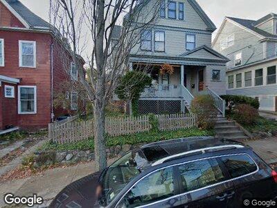
42 Tennyson St Somerville, MA 02145
Winter Hill NeighborhoodEstimated Value: $1,009,000 - $1,399,000
3
Beds
3
Baths
2,265
Sq Ft
$519/Sq Ft
Est. Value
About This Home
This home is located at 42 Tennyson St, Somerville, MA 02145 and is currently estimated at $1,175,786, approximately $519 per square foot. 42 Tennyson St is a home located in Middlesex County with nearby schools including Somerville High School and Bright Future Educare Center.
Ownership History
Date
Name
Owned For
Owner Type
Purchase Details
Closed on
Mar 13, 2009
Sold by
E Howe Nt and Cary Miner A
Bought by
Howe Christoher H
Current Estimated Value
Purchase Details
Closed on
Aug 3, 2005
Sold by
Morrill Kayren B
Bought by
Howe Edith C
Create a Home Valuation Report for This Property
The Home Valuation Report is an in-depth analysis detailing your home's value as well as a comparison with similar homes in the area
Home Values in the Area
Average Home Value in this Area
Purchase History
| Date | Buyer | Sale Price | Title Company |
|---|---|---|---|
| Howe Christoher H | -- | -- | |
| E Howe Nt | -- | -- | |
| Howe Edith C | $600,000 | -- |
Source: Public Records
Mortgage History
| Date | Status | Borrower | Loan Amount |
|---|---|---|---|
| Previous Owner | Morrill Kayren B | $200,000 | |
| Previous Owner | Morrill Kayren B | $30,000 | |
| Previous Owner | Morrill Kayren B | $25,000 | |
| Previous Owner | Morrill Kayren B | $46,000 |
Source: Public Records
Tax History Compared to Growth
Tax History
| Year | Tax Paid | Tax Assessment Tax Assessment Total Assessment is a certain percentage of the fair market value that is determined by local assessors to be the total taxable value of land and additions on the property. | Land | Improvement |
|---|---|---|---|---|
| 2025 | $10,151 | $930,400 | $431,000 | $499,400 |
| 2024 | $9,694 | $921,500 | $431,000 | $490,500 |
| 2023 | $9,185 | $888,300 | $431,000 | $457,300 |
| 2022 | $8,654 | $850,100 | $410,500 | $439,600 |
| 2021 | $8,215 | $806,200 | $390,900 | $415,300 |
| 2020 | $7,737 | $766,800 | $375,900 | $390,900 |
| 2019 | $7,043 | $654,600 | $319,000 | $335,600 |
| 2018 | $6,818 | $602,800 | $307,800 | $295,000 |
| 2017 | $6,659 | $570,600 | $287,000 | $283,600 |
| 2016 | $6,349 | $506,700 | $248,100 | $258,600 |
| 2015 | $6,067 | $481,100 | $221,300 | $259,800 |
Source: Public Records
Map
Nearby Homes
- 433 Medford St
- 26 Robinson St
- 17 Sycamore Terrace
- 402 Medford St Unit 2
- 8 Fairview Terrace Unit 1
- 25 Browning Rd
- 32 Bartlett St Unit 1
- 32 Bartlett St Unit PH
- 8 Lee St Unit 2
- 40 Dartmouth St Unit 1
- 49 Glenwood Rd
- 16 Bartlett St
- 115 Thurston St Unit D
- 115 Thurston St Unit H
- 115 Thurston St Unit B
- 115 Thurston St Unit E
- 115 Thurston St Unit A
- 115 Thurston St Unit I
- 59 Partridge Ave Unit 2
- 59 Dartmouth St Unit C
- 42 Tennyson St
- 44 Tennyson St
- 38 Tennyson St
- 36 Tennyson St
- 36 Tennyson St Unit 2
- 151 Central St Unit 1
- 151 Central St Unit 2
- 151 Central St
- 151 Central St
- 153 Central St
- 149 Central St
- 149 Central St Unit 3
- 43 Tennyson St
- 48 Tennyson St
- 155 Central St
- 429 Medford St
- 429 Medford St
- 429 Medford St Unit 3
- 429 Medford St Unit 2
- 429 Medford St Unit 1