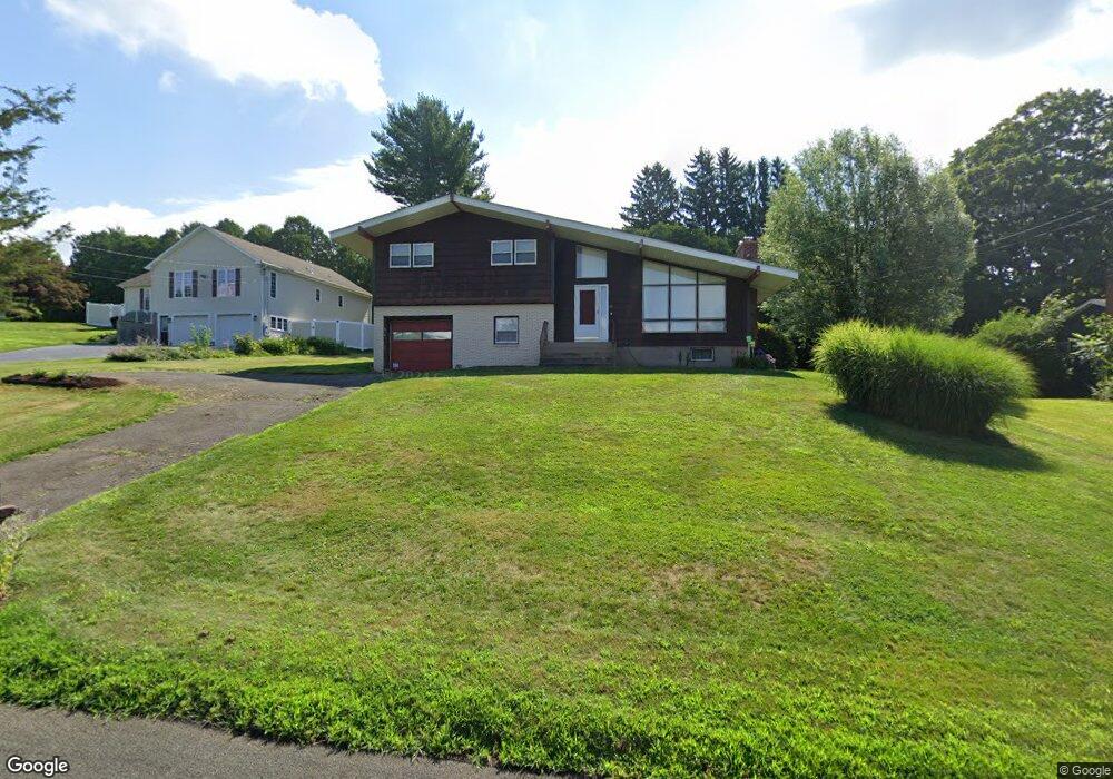
42 Toad Ridge Rd Middlefield, CT 06455
Estimated Value: $400,000 - $433,000
3
Beds
4
Baths
1,406
Sq Ft
$291/Sq Ft
Est. Value
About This Home
This home is located at 42 Toad Ridge Rd, Middlefield, CT 06455 and is currently estimated at $408,703, approximately $290 per square foot. 42 Toad Ridge Rd is a home located in Middlesex County with nearby schools including Frank Ward Strong School, Coginchaug Regional High School, and The Independent Day School.
Ownership History
Date
Name
Owned For
Owner Type
Purchase Details
Closed on
Dec 17, 2007
Sold by
Est Manuel Joan Alice and Manuel Frederick R
Bought by
Fanska Theresa C
Current Estimated Value
Home Financials for this Owner
Home Financials are based on the most recent Mortgage that was taken out on this home.
Original Mortgage
$248,000
Interest Rate
6.25%
Create a Home Valuation Report for This Property
The Home Valuation Report is an in-depth analysis detailing your home's value as well as a comparison with similar homes in the area
Home Values in the Area
Average Home Value in this Area
Purchase History
| Date | Buyer | Sale Price | Title Company |
|---|---|---|---|
| Fanska Theresa C | $288,000 | -- |
Source: Public Records
Mortgage History
| Date | Status | Borrower | Loan Amount |
|---|---|---|---|
| Open | Fanska Theresa C | $240,500 | |
| Closed | Fanska Theresa C | $248,000 |
Source: Public Records
Tax History Compared to Growth
Tax History
| Year | Tax Paid | Tax Assessment Tax Assessment Total Assessment is a certain percentage of the fair market value that is determined by local assessors to be the total taxable value of land and additions on the property. | Land | Improvement |
|---|---|---|---|---|
| 2025 | $5,263 | $176,600 | $78,900 | $97,700 |
| 2024 | $4,955 | $176,600 | $78,900 | $97,700 |
| 2023 | $4,987 | $176,600 | $78,900 | $97,700 |
| 2022 | $4,867 | $176,600 | $78,900 | $97,700 |
| 2021 | $10,948 | $136,700 | $73,500 | $63,200 |
| 2020 | $4,406 | $136,700 | $73,500 | $63,200 |
| 2019 | $4,439 | $136,700 | $73,500 | $63,200 |
| 2018 | $4,715 | $136,700 | $73,500 | $63,200 |
| 2017 | $9,359 | $136,700 | $73,500 | $63,200 |
| 2016 | $5,428 | $165,300 | $80,200 | $85,100 |
| 2015 | $5,566 | $165,300 | $80,200 | $85,100 |
| 2014 | $5,607 | $165,300 | $80,200 | $85,100 |
Source: Public Records
Map
Nearby Homes
- 31 High St Unit Lot 3
- 31 High St Unit Lot 2
- 0 Baileyville Rd
- 80 West St
- 88 Powder Hill Rd
- 10 Massasoit Rd
- 0 Kikapoo Rd
- 18 Rosemary Ct
- 11 Pond Meadow Place
- 7 Greenview
- 161 Peters Ln
- 140 Main St
- 26 Collindale Dr
- 142 Thorpe Ave
- 1311 Old East Main St Unit A
- 120 Scenic View Dr
- 164 Valley View Dr
- 361 Pomeroy Ave
- 1280 E Main St
- 180 Wayne Ln
- 46 Toad Ridge Rd
- 36 Toad Ridge Rd
- 50 Toad Ridge Rd
- 37 Toad Ridge Rd
- 42 Mack Rd
- 41 Toad Ridge Rd
- 32 Toad Ridge Rd
- 47 Toad Ridge Rd
- 31 Toad Ridge Rd
- 56 Mack Rd
- 56 Toad Ridge Rd
- 38 Mack Rd
- 51 Toad Ridge Rd
- 10 Esther Dr
- 30 Toad Ridge Rd
- 12 Esther Dr
- 16 Esther Dr
- 23 Toad Ridge Rd
- 62 Toad Ridge Rd
- 55 Toad Ridge Rd