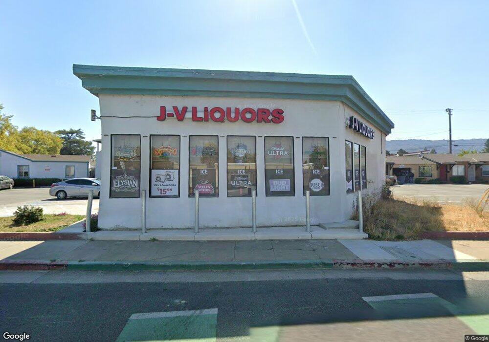
420 1st St Gilroy, CA 95020
2
Beds
1
Bath
4,937
Sq Ft
0.32
Acres
About This Home
This home is located at 420 1st St, Gilroy, CA 95020. 420 1st St is a home located in Santa Clara County with nearby schools including El Roble Elementary School, Brownell Middle School, and Solorsano Middle School.
Ownership History
Date
Name
Owned For
Owner Type
Purchase Details
Closed on
Aug 8, 2022
Sold by
Sulaiman Tareq H
Bought by
Tareq H Sulaiman Revocable Trust and Sulaiman
Purchase Details
Closed on
Jun 2, 1994
Sold by
South Valley National Bank
Bought by
Sulaiman Tareq H
Home Financials for this Owner
Home Financials are based on the most recent Mortgage that was taken out on this home.
Original Mortgage
$364,500
Interest Rate
8.35%
Mortgage Type
Commercial
Create a Home Valuation Report for This Property
The Home Valuation Report is an in-depth analysis detailing your home's value as well as a comparison with similar homes in the area
Home Values in the Area
Average Home Value in this Area
Purchase History
| Date | Buyer | Sale Price | Title Company |
|---|---|---|---|
| Tareq H Sulaiman Revocable Trust | -- | Mitchell Robert B | |
| Sulaiman Tareq H | $405,000 | Chicago Title Insurance Co | |
| Sulaiman Tareq H | -- | Chicago Title Insurance Co |
Source: Public Records
Mortgage History
| Date | Status | Borrower | Loan Amount |
|---|---|---|---|
| Previous Owner | Sulaiman Tareq H | $364,500 |
Source: Public Records
Tax History Compared to Growth
Tax History
| Year | Tax Paid | Tax Assessment Tax Assessment Total Assessment is a certain percentage of the fair market value that is determined by local assessors to be the total taxable value of land and additions on the property. | Land | Improvement |
|---|---|---|---|---|
| 2025 | $8,524 | $688,355 | $238,794 | $449,561 |
| 2024 | $8,524 | $674,859 | $234,112 | $440,747 |
| 2023 | $8,472 | $661,627 | $229,522 | $432,105 |
| 2022 | $8,330 | $648,655 | $225,022 | $423,633 |
| 2021 | $8,288 | $635,937 | $220,610 | $415,327 |
| 2020 | $8,196 | $629,417 | $218,348 | $411,069 |
| 2019 | $8,122 | $617,076 | $214,067 | $403,009 |
| 2018 | $7,587 | $604,977 | $209,870 | $395,107 |
| 2017 | $7,742 | $593,115 | $205,755 | $387,360 |
| 2016 | $7,586 | $581,486 | $201,721 | $379,765 |
| 2015 | $7,160 | $572,752 | $198,691 | $374,061 |
| 2014 | $7,114 | $561,533 | $194,799 | $366,734 |
Source: Public Records
Map
Nearby Homes
- 7691 Church St Unit B
- 7630 Hanna St
- 7711 Monterey St
- 7681 Rea St
- 194 4th St
- 8420 David Ct
- 751 La Paloma Way
- 286 5th St
- 160 Sarafina Way
- 780 Welburn Ave
- 188 Caroline Ln
- 714 Sullivan Way
- 0 Monterey Rd
- 8340 Forest St
- 722 Carver Place
- 7621 Forest St
- 1 Poli Rd
- 0 Apn 835-07-018 and Apn 835-07-019 Ave Unit ML82018888
- 0 Dorrance Rd Unit ML82002071
- 0000 Hecker Pass
