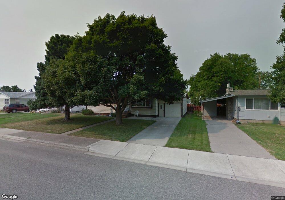
420 Everett Dr Billings, MT 59102
East Central Billings NeighborhoodEstimated Value: $308,000 - $342,000
3
Beds
2
Baths
2,184
Sq Ft
$149/Sq Ft
Est. Value
About This Home
This home is located at 420 Everett Dr, Billings, MT 59102 and is currently estimated at $324,722, approximately $148 per square foot. 420 Everett Dr is a home located in Yellowstone County with nearby schools including Washington School, Lewis & Clark Junior High School, and Billings Senior High School.
Ownership History
Date
Name
Owned For
Owner Type
Purchase Details
Closed on
Aug 19, 2020
Sold by
Corneliusen Raymond A and Corneliusen Betry G
Bought by
Bloom Zeboriah R
Current Estimated Value
Home Financials for this Owner
Home Financials are based on the most recent Mortgage that was taken out on this home.
Original Mortgage
$166,000
Outstanding Balance
$147,254
Interest Rate
3%
Mortgage Type
Commercial
Estimated Equity
$177,468
Purchase Details
Closed on
Mar 30, 2011
Sold by
Corneliusen Steven Ray and Corneliusen Stewart Jay
Bought by
Corneliusen Raymond R and Corneliusen Betty G
Create a Home Valuation Report for This Property
The Home Valuation Report is an in-depth analysis detailing your home's value as well as a comparison with similar homes in the area
Home Values in the Area
Average Home Value in this Area
Purchase History
| Date | Buyer | Sale Price | Title Company |
|---|---|---|---|
| Bloom Zeboriah R | -- | First Montana Title Co | |
| Corneliusen Raymond R | -- | None Available | |
| Corneluisen Steven Ray | -- | None Available |
Source: Public Records
Mortgage History
| Date | Status | Borrower | Loan Amount |
|---|---|---|---|
| Open | Bloom Zeboriah R | $166,000 | |
| Closed | Bloom Zeboriah R | $166,000 |
Source: Public Records
Tax History
| Year | Tax Paid | Tax Assessment Tax Assessment Total Assessment is a certain percentage of the fair market value that is determined by local assessors to be the total taxable value of land and additions on the property. | Land | Improvement |
|---|---|---|---|---|
| 2025 | $2,756 | $312,300 | $48,701 | $263,599 |
| 2024 | $2,756 | $284,500 | $44,927 | $239,573 |
| 2023 | $2,760 | $284,500 | $44,927 | $239,573 |
| 2022 | $2,460 | $222,100 | $0 | $0 |
| 2021 | $2,343 | $222,100 | $0 | $0 |
| 2020 | $2,115 | $189,300 | $0 | $0 |
| 2019 | $2,021 | $189,300 | $0 | $0 |
| 2018 | $1,884 | $172,200 | $0 | $0 |
| 2017 | $1,594 | $172,200 | $0 | $0 |
| 2016 | $1,764 | $168,400 | $0 | $0 |
| 2015 | $1,725 | $168,400 | $0 | $0 |
| 2014 | $1,640 | $85,171 | $0 | $0 |
Source: Public Records
Map
Nearby Homes
- 1326 Custer Ave
- 1342 Custer Ave
- 1310 Yellowstone Ave Unit 6
- 1310 Yellowstone Ave Unit 16
- 1245 Cook Ave
- 1288 Yellowstone Ave Unit 2
- 1225 Clark Ave
- 1205 Lynn Ave
- 1009 Wyoming Ave
- 1029 Yellowstone Ave Unit 2
- 1003 Wyoming Ave
- 947 Howard Ave
- 1537 Wyoming Ave Unit D
- 925 Miles Ave
- 11 Alma Ln
- 1216 Eldorado Dr
- 1204 Eldorado Dr
- 1627 Yellowstone Ave
- 1736 Broadwater Ave
- 43 Prickett Ln
Your Personal Tour Guide
Ask me questions while you tour the home.