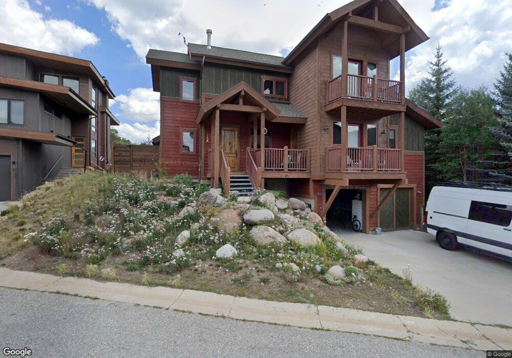
420 Miesel Dr Dillon, CO 80435
Keystone NeighborhoodEstimated Value: $1,412,034 - $2,113,000
4
Beds
4
Baths
2,205
Sq Ft
$778/Sq Ft
Est. Value
About This Home
This home is located at 420 Miesel Dr, Dillon, CO 80435 and is currently estimated at $1,714,759, approximately $777 per square foot. 420 Miesel Dr is a home located in Summit County with nearby schools including Summit Cove Elementary School, Summit Middle School, and Summit High School.
Ownership History
Date
Name
Owned For
Owner Type
Purchase Details
Closed on
Jan 18, 2021
Sold by
Stook Stover H
Bought by
Snook John S
Current Estimated Value
Home Financials for this Owner
Home Financials are based on the most recent Mortgage that was taken out on this home.
Original Mortgage
$548,250
Outstanding Balance
$488,970
Interest Rate
2.67%
Mortgage Type
New Conventional
Estimated Equity
$1,225,789
Purchase Details
Closed on
Oct 2, 2017
Sold by
Beebe Christopher M and Lobry Diana M
Bought by
Snook John S and Snook Stover H
Home Financials for this Owner
Home Financials are based on the most recent Mortgage that was taken out on this home.
Original Mortgage
$600,000
Interest Rate
3.86%
Mortgage Type
New Conventional
Create a Home Valuation Report for This Property
The Home Valuation Report is an in-depth analysis detailing your home's value as well as a comparison with similar homes in the area
Home Values in the Area
Average Home Value in this Area
Purchase History
| Date | Buyer | Sale Price | Title Company |
|---|---|---|---|
| Snook John S | -- | Heritage Title Company | |
| Snook John S | $885,000 | Land Title Guarantee Co |
Source: Public Records
Mortgage History
| Date | Status | Borrower | Loan Amount |
|---|---|---|---|
| Open | Snook John S | $548,250 | |
| Previous Owner | Snook John S | $600,000 |
Source: Public Records
Tax History
| Year | Tax Paid | Tax Assessment Tax Assessment Total Assessment is a certain percentage of the fair market value that is determined by local assessors to be the total taxable value of land and additions on the property. | Land | Improvement |
|---|---|---|---|---|
| 2024 | $5,006 | $96,346 | -- | -- |
| 2023 | $5,006 | $92,661 | $0 | $0 |
| 2022 | $4,035 | $70,610 | $0 | $0 |
| 2021 | $4,070 | $72,642 | $0 | $0 |
| 2020 | $3,515 | $67,024 | $0 | $0 |
| 2019 | $3,467 | $67,024 | $0 | $0 |
| 2018 | $2,851 | $53,408 | $0 | $0 |
| 2017 | $2,607 | $53,408 | $0 | $0 |
| 2016 | $2,658 | $53,631 | $0 | $0 |
| 2015 | $2,575 | $53,631 | $0 | $0 |
| 2014 | $2,382 | $48,982 | $0 | $0 |
| 2013 | -- | $48,982 | $0 | $0 |
Source: Public Records
Map
Nearby Homes
- 24 Rasor Dr
- 24 Rasor Dr Unit 24
- 22787 Us Highway 6 Unit 209
- 22787 Us Highway 6 Unit 207
- 22787 Us Highway 6 Unit 209
- 23062 US Highway 6 Unit A8
- 22864 US Highway 6 Unit 107
- 22974 Us Highway 6 Unit 102
- 22974 Us Highway 6 Unit 102
- 22804 US Highway 6 Unit 103
- 22784 US Highway 6 Unit 2628
- 22784 US Highway 6 Unit 2634
- 23197 Willow Ln Unit 27
- 23110 US Highway 6 Unit 5062
- 1653 Oro Grande Dr Unit AA18
- 22714 US Highway 6 Unit 5971
- 22714 US Highway 6 Unit 5989
- 22714 US Highway 6 Unit 5945
- 1211 W Keystone Rd Unit 2738
- 1211 W Keystone Rd Unit 2766
Your Personal Tour Guide
Ask me questions while you tour the home.