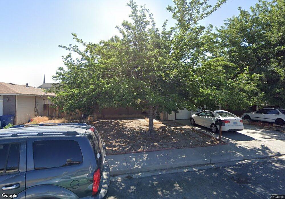
420 Pheasant Dr Fallon, NV 89406
Estimated Value: $330,000 - $350,000
3
Beds
2
Baths
1,366
Sq Ft
$247/Sq Ft
Est. Value
About This Home
This home is located at 420 Pheasant Dr, Fallon, NV 89406 and is currently estimated at $337,826, approximately $247 per square foot. 420 Pheasant Dr is a home located in Churchill County with nearby schools including E.C. Best Elementary School, Lahontan Elementary School, and Numa Elementary School.
Ownership History
Date
Name
Owned For
Owner Type
Purchase Details
Closed on
Mar 13, 2007
Sold by
Lunardini Ernest F
Bought by
Sibley Jeffery and Sibley Larae
Current Estimated Value
Home Financials for this Owner
Home Financials are based on the most recent Mortgage that was taken out on this home.
Original Mortgage
$164,419
Outstanding Balance
$98,316
Interest Rate
6.13%
Mortgage Type
FHA
Estimated Equity
$239,510
Create a Home Valuation Report for This Property
The Home Valuation Report is an in-depth analysis detailing your home's value as well as a comparison with similar homes in the area
Home Values in the Area
Average Home Value in this Area
Purchase History
| Date | Buyer | Sale Price | Title Company |
|---|---|---|---|
| Sibley Jeffery | $167,000 | Stewart Title Company |
Source: Public Records
Mortgage History
| Date | Status | Borrower | Loan Amount |
|---|---|---|---|
| Open | Sibley Jeffery | $164,419 |
Source: Public Records
Tax History Compared to Growth
Tax History
| Year | Tax Paid | Tax Assessment Tax Assessment Total Assessment is a certain percentage of the fair market value that is determined by local assessors to be the total taxable value of land and additions on the property. | Land | Improvement |
|---|---|---|---|---|
| 2025 | $1,737 | $56,917 | $21,700 | $35,217 |
| 2024 | $1,737 | $56,010 | $19,950 | $36,060 |
| 2023 | $1,737 | $54,319 | $19,950 | $34,369 |
| 2022 | $1,489 | $42,029 | $11,900 | $30,129 |
| 2021 | $1,378 | $41,444 | $11,900 | $29,544 |
| 2020 | $1,327 | $39,610 | $11,900 | $27,710 |
| 2019 | $1,282 | $39,251 | $11,900 | $27,351 |
| 2018 | $1,224 | $38,891 | $11,900 | $26,991 |
| 2017 | $1,174 | $37,776 | $10,500 | $27,276 |
| 2016 | $1,144 | $33,437 | $7,875 | $25,562 |
| 2015 | $1,122 | $30,788 | $7,875 | $22,913 |
| 2014 | $1,095 | $28,907 | $7,875 | $21,032 |
Source: Public Records
Map
Nearby Homes
- 410 Heron Ln
- 365 Kathy St Unit 3
- 641 Megan Way
- 775 Karry Way
- 206 Dianna Way Unit 5B
- 751 Colorado Ln
- 009-291-74 00929174
- 1141 Alder Dr
- 126 S Laverne St
- 815 Great Basin Ln
- 681 Keppel St
- 882 Great Basin Ln
- 12017 Power Line Rd
- 250 S Taylor St
- 728 Keppel St
- 215 Hunter Park Way
- 365 W Richards St
- 604 Serpa Place
- 00 Serpa Place
- 120 Hunter Park Way
- 430 Pheasant Dr
- 415-427 N Taylor St
- 415-427 N Taylor St Unit 6
- 427 N Taylor St
- 415 N Taylor St
- 415 N Taylor St Unit 1 - 8
- 409 N Taylor St
- 400 Pheasant Dr
- 440 Pheasant Dr
- 429 N Taylor St
- 421 Pheasant Dr
- 431 Pheasant Dr
- 411 Pheasant Dr
- 401 W D St
- 401 N Taylor St
- 433 N Taylor St
- 440 Heron Ln
- 401 Pheasant Dr
- 450 Pheasant Dr
- 420 Heron Ln