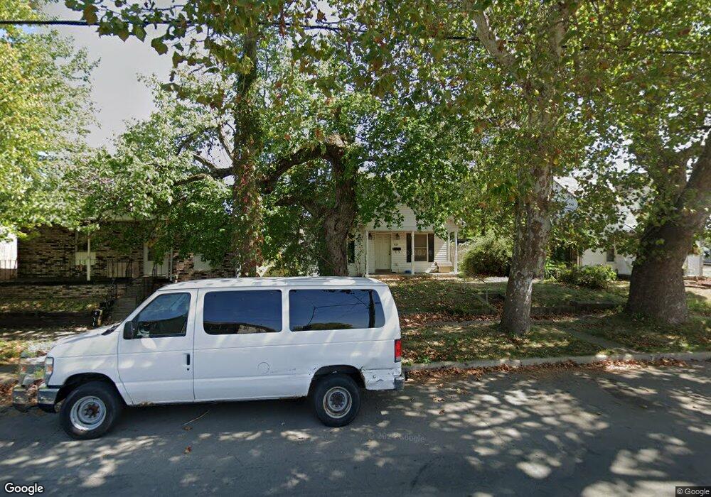
420 S Maple St Lancaster, OH 43130
Estimated Value: $169,000 - $216,000
2
Beds
1
Bath
952
Sq Ft
$198/Sq Ft
Est. Value
About This Home
This home is located at 420 S Maple St, Lancaster, OH 43130 and is currently estimated at $188,742, approximately $198 per square foot. 420 S Maple St is a home located in Fairfield County with nearby schools including Thomas Ewing Junior High School, Lancaster High School, and St Mary Elementary School.
Ownership History
Date
Name
Owned For
Owner Type
Purchase Details
Closed on
Jul 17, 2009
Sold by
Filiatrault Nora and Filiatrault Paul
Bought by
Filiatrault Paul L
Current Estimated Value
Purchase Details
Closed on
Dec 14, 2007
Sold by
Filiatrault Nora
Bought by
Filiatrault Paul L
Purchase Details
Closed on
Dec 7, 2007
Sold by
Estate Of John T Cave
Bought by
Filiatrault Nora
Purchase Details
Closed on
Jul 1, 1994
Sold by
Cave John T
Bought by
Nora H Filiatrault
Create a Home Valuation Report for This Property
The Home Valuation Report is an in-depth analysis detailing your home's value as well as a comparison with similar homes in the area
Home Values in the Area
Average Home Value in this Area
Purchase History
| Date | Buyer | Sale Price | Title Company |
|---|---|---|---|
| Filiatrault Paul L | -- | Attorney | |
| Filiatrault Paul L | -- | Attorney | |
| Filiatrault Nora | -- | None Available | |
| Nora H Filiatrault | $17,000 | -- |
Source: Public Records
Tax History Compared to Growth
Tax History
| Year | Tax Paid | Tax Assessment Tax Assessment Total Assessment is a certain percentage of the fair market value that is determined by local assessors to be the total taxable value of land and additions on the property. | Land | Improvement |
|---|---|---|---|---|
| 2024 | $3,980 | $44,270 | $6,530 | $37,740 |
| 2023 | $1,645 | $44,270 | $6,530 | $37,740 |
| 2022 | $1,655 | $44,270 | $6,530 | $37,740 |
| 2021 | $1,455 | $36,490 | $6,530 | $29,960 |
| 2020 | $1,396 | $36,490 | $6,530 | $29,960 |
| 2019 | $1,329 | $36,490 | $6,530 | $29,960 |
| 2018 | $1,157 | $31,560 | $6,530 | $25,030 |
| 2017 | $1,158 | $30,170 | $6,530 | $23,640 |
| 2016 | $1,128 | $30,170 | $6,530 | $23,640 |
| 2015 | $1,121 | $29,090 | $6,530 | $22,560 |
| 2014 | $1,069 | $29,090 | $6,530 | $22,560 |
| 2013 | $1,069 | $29,090 | $6,530 | $22,560 |
Source: Public Records
Map
Nearby Homes
- 441 E Locust St
- 571 E Chestnut St
- 545 E Main St
- 534 E Wheeling St
- 154 E Main St
- 629 E Wheeling St
- 608 E Mulberry St
- 1021 Sugar Grove Rd SE
- 810 4th St
- 1035 Sugar Grove Rd SE
- 115 E Wheeling St
- 1046 Sugar Grove Rd SE
- 846 E Main St
- 0 N Columbus St
- 233 Lewis Ave
- 538 E 6th Ave
- 404 E 6th Ave
- 1106 E Walnut St
- 405 N Broad St
- 0 N Memorial Dr
- 414 S Maple St
- 422 S Maple St
- 410 S Maple St
- 426 S Maple St
- 404 S Maple St
- 519 Lawrence St
- 417 Wheat St
- 400 S Maple St
- 512 E Locust St
- 516 E Locust St
- 425 Wheat St
- 522 E Locust St
- 411 S Maple St
- 529 Lawrence St
- 401 S Maple St
- 413 Wheat St
- 330 S Maple St
- 528 E Locust St
- 446 E Locust St
- 328 S Maple St