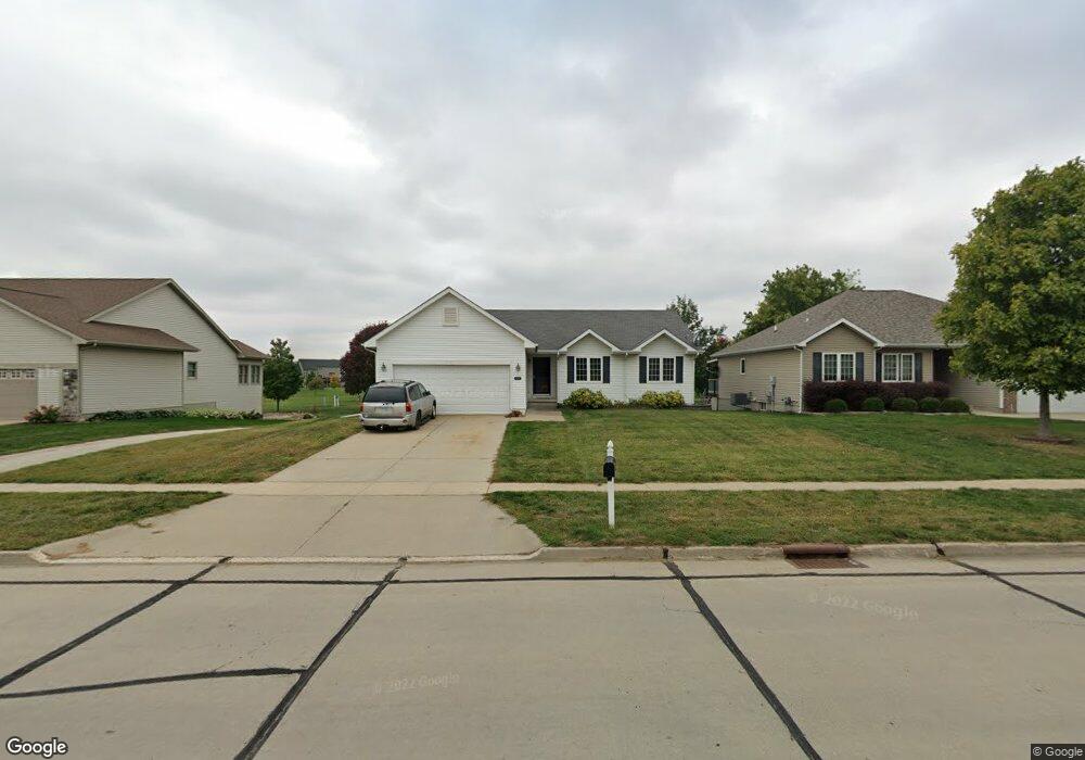
4204 124th St Urbandale, IA 50323
Estimated Value: $349,119 - $364,000
3
Beds
2
Baths
1,440
Sq Ft
$246/Sq Ft
Est. Value
About This Home
This home is located at 4204 124th St, Urbandale, IA 50323 and is currently estimated at $354,780, approximately $246 per square foot. 4204 124th St is a home located in Polk County with nearby schools including Webster Elementary School, Urbandale Middle School, and Urbandale High School.
Ownership History
Date
Name
Owned For
Owner Type
Purchase Details
Closed on
Jun 10, 2005
Sold by
Hubbell Homes Lc
Bought by
Short Robert A
Current Estimated Value
Home Financials for this Owner
Home Financials are based on the most recent Mortgage that was taken out on this home.
Original Mortgage
$155,900
Outstanding Balance
$81,653
Interest Rate
5.91%
Mortgage Type
Fannie Mae Freddie Mac
Estimated Equity
$273,128
Create a Home Valuation Report for This Property
The Home Valuation Report is an in-depth analysis detailing your home's value as well as a comparison with similar homes in the area
Home Values in the Area
Average Home Value in this Area
Purchase History
| Date | Buyer | Sale Price | Title Company |
|---|---|---|---|
| Short Robert A | $194,500 | -- |
Source: Public Records
Mortgage History
| Date | Status | Borrower | Loan Amount |
|---|---|---|---|
| Open | Short Robert A | $155,900 |
Source: Public Records
Tax History Compared to Growth
Tax History
| Year | Tax Paid | Tax Assessment Tax Assessment Total Assessment is a certain percentage of the fair market value that is determined by local assessors to be the total taxable value of land and additions on the property. | Land | Improvement |
|---|---|---|---|---|
| 2025 | $5,454 | $329,700 | $68,600 | $261,100 |
| 2024 | $5,454 | $320,200 | $65,800 | $254,400 |
| 2023 | $5,150 | $320,200 | $65,800 | $254,400 |
| 2022 | $5,088 | $252,300 | $53,600 | $198,700 |
| 2021 | $5,012 | $252,300 | $53,600 | $198,700 |
| 2020 | $4,922 | $236,200 | $50,000 | $186,200 |
| 2019 | $4,972 | $236,200 | $50,000 | $186,200 |
| 2018 | $4,792 | $224,700 | $46,000 | $178,700 |
| 2017 | $4,470 | $224,700 | $46,000 | $178,700 |
| 2016 | $4,360 | $206,400 | $41,900 | $164,500 |
| 2015 | $4,360 | $206,400 | $41,900 | $164,500 |
| 2014 | $3,970 | $194,500 | $38,900 | $155,600 |
Source: Public Records
Map
Nearby Homes
- 12335 Tanglewood Dr
- 4143 122nd St
- 4412 125th St
- 12510 Prairie Dr
- 3935 122nd St
- 12515 Airline Ave
- 12527 Airline Ave
- 4016 127th St
- 4309 129th St
- 12220 Horton Ave
- 12912 Hammontree Dr
- 12723 Sunflower Dr
- 12202 Madison Ave
- 14311 Catalpa Dr
- 14212 Catalpa Dr
- 14216 Catalpa Dr
- 13114 Iltis Dr
- 15217 Springbrook Trail
- 15015 Springbrook Trail
- 15019 Springbrook Trail
- 4208 124th St
- 4212 124th St
- 4134 124th St
- 12327 Valdez Dr
- 4218 124th St
- 12326 Valdez Dr
- 4128 124th St
- 12321 Valdez Dr
- 12340 Tanglewood Dr
- 12320 Valdez Dr
- 12315 Valdez Dr
- 12336 Tanglewood Dr
- 12314 Valdez Dr
- 4219 125th St
- 4215 125th St
- 12321 Winston Ave
- 4300 124th St
- 12332 Tanglewood Dr
- 4120 124th St
- 12309 Valdez Dr