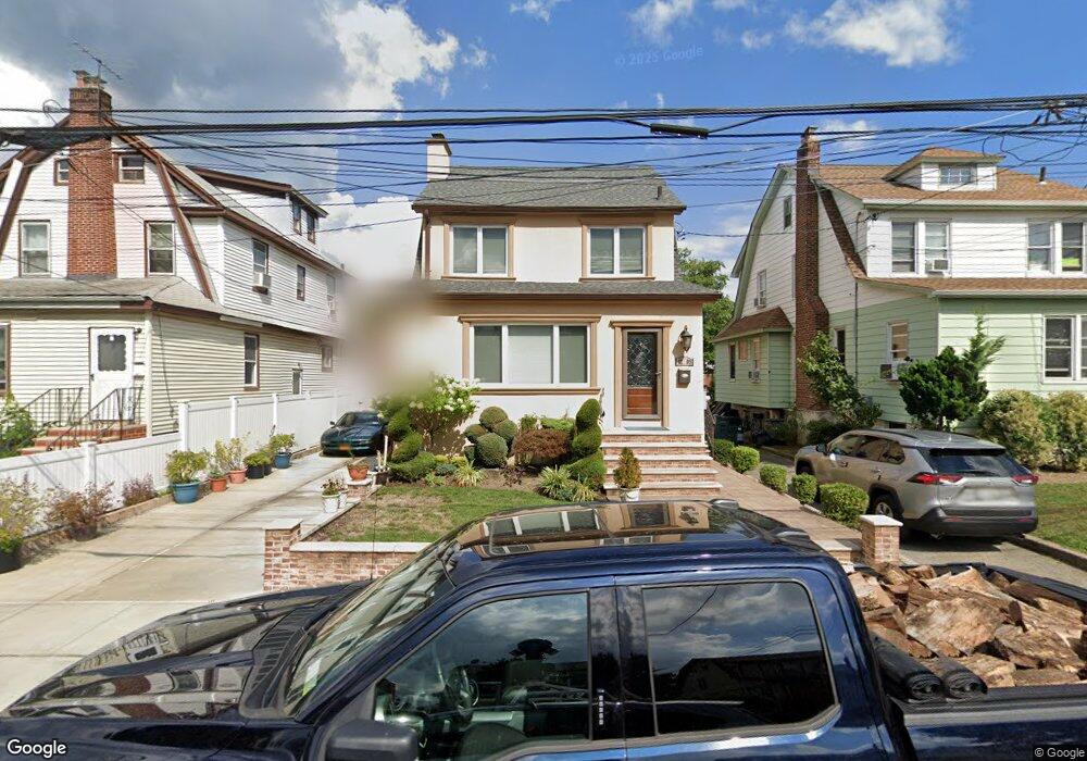
4205 191st St Flushing, NY 11358
Auburndale NeighborhoodEstimated Value: $1,085,000 - $1,229,000
Studio
--
Bath
1,810
Sq Ft
$651/Sq Ft
Est. Value
About This Home
This home is located at 4205 191st St, Flushing, NY 11358 and is currently estimated at $1,178,069, approximately $650 per square foot. 4205 191st St is a home located in Queens County with nearby schools including P.S. 31 - Bayside, I.S. 25 Adrien Block, and Francis Lewis High School.
Ownership History
Date
Name
Owned For
Owner Type
Purchase Details
Closed on
Oct 22, 2021
Sold by
Marcou Militsa and Markou Militsa
Bought by
Markou Costas Nikos
Current Estimated Value
Purchase Details
Closed on
May 8, 1998
Sold by
Markou Militsa
Bought by
Markou Militsa
Create a Home Valuation Report for This Property
The Home Valuation Report is an in-depth analysis detailing your home's value as well as a comparison with similar homes in the area
Home Values in the Area
Average Home Value in this Area
Purchase History
| Date | Buyer | Sale Price | Title Company |
|---|---|---|---|
| Markou Costas Nikos | -- | -- | |
| Markou Costas Nikos | -- | -- | |
| Markou Costas Nikos | -- | -- | |
| Markou Militsa | -- | First American Title Ins Co | |
| Markou Militsa | -- | First American Title Ins Co |
Source: Public Records
Tax History
| Year | Tax Paid | Tax Assessment Tax Assessment Total Assessment is a certain percentage of the fair market value that is determined by local assessors to be the total taxable value of land and additions on the property. | Land | Improvement |
|---|---|---|---|---|
| 2025 | $9,208 | $47,774 | $13,692 | $34,082 |
| 2024 | $9,208 | $45,847 | $14,885 | $30,962 |
| 2023 | $8,784 | $43,254 | $13,427 | $29,827 |
| 2022 | $8,144 | $66,000 | $19,500 | $46,500 |
| 2021 | $3,635 | $66,000 | $19,500 | $46,500 |
| 2020 | $3,555 | $64,740 | $19,500 | $45,240 |
| 2019 | $1,333 | $63,300 | $19,500 | $43,800 |
| 2018 | $6,689 | $36,045 | $12,040 | $24,005 |
| 2017 | $6,286 | $34,006 | $12,172 | $21,834 |
| 2016 | $2,778 | $34,006 | $12,172 | $21,834 |
| 2015 | $1,496 | $33,177 | $15,575 | $17,602 |
| 2014 | $1,496 | $31,839 | $16,682 | $15,157 |
Source: Public Records
Map
Nearby Homes
- 190-17 42nd Ave
- 42-25 189th St
- 42-28 189th St
- 4048 194th St Unit A3
- 19112 Station Rd
- 40-38 194th St Unit 1A
- 4038 194th St Unit 3B
- 188-02 Northern Blvd
- 4032 195th St
- 191-02 39th Ave
- 193-02 39th Ave Unit 1
- 191-9 39th Ave Unit 164
- 190-05 39th Ave Unit 142
- 194-23 Station Rd
- 189-23 39th Ave Unit 122
- 43-44 195th St
- 36-20 190th St
- 45 24 171st St
- 195-33 39th Ave
- 4539 192nd St
- 42-05 191st St Unit 2nd Fl
- 4209 191st St
- 4203 191st St
- 42-09 191st St Unit 1st Fl
- 42-09 191st St Unit 2
- 19112 42nd Ave
- 4213 191st St
- 42-13 191st St Unit 2
- 19114 42nd Ave
- 4219 191st St
- 42-06 192nd St
- 4202 192nd St
- 42-04 192nd St
- 4204 192nd St Unit 1Fl
- 4218 192nd St
- 42-02 191st St
- 42-02 192nd St
- 4221 191st St
- 42-21 191st St
- 4208 191st St
Your Personal Tour Guide
Ask me questions while you tour the home.