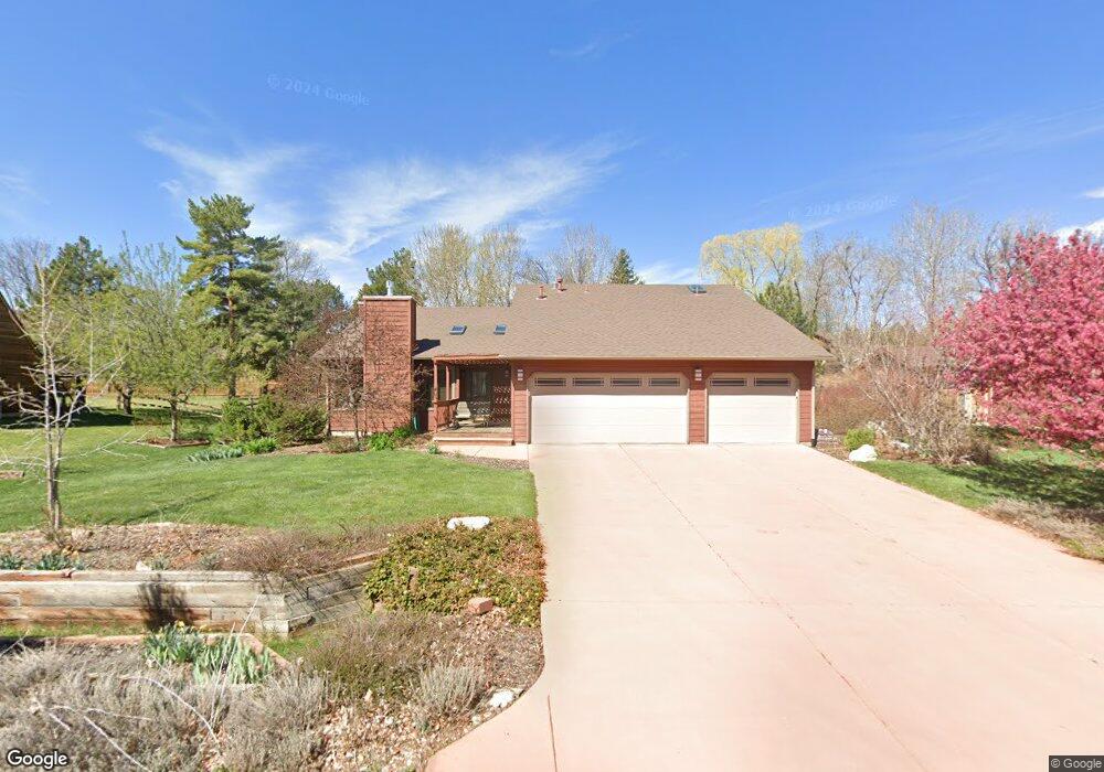
4205 Trowbridge Dr Fort Collins, CO 80526
Estimated Value: $743,034 - $878,000
4
Beds
3
Baths
2,390
Sq Ft
$345/Sq Ft
Est. Value
About This Home
This home is located at 4205 Trowbridge Dr, Fort Collins, CO 80526 and is currently estimated at $823,759, approximately $344 per square foot. 4205 Trowbridge Dr is a home located in Larimer County with nearby schools including McGraw Elementary School, Webber Middle School, and Rocky Mountain High School.
Ownership History
Date
Name
Owned For
Owner Type
Purchase Details
Closed on
Dec 27, 2000
Sold by
Cornell David E and Cornell Babette Q
Bought by
David E Cornell Trust
Current Estimated Value
Purchase Details
Closed on
Apr 11, 2000
Sold by
Kitchell Steven A Kathleen Clark
Bought by
Cornell David E and Cornell Babette Q
Home Financials for this Owner
Home Financials are based on the most recent Mortgage that was taken out on this home.
Original Mortgage
$72,000
Interest Rate
8.33%
Purchase Details
Closed on
May 1, 1990
Bought by
Kitchell Steven A
Create a Home Valuation Report for This Property
The Home Valuation Report is an in-depth analysis detailing your home's value as well as a comparison with similar homes in the area
Home Values in the Area
Average Home Value in this Area
Purchase History
| Date | Buyer | Sale Price | Title Company |
|---|---|---|---|
| David E Cornell Trust | -- | -- | |
| Cornell David E | $264,900 | -- | |
| Kitchell Steven A | $139,000 | -- |
Source: Public Records
Mortgage History
| Date | Status | Borrower | Loan Amount |
|---|---|---|---|
| Closed | Cornell David E | $72,000 |
Source: Public Records
Tax History Compared to Growth
Tax History
| Year | Tax Paid | Tax Assessment Tax Assessment Total Assessment is a certain percentage of the fair market value that is determined by local assessors to be the total taxable value of land and additions on the property. | Land | Improvement |
|---|---|---|---|---|
| 2025 | $4,494 | $49,091 | $6,030 | $43,061 |
| 2024 | $4,285 | $49,091 | $6,030 | $43,061 |
| 2022 | $3,477 | $35,681 | $6,255 | $29,426 |
| 2021 | $3,509 | $36,708 | $6,435 | $30,273 |
| 2020 | $3,515 | $36,458 | $6,435 | $30,023 |
| 2019 | $3,529 | $36,458 | $6,435 | $30,023 |
| 2018 | $3,195 | $34,013 | $6,480 | $27,533 |
| 2017 | $3,185 | $34,013 | $6,480 | $27,533 |
| 2016 | $2,919 | $31,020 | $7,164 | $23,856 |
| 2015 | $2,898 | $31,020 | $7,160 | $23,860 |
| 2014 | $2,734 | $29,080 | $5,410 | $23,670 |
Source: Public Records
Map
Nearby Homes
- 2409 Denby Ct
- 2300 W County Road 38 E Unit 130
- 2300 W County Road 38 E Unit 16
- 2300 W County Road 38 E Unit 203
- 2300 W County Road 38 E Unit 94
- 2213 Grosvenor Ct
- 1938 Silvergate Rd
- 2508 Doolittle Ct
- 1808 Silvergate Rd
- 3717 S Taft Hill Rd
- 3717 S Taft Hill Rd Unit 168
- 3717 S Taft Hill Rd Unit 14
- 3717 S Taft Hill Rd Unit 279
- 3717 S Taft Hill Rd Unit 111
- 3712 Mead St
- 2846 Wild Rose Way
- 1736 Rolling Gate Rd
- 2415 Dalton Dr
- 1802 Prairie Ridge Dr
- 4609 Dusty Sage Dr Unit 3
- 4201 Trowbridge Dr
- 4209 Trowbridge Dr
- 2401 Vajobi Ct
- 2400 Vajobi Ct
- 4208 Trowbridge Dr
- 4216 Picadilly Dr
- 4115 Trowbridge Dr
- 4213 Trowbridge Dr
- 4208 Picadilly Dr
- 4204 Trowbridge Dr
- 4212 Trowbridge Dr
- 4220 Picadilly Dr
- 2404 Vajobi Ct
- 4116 Trowbridge Dr
- 4204 Picadilly Dr
- 2212 Brixton Rd
- 4109 Trowbridge Dr
- 2305 Idledale Dr
- 2408 Vajobi Ct
- 4112 Trowbridge Dr