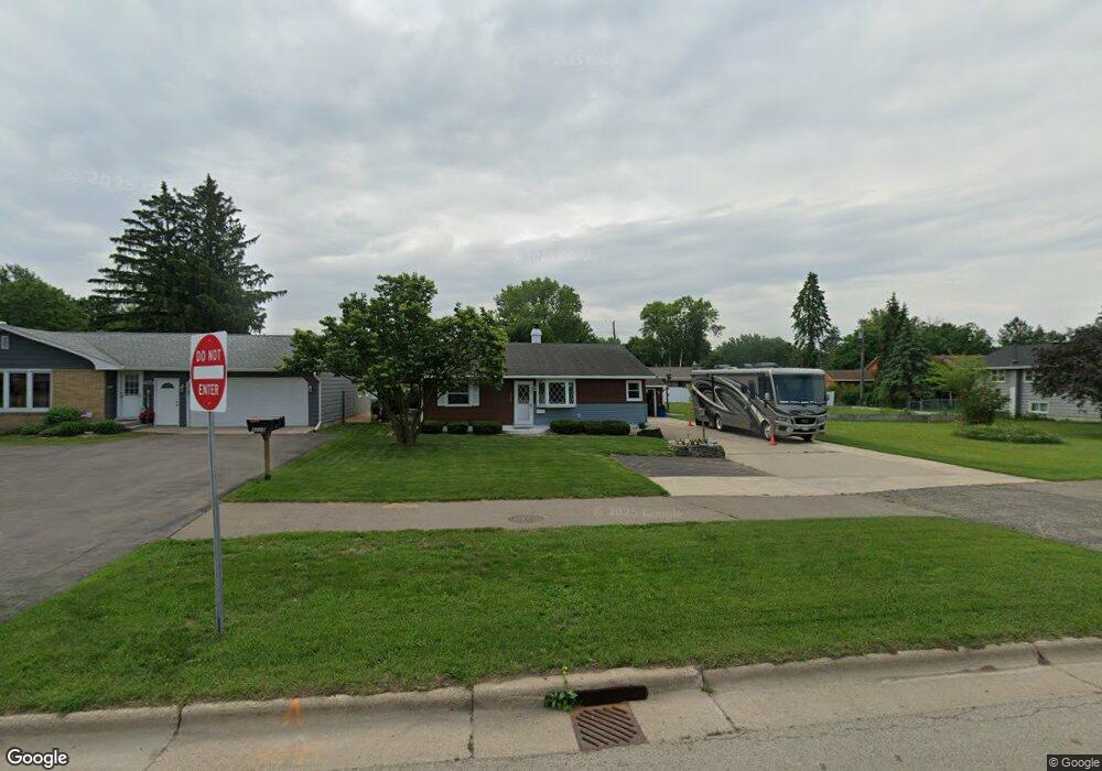
4209 Highway 61 W Red Wing, MN 55066
Estimated Value: $238,980 - $286,000
2
Beds
2
Baths
1,224
Sq Ft
$213/Sq Ft
Est. Value
About This Home
This home is located at 4209 Highway 61 W, Red Wing, MN 55066 and is currently estimated at $260,245, approximately $212 per square foot. 4209 Highway 61 W is a home located in Goodhue County with nearby schools including Burnside Elementary School, Sunnyside Elementary School, and Twin Bluff Middle School.
Ownership History
Date
Name
Owned For
Owner Type
Purchase Details
Closed on
Mar 18, 2009
Sold by
Tomhave Suzanne
Bought by
Heitman Douglas and Heitman Tye
Current Estimated Value
Create a Home Valuation Report for This Property
The Home Valuation Report is an in-depth analysis detailing your home's value as well as a comparison with similar homes in the area
Home Values in the Area
Average Home Value in this Area
Purchase History
| Date | Buyer | Sale Price | Title Company |
|---|---|---|---|
| Heitman Douglas | $115,000 | -- |
Source: Public Records
Tax History Compared to Growth
Tax History
| Year | Tax Paid | Tax Assessment Tax Assessment Total Assessment is a certain percentage of the fair market value that is determined by local assessors to be the total taxable value of land and additions on the property. | Land | Improvement |
|---|---|---|---|---|
| 2025 | $2,222 | $192,000 | $35,900 | $156,100 |
| 2024 | -- | $189,700 | $35,900 | $153,800 |
| 2023 | $2,184 | $180,200 | $35,900 | $144,300 |
| 2022 | $2,020 | $179,000 | $35,900 | $143,100 |
| 2021 | $1,880 | $154,800 | $35,900 | $118,900 |
| 2020 | $1,866 | $147,300 | $35,900 | $111,400 |
| 2019 | $1,854 | $138,200 | $35,900 | $102,300 |
| 2018 | $1,460 | $138,800 | $34,400 | $104,400 |
| 2017 | $1,452 | $122,200 | $34,400 | $87,800 |
| 2016 | $1,340 | $122,800 | $34,400 | $88,400 |
| 2015 | $1,280 | $119,700 | $34,400 | $85,300 |
| 2014 | -- | $115,000 | $34,400 | $80,600 |
Source: Public Records
Map
Nearby Homes
- 168 Johnson Ave
- 132 Motel Ave
- 237 Motel Ave
- 240 Motel Ave
- 232 Fern Ave
- 4336 Lookout Ln
- 135 Kingswood Dr
- 980 Aurora Cir
- 936 Aurora Cir
- 853 Aurora Cir
- 808 Aurora Cir
- 912 Aurora Cir
- 3560 Graves Dr
- 4739 Big Sky Ct
- 4786 Mount Hood Ln
- 906 Snowbird Dr
- 921 Snowbird Dr
- 910 Snowbird Dr
- 914 Snowbird Dr
- 4958 Chalet Ct
- 4173 Highway 61 W
- 127 Motel Ave
- 4204 Raymond St
- 4212 Raymond St
- 4157 Highway 61 W
- 4154 Raymond St
- 4222 Raymond St
- 4149 Highway 61 W
- 101 Finrud Ave
- 4146 Raymond St
- 119 Cannon View Dr
- 4143 Highway 61 W
- 107 Cannon View Dr
- 4209 Raymond St
- 109 Finrud Ave
- 4203 Raymond St
- 4219 Raymond St
- 4136 Raymond St
- 4153 Raymond St
- 4225 Raymond St