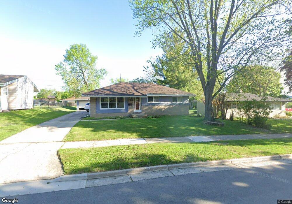
421 Debbie Dr Waukesha, WI 53189
Estimated Value: $305,000 - $346,000
3
Beds
2
Baths
1,127
Sq Ft
$290/Sq Ft
Est. Value
About This Home
This home is located at 421 Debbie Dr, Waukesha, WI 53189 and is currently estimated at $326,398, approximately $289 per square foot. 421 Debbie Dr is a home located in Waukesha County with nearby schools including Waukesha STEM Academy, Horning Middle School, and South High School.
Ownership History
Date
Name
Owned For
Owner Type
Purchase Details
Closed on
Jun 17, 2013
Sold by
Miller Christine C
Bought by
Sida Genaro and Sida Olivia
Current Estimated Value
Home Financials for this Owner
Home Financials are based on the most recent Mortgage that was taken out on this home.
Original Mortgage
$131,000
Outstanding Balance
$93,310
Interest Rate
3.52%
Mortgage Type
New Conventional
Estimated Equity
$233,088
Purchase Details
Closed on
Sep 29, 2000
Sold by
Sanders August L and Sanders Emily H
Bought by
Scharf David A and Miller Christine C
Home Financials for this Owner
Home Financials are based on the most recent Mortgage that was taken out on this home.
Original Mortgage
$49,000
Interest Rate
8.03%
Purchase Details
Closed on
Mar 25, 1999
Sold by
Sanders August L and Sanders Emily H
Bought by
Sanders August L and Sanders Emily H
Create a Home Valuation Report for This Property
The Home Valuation Report is an in-depth analysis detailing your home's value as well as a comparison with similar homes in the area
Home Values in the Area
Average Home Value in this Area
Purchase History
| Date | Buyer | Sale Price | Title Company |
|---|---|---|---|
| Sida Genaro | $141,000 | None Available | |
| Scharf David A | $129,000 | -- | |
| Sanders August L | -- | -- |
Source: Public Records
Mortgage History
| Date | Status | Borrower | Loan Amount |
|---|---|---|---|
| Open | Sida Genaro | $131,000 | |
| Previous Owner | Scharf David A | $49,000 |
Source: Public Records
Tax History Compared to Growth
Tax History
| Year | Tax Paid | Tax Assessment Tax Assessment Total Assessment is a certain percentage of the fair market value that is determined by local assessors to be the total taxable value of land and additions on the property. | Land | Improvement |
|---|---|---|---|---|
| 2024 | $4,013 | $273,000 | $51,800 | $221,200 |
| 2023 | $3,895 | $273,000 | $51,800 | $221,200 |
| 2022 | $3,333 | $176,900 | $53,900 | $123,000 |
| 2021 | $3,403 | $176,900 | $53,900 | $123,000 |
| 2020 | $3,301 | $176,900 | $53,900 | $123,000 |
| 2019 | $3,191 | $176,900 | $53,900 | $123,000 |
| 2018 | $2,933 | $159,400 | $47,900 | $111,500 |
| 2017 | $2,934 | $159,400 | $47,900 | $111,500 |
| 2016 | $3,039 | $154,800 | $47,900 | $106,900 |
| 2015 | $3,023 | $154,800 | $47,900 | $106,900 |
| 2014 | $3,058 | $150,300 | $47,900 | $102,400 |
| 2013 | $3,058 | $150,300 | $47,900 | $102,400 |
Source: Public Records
Map
Nearby Homes
- 1522 Big Bend Rd Unit G
- 1936 Cliff Alex Ct N
- 1715 Center Rd
- 1432 Big Bend Rd Unit E
- 414 Standing Stone Dr Unit 8-16
- 421 Standing Stone Dr Unit 17-39
- 424 Standing Stone Dr Unit 9-17
- 1804 Hemit Ave
- 455 Standing Stone Dr
- 2004 Smart Ct
- 2005 Smart Ct
- 435 Standing Stone Dr Unit 16-37
- 605 Standing Stone Dr
- 609 Standing Stone Dr
- 625 Standing Stone Dr
- 613 Standing Stone Dr
- 621 Standing Stone Dr
- 633 Standing Stone Dr
- 1438 Tenny Ave Unit 101
- The Sequoia Plan at Aspen Overlook