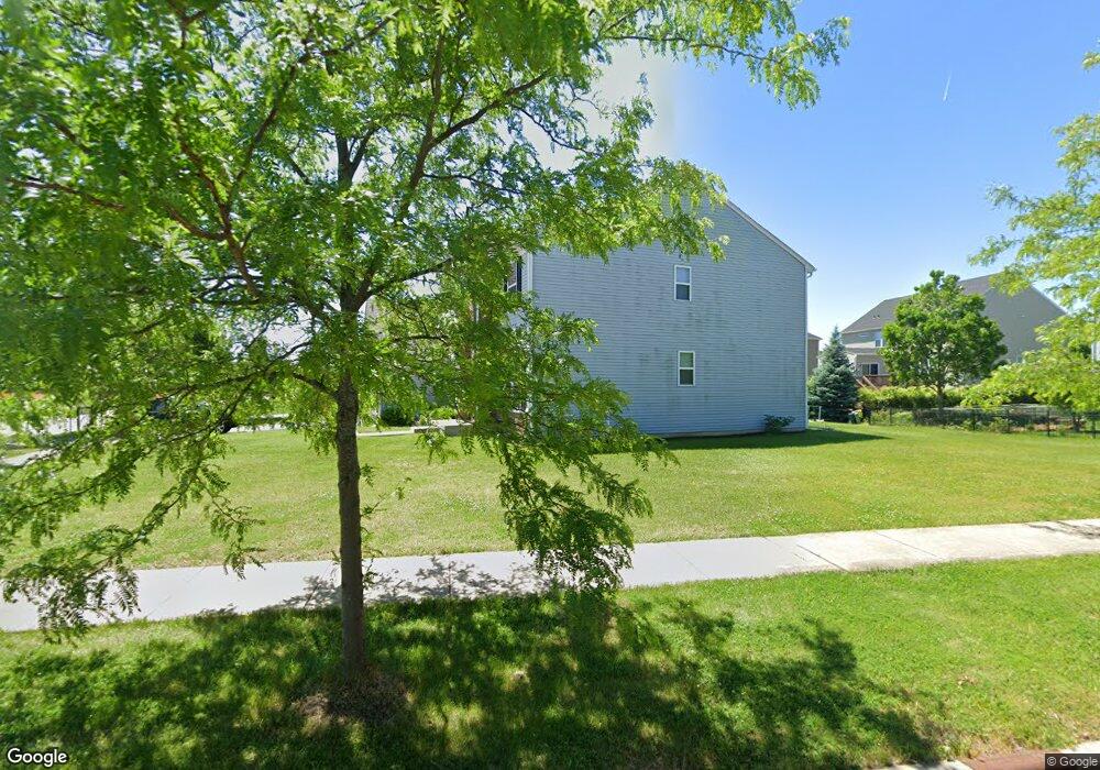
421 Devoe Dr Oswego, IL 60543
North Oswego NeighborhoodEstimated Value: $533,380 - $592,000
4
Beds
3
Baths
3,111
Sq Ft
$180/Sq Ft
Est. Value
About This Home
This home is located at 421 Devoe Dr, Oswego, IL 60543 and is currently estimated at $559,595, approximately $179 per square foot. 421 Devoe Dr is a home with nearby schools including Southbury Elementary School, Murphy Junior High School, and Oswego East High School.
Ownership History
Date
Name
Owned For
Owner Type
Purchase Details
Closed on
Jul 30, 2012
Sold by
Pulte Home Corporation
Bought by
Lim Edward T and Lim Ruby R
Current Estimated Value
Home Financials for this Owner
Home Financials are based on the most recent Mortgage that was taken out on this home.
Original Mortgage
$290,496
Outstanding Balance
$201,997
Interest Rate
3.75%
Mortgage Type
FHA
Estimated Equity
$357,598
Purchase Details
Closed on
Jul 1, 2012
Bought by
Lim Edward T and Lim Ruby R
Home Financials for this Owner
Home Financials are based on the most recent Mortgage that was taken out on this home.
Original Mortgage
$290,496
Outstanding Balance
$201,997
Interest Rate
3.75%
Mortgage Type
FHA
Estimated Equity
$357,598
Create a Home Valuation Report for This Property
The Home Valuation Report is an in-depth analysis detailing your home's value as well as a comparison with similar homes in the area
Home Values in the Area
Average Home Value in this Area
Purchase History
| Date | Buyer | Sale Price | Title Company |
|---|---|---|---|
| Lim Edward T | $313,000 | None Available | |
| Lim Edward T | $312,600 | -- |
Source: Public Records
Mortgage History
| Date | Status | Borrower | Loan Amount |
|---|---|---|---|
| Open | Lim Edward T | $290,496 | |
| Closed | Lim Edward T | -- |
Source: Public Records
Tax History
| Year | Tax Paid | Tax Assessment Tax Assessment Total Assessment is a certain percentage of the fair market value that is determined by local assessors to be the total taxable value of land and additions on the property. | Land | Improvement |
|---|---|---|---|---|
| 2024 | $11,996 | $155,068 | $27,124 | $127,944 |
| 2023 | $10,625 | $136,025 | $23,793 | $112,232 |
| 2022 | $10,625 | $123,659 | $21,630 | $102,029 |
| 2021 | $10,564 | $118,903 | $20,798 | $98,105 |
| 2020 | $10,236 | $114,330 | $19,998 | $94,332 |
| 2019 | $9,967 | $109,838 | $19,998 | $89,840 |
| 2018 | $10,741 | $112,946 | $26,928 | $86,018 |
| 2017 | $10,792 | $111,277 | $26,530 | $84,747 |
| 2016 | $10,613 | $108,036 | $25,757 | $82,279 |
| 2015 | $10,360 | $100,968 | $24,072 | $76,896 |
| 2014 | -- | $97,084 | $23,146 | $73,938 |
| 2013 | -- | $98,065 | $23,380 | $74,685 |
Source: Public Records
Map
Nearby Homes
- 240 Devoe Dr
- 102 Devoe Dr Unit 465
- 605 Murdock Place
- 241 Cooney Way
- 353 Danforth Dr
- 714 Erwin St
- 234 Cooney Way
- 393 Danforth Dr
- 601 Murdock Place
- 391 Danforth Dr
- 602 Murdock Place
- 339 Danforth Dr
- 464 Valentine Way
- 460 Valentine Way
- 490 Treasure Dr Unit 3
- 115 Henderson St
- 375 Danforth Dr
- 377 Danforth Dr
- 379 Danforth Dr
- 385 Danforth Dr
- 423 Devoe Dr
- 240 Bennett Ct S
- 425 Devoe Dr
- 236 Bennett Ct S
- 238 Bennett Ct S
- 413 Devoe Dr
- 200 Bennett Ct N
- 234 Bennett Ct S
- 427 Devoe Dr
- 411 Devoe Dr
- 202 Bennett Ct N
- 429 Devoe Dr
- 221 Bennett Ct S
- 219 Bennett Ct S
- 232 Bennett Ct S
- 223 Bennett Ct S
- 409 Devoe Dr
- 217 Bennett Ct N
- 204 Bennett Ct N
- 225 Bennett Ct S
Your Personal Tour Guide
Ask me questions while you tour the home.