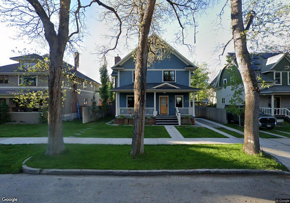
421 W Koch St Bozeman, MT 59715
Cooper Park NeighborhoodEstimated Value: $1,289,000 - $1,537,000
5
Beds
3
Baths
5,288
Sq Ft
$271/Sq Ft
Est. Value
About This Home
This home is located at 421 W Koch St, Bozeman, MT 59715 and is currently estimated at $1,431,674, approximately $270 per square foot. 421 W Koch St is a home located in Gallatin County with nearby schools including Irving Elementary School, Van Cortlandtville School, and Thomas Jefferson Elementary School.
Ownership History
Date
Name
Owned For
Owner Type
Purchase Details
Closed on
Nov 24, 2020
Sold by
Serino Peter N and Serino Angela R
Bought by
Barrett Jeffrey M and Barrett Erin C
Current Estimated Value
Home Financials for this Owner
Home Financials are based on the most recent Mortgage that was taken out on this home.
Original Mortgage
$650,000
Outstanding Balance
$579,726
Interest Rate
2.8%
Mortgage Type
New Conventional
Estimated Equity
$851,948
Purchase Details
Closed on
Oct 19, 2020
Sold by
Serino Peter N
Bought by
Serino Peter N and Serino Angela R
Home Financials for this Owner
Home Financials are based on the most recent Mortgage that was taken out on this home.
Original Mortgage
$650,000
Outstanding Balance
$579,726
Interest Rate
2.8%
Mortgage Type
New Conventional
Estimated Equity
$851,948
Create a Home Valuation Report for This Property
The Home Valuation Report is an in-depth analysis detailing your home's value as well as a comparison with similar homes in the area
Home Values in the Area
Average Home Value in this Area
Purchase History
| Date | Buyer | Sale Price | Title Company |
|---|---|---|---|
| Barrett Jeffrey M | -- | American Land Title Company | |
| Serino Peter N | -- | None Available |
Source: Public Records
Mortgage History
| Date | Status | Borrower | Loan Amount |
|---|---|---|---|
| Open | Barrett Jeffrey M | $650,000 |
Source: Public Records
Tax History Compared to Growth
Tax History
| Year | Tax Paid | Tax Assessment Tax Assessment Total Assessment is a certain percentage of the fair market value that is determined by local assessors to be the total taxable value of land and additions on the property. | Land | Improvement |
|---|---|---|---|---|
| 2025 | $5,862 | $1,177,900 | $0 | $0 |
| 2024 | $8,409 | $1,263,200 | $0 | $0 |
| 2023 | $8,121 | $1,263,200 | $0 | $0 |
| 2022 | $5,240 | $683,344 | $0 | $0 |
| 2021 | $5,782 | $683,344 | $0 | $0 |
| 2020 | $4,988 | $585,000 | $0 | $0 |
| 2019 | $5,103 | $585,000 | $0 | $0 |
| 2018 | $4,288 | $455,400 | $0 | $0 |
| 2017 | $4,008 | $455,400 | $0 | $0 |
| 2016 | $3,835 | $407,140 | $0 | $0 |
| 2015 | $3,839 | $407,140 | $0 | $0 |
| 2014 | $4,541 | $283,602 | $0 | $0 |
Source: Public Records
Map
Nearby Homes
- 516 W Olive St
- 425 W Olive St
- 401 S Grand Ave
- 418 W Babcock St
- 414 W Babcock St Unit 2
- 221 S 7th Ave
- 300 W Main St Unit G
- 300 W Main St Unit Q
- 718 W Babcock St Unit 411
- 507 S 8th Ave
- 622 & 624 S 8th
- 37 W Main St Unit A
- 728 S Tracy Ave
- 509 W Cleveland St
- 5 Francham Trail
- 5 W Mendenhall St Unit 414
- 5 W Mendenhall St Unit 510
- 5 W Mendenhall St Unit 410
- 5 W Mendenhall St Unit 415
- 911 S Willson Ave