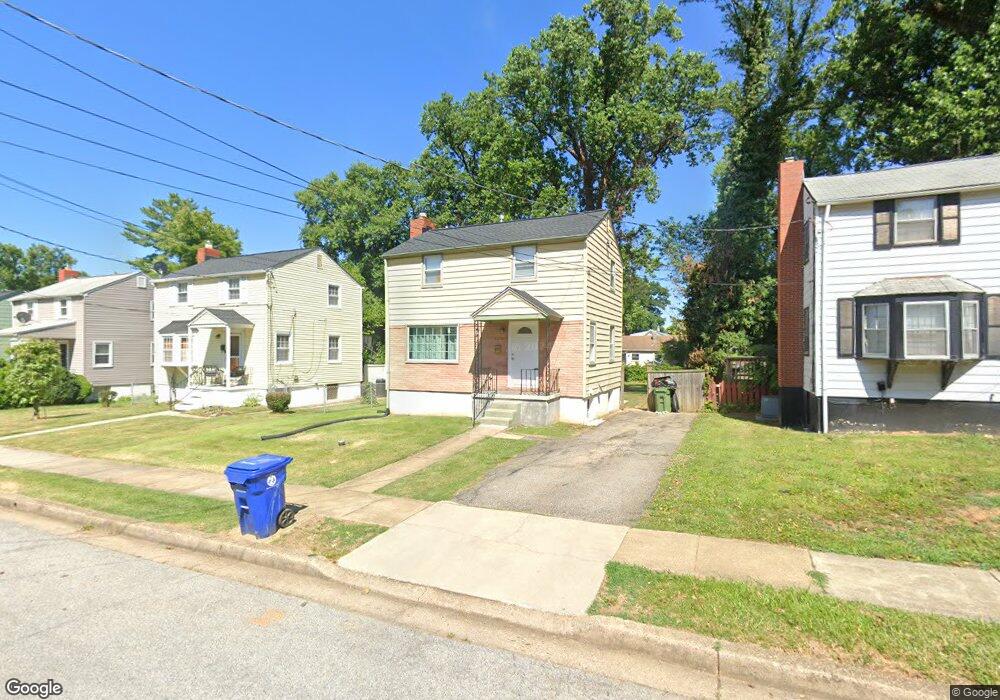
4210 Kenshaw Ave Baltimore, MD 21215
Reisterstown Station NeighborhoodEstimated Value: $161,424 - $198,000
--
Bed
1
Bath
912
Sq Ft
$197/Sq Ft
Est. Value
About This Home
This home is located at 4210 Kenshaw Ave, Baltimore, MD 21215 and is currently estimated at $179,712, approximately $197 per square foot. 4210 Kenshaw Ave is a home located in Baltimore City with nearby schools including Cross Country Elementary School, Booker T. Washington Middle School, and Forest Park High School.
Ownership History
Date
Name
Owned For
Owner Type
Purchase Details
Closed on
Oct 25, 2023
Sold by
Knox Antoney and Knox Ryan
Bought by
Caceres Miguel
Current Estimated Value
Purchase Details
Closed on
Oct 3, 2006
Sold by
Knox Huzell
Bought by
Knox Huzell
Purchase Details
Closed on
Jul 24, 2006
Sold by
Knox Huzell
Bought by
Knox Huzell
Create a Home Valuation Report for This Property
The Home Valuation Report is an in-depth analysis detailing your home's value as well as a comparison with similar homes in the area
Home Values in the Area
Average Home Value in this Area
Purchase History
| Date | Buyer | Sale Price | Title Company |
|---|---|---|---|
| Caceres Miguel | $100,000 | None Listed On Document | |
| Caceres Miguel | $100,000 | None Listed On Document | |
| Knox Huzell | -- | -- | |
| Knox Huzell | -- | -- |
Source: Public Records
Tax History Compared to Growth
Tax History
| Year | Tax Paid | Tax Assessment Tax Assessment Total Assessment is a certain percentage of the fair market value that is determined by local assessors to be the total taxable value of land and additions on the property. | Land | Improvement |
|---|---|---|---|---|
| 2025 | $2,330 | $110,567 | -- | -- |
| 2024 | $2,330 | $99,200 | $33,600 | $65,600 |
| 2023 | $2,341 | $99,200 | $33,600 | $65,600 |
| 2022 | $2,159 | $99,200 | $33,600 | $65,600 |
| 2021 | $2,353 | $99,700 | $33,600 | $66,100 |
| 2020 | $2,129 | $99,700 | $33,600 | $66,100 |
| 2019 | $2,033 | $99,700 | $33,600 | $66,100 |
| 2018 | $1,981 | $102,300 | $33,600 | $68,700 |
| 2017 | $1,919 | $97,533 | $0 | $0 |
| 2016 | $1,661 | $92,767 | $0 | $0 |
| 2015 | $1,661 | $88,000 | $0 | $0 |
| 2014 | $1,661 | $88,000 | $0 | $0 |
Source: Public Records
Map
Nearby Homes
- 4108 Fords Ln
- 6509 Parr Ave
- 6203 Hopeton Ave
- 3720 Bartwood Rd
- 6603 Fairmount Ave
- 3737 Clarks Ln
- 3803 Menlo Dr
- 6705 Fairmount Ave
- 6210 Park Heights Ave Unit 700
- 3601 Clarks Ln Unit 424
- 3601 Clarks Ln Unit 506
- 3601 Clarks Ln
- 3601 Clarks Ln
- 3601 Clarks Ln
- 3601 Clarks Ln
- 6606 Park Heights Ave Unit 305
- 6606 Park Heights Ave Unit 905
- 6606 Park Heights Ave Unit 615
- 4011 Mortimer Ave
- 3922 Mortimer Ave
- 4208 Kenshaw Ave
- 4212 Kenshaw Ave
- 4206 Kenshaw Ave
- 4214 Kenshaw Ave
- 4211 Fords Ln
- 4209 Fords Ln
- 4216 Kenshaw Ave
- 4213 Fords Ln
- 4204 Kenshaw Ave
- 4215 Fords Ln
- 4205 Fords Ln
- 4211 Kenshaw Ave
- 4213 Kenshaw Ave
- 4218 Kenshaw Ave
- 4202 Kenshaw Ave
- 4209 Kenshaw Ave
- 4215 Kenshaw Ave
- 4217 Fords Ln
- 4217 Kenshaw Ave
- 4205 Kenshaw Ave