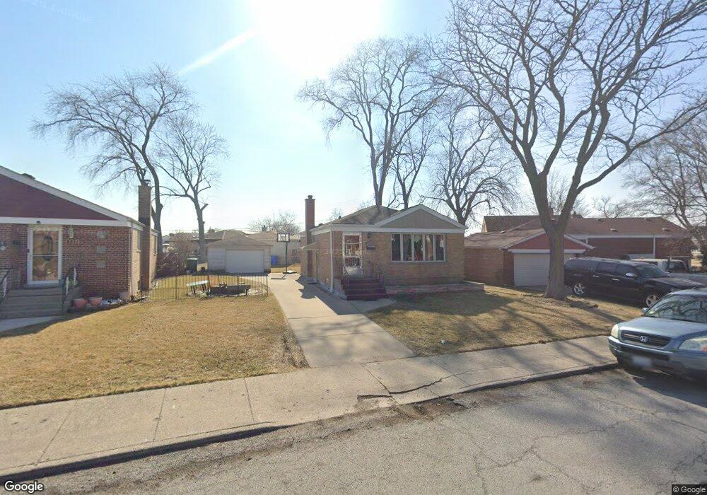
4217 W 81st St Chicago, IL 60652
Scottsdale NeighborhoodEstimated Value: $275,000 - $302,000
2
Beds
2
Baths
888
Sq Ft
$326/Sq Ft
Est. Value
About This Home
This home is located at 4217 W 81st St, Chicago, IL 60652 and is currently estimated at $289,213, approximately $325 per square foot. 4217 W 81st St is a home located in Cook County with nearby schools including Stevenson Elementary School, Bogan Computer Technical High School, and St Bede-Venerable School.
Ownership History
Date
Name
Owned For
Owner Type
Purchase Details
Closed on
Jun 5, 2006
Sold by
Battung Jomel
Bought by
Battung Jomel and Battung Visitacion S
Current Estimated Value
Home Financials for this Owner
Home Financials are based on the most recent Mortgage that was taken out on this home.
Original Mortgage
$182,400
Outstanding Balance
$107,895
Interest Rate
6.68%
Mortgage Type
New Conventional
Estimated Equity
$181,318
Purchase Details
Closed on
May 10, 2004
Sold by
Lorenz Richard J
Bought by
Battung Jomel
Home Financials for this Owner
Home Financials are based on the most recent Mortgage that was taken out on this home.
Original Mortgage
$142,000
Interest Rate
6.85%
Mortgage Type
Unknown
Create a Home Valuation Report for This Property
The Home Valuation Report is an in-depth analysis detailing your home's value as well as a comparison with similar homes in the area
Home Values in the Area
Average Home Value in this Area
Purchase History
| Date | Buyer | Sale Price | Title Company |
|---|---|---|---|
| Battung Jomel | -- | World Title Guaranty Inc | |
| Battung Jomel | $181,000 | Cti |
Source: Public Records
Mortgage History
| Date | Status | Borrower | Loan Amount |
|---|---|---|---|
| Open | Battung Jomel | $182,400 | |
| Closed | Battung Jomel | $142,000 | |
| Closed | Battung Jomel | $39,000 |
Source: Public Records
Tax History Compared to Growth
Tax History
| Year | Tax Paid | Tax Assessment Tax Assessment Total Assessment is a certain percentage of the fair market value that is determined by local assessors to be the total taxable value of land and additions on the property. | Land | Improvement |
|---|---|---|---|---|
| 2024 | $3,121 | $23,000 | $2,848 | $20,152 |
| 2023 | $3,022 | $18,000 | $3,560 | $14,440 |
| 2022 | $3,022 | $18,000 | $3,560 | $14,440 |
| 2021 | $2,973 | $17,999 | $3,560 | $14,439 |
| 2020 | $2,983 | $16,378 | $3,560 | $12,818 |
| 2019 | $3,034 | $18,403 | $3,560 | $14,843 |
| 2018 | $2,982 | $18,403 | $3,560 | $14,843 |
| 2017 | $2,120 | $13,132 | $3,085 | $10,047 |
| 2016 | $2,149 | $13,132 | $3,085 | $10,047 |
| 2015 | $1,944 | $13,132 | $3,085 | $10,047 |
| 2014 | $1,880 | $12,601 | $2,848 | $9,753 |
| 2013 | $1,832 | $12,601 | $2,848 | $9,753 |
Source: Public Records
Map
Nearby Homes
- 8100 S Kildare Ave
- 4263 W 81st St
- 7964 S Tripp Ave
- 4327 W 81st St
- 7917 S Kostner Ave
- 7932 S Pulaski Rd Unit 301
- 3928 W 82nd Place
- 8069 S Kolmar Ave
- 8053 S Kenton Ave
- 7958 S Knox Ave
- 4222 W 77th St Unit 202
- 4222 W 77th St Unit 204
- 4244 W 77th St Unit 102
- 3826 W 83rd St
- 4300 W Ford City Dr Unit A1301
- 8001 S Kilpatrick Ave
- 3853 W 83rd Place
- 3813 W 78th St
- 7817 S Kenton Ave
- 4350 W Ford City Dr Unit B1402
- 4211 W 81st St
- 4225 W 81st St
- 8111 S Kildare Ave
- 4235 W 81st St
- 8115 S Kildare Ave
- 8100 S Tripp Ave
- 8110 S Tripp Ave
- 8114 S Tripp Ave
- 4216 W 81st St
- 4212 W 81st St
- 8117 S Kildare Ave
- 4222 W 81st St
- 8118 S Tripp Ave
- 4206 W 81st St
- 8033 S Tripp Ave
- 8122 S Tripp Ave
- 8108 S Kildare Ave
- 8121 S Kildare Ave
- 4200 W 81st St
- 4232 W 81st St