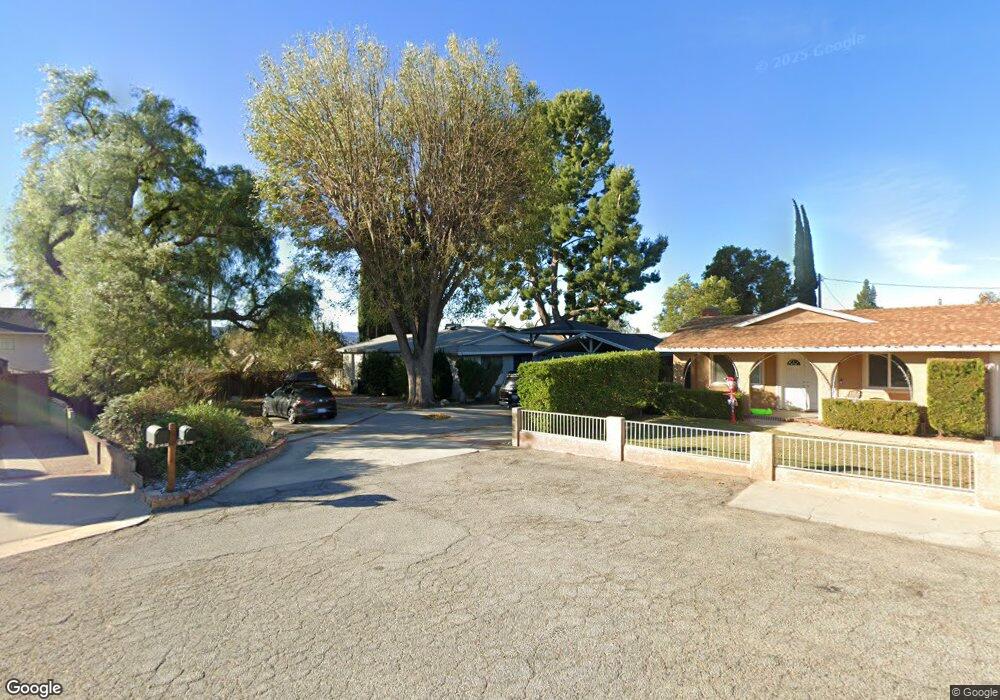
4218 Scott Dr Simi Valley, CA 93063
Central Simi Valley NeighborhoodEstimated Value: $956,754 - $1,073,000
3
Beds
3
Baths
2,510
Sq Ft
$402/Sq Ft
Est. Value
About This Home
This home is located at 4218 Scott Dr, Simi Valley, CA 93063 and is currently estimated at $1,009,689, approximately $402 per square foot. 4218 Scott Dr is a home located in Ventura County with nearby schools including Township Elementary School, Valley View Middle School, and Simi Valley High School.
Ownership History
Date
Name
Owned For
Owner Type
Purchase Details
Closed on
Oct 30, 2000
Sold by
Herman Robert J
Bought by
Oneill Shannon and Oneill Jill
Current Estimated Value
Home Financials for this Owner
Home Financials are based on the most recent Mortgage that was taken out on this home.
Original Mortgage
$133,105
Outstanding Balance
$49,117
Interest Rate
7.9%
Estimated Equity
$960,572
Create a Home Valuation Report for This Property
The Home Valuation Report is an in-depth analysis detailing your home's value as well as a comparison with similar homes in the area
Home Values in the Area
Average Home Value in this Area
Purchase History
| Date | Buyer | Sale Price | Title Company |
|---|---|---|---|
| Oneill Shannon | $44,500 | Landsafe Title |
Source: Public Records
Mortgage History
| Date | Status | Borrower | Loan Amount |
|---|---|---|---|
| Open | Oneill Shannon | $133,105 |
Source: Public Records
Tax History
| Year | Tax Paid | Tax Assessment Tax Assessment Total Assessment is a certain percentage of the fair market value that is determined by local assessors to be the total taxable value of land and additions on the property. | Land | Improvement |
|---|---|---|---|---|
| 2025 | $4,687 | $368,541 | $138,675 | $229,866 |
| 2024 | $4,687 | $361,315 | $135,956 | $225,359 |
| 2023 | $4,405 | $354,231 | $133,290 | $220,941 |
| 2022 | $4,375 | $347,286 | $130,677 | $216,609 |
| 2021 | $4,331 | $340,477 | $128,115 | $212,362 |
| 2020 | $4,234 | $336,988 | $126,802 | $210,186 |
| 2019 | $4,039 | $330,381 | $124,316 | $206,065 |
| 2018 | $3,997 | $323,904 | $121,879 | $202,025 |
| 2017 | $3,902 | $317,554 | $119,490 | $198,064 |
| 2016 | $3,724 | $311,329 | $117,148 | $194,181 |
| 2015 | $3,640 | $306,655 | $115,390 | $191,265 |
| 2014 | $3,581 | $300,650 | $113,131 | $187,519 |
Source: Public Records
Map
Nearby Homes
- 3162 Granville Ave
- 4167 Orontes Way
- 4514 Lubbock Dr Unit C
- 4502 Lubbock Dr
- 4505 Lubbock Dr
- 3562 Quincy Ave
- 4448 Lubbock Dr Unit C
- 3116 Lori Cir
- 4561 Alamo St Unit F
- 3525 Waco Ave
- 4545 Alamo St Unit G
- 3493 Amarillo Ave
- 4477 Hempstead St
- 4591 Hempstead St
- 4709 Beaumont St
- 4600 Adam Rd
- 4687 Summit Ave
- 4691 Summit Ave
- 4699 Summit Ave
- 4741 Westwood St
- 4214 Scott Dr
- 4211 Springfield St
- 4223 Springfield St
- 4181 Springfield St
- 4210 Scott Dr
- 4248 Scott Dr
- 4235 Springfield St
- 4163 Springfield St
- 4252 Scott Dr
- 4256 Scott Dr
- 4147 Springfield St
- 4247 Springfield St
- 4220 Springfield St
- 4210 Springfield St
- 4232 Springfield St
- 4184 Springfield St
- 4259 Springfield St
- 4260 Township Ave
- 4244 Springfield St
- 4162 Springfield St
Your Personal Tour Guide
Ask me questions while you tour the home.