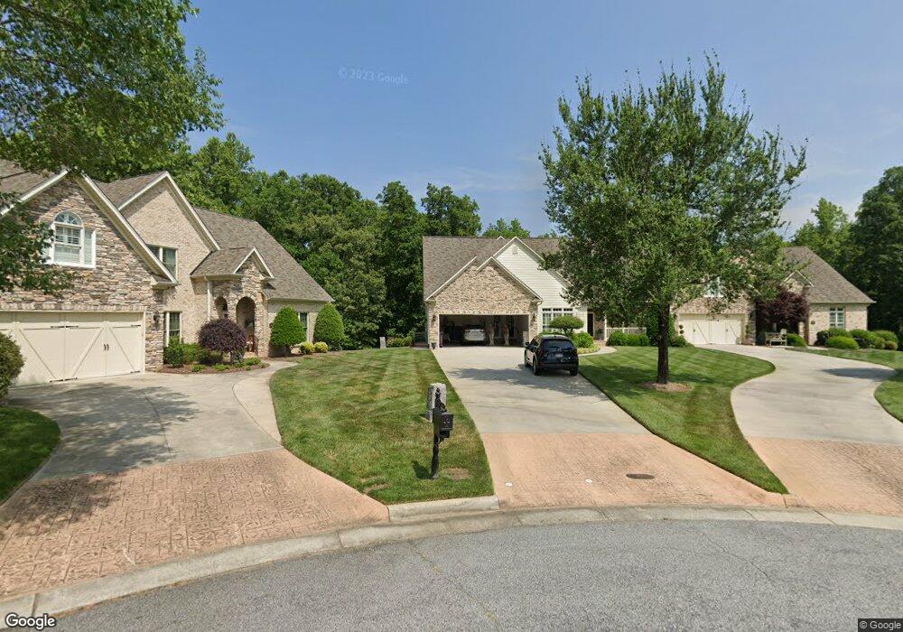
4219 Pennfield Way High Point, NC 27262
Estimated Value: $577,000 - $697,000
4
Beds
3
Baths
6,157
Sq Ft
$104/Sq Ft
Est. Value
About This Home
This home is located at 4219 Pennfield Way, High Point, NC 27262 and is currently estimated at $637,654, approximately $103 per square foot. 4219 Pennfield Way is a home with nearby schools including Friendship Elementary School, Ledford Middle School, and Ledford High School.
Ownership History
Date
Name
Owned For
Owner Type
Purchase Details
Closed on
May 1, 2008
Sold by
Kimsey Arnold Edward and Kimsey Julie M
Bought by
Krall Ronald Jerome and Krall Betty Schuller
Current Estimated Value
Home Financials for this Owner
Home Financials are based on the most recent Mortgage that was taken out on this home.
Original Mortgage
$175,000
Interest Rate
5.84%
Mortgage Type
Purchase Money Mortgage
Create a Home Valuation Report for This Property
The Home Valuation Report is an in-depth analysis detailing your home's value as well as a comparison with similar homes in the area
Purchase History
| Date | Buyer | Sale Price | Title Company |
|---|---|---|---|
| Krall Ronald Jerome | $365,000 | Chicago Title Insurance Co |
Source: Public Records
Mortgage History
| Date | Status | Borrower | Loan Amount |
|---|---|---|---|
| Closed | Krall Ronald Jerome | $175,000 |
Source: Public Records
Tax History
| Year | Tax Paid | Tax Assessment Tax Assessment Total Assessment is a certain percentage of the fair market value that is determined by local assessors to be the total taxable value of land and additions on the property. | Land | Improvement |
|---|---|---|---|---|
| 2025 | $5,029 | $429,960 | $0 | $0 |
| 2024 | $5,029 | $429,960 | $0 | $0 |
| 2023 | $4,902 | $429,960 | $0 | $0 |
| 2022 | $4,902 | $429,960 | $0 | $0 |
| 2021 | $5,029 | $429,960 | $0 | $0 |
| 2020 | $4,454 | $380,800 | $0 | $0 |
| 2019 | $4,522 | $380,800 | $0 | $0 |
| 2018 | $4,522 | $380,800 | $0 | $0 |
| 2017 | $4,522 | $380,800 | $0 | $0 |
| 2016 | $4,522 | $380,800 | $0 | $0 |
| 2015 | $4,532 | $380,800 | $0 | $0 |
| 2014 | $4,352 | $361,470 | $0 | $0 |
Source: Public Records
Map
Nearby Homes
- 2729 Croquet Cir
- 2731 Croquet Cir
- 4200 Lupton Ct
- 2801 Swan Lake Dr
- 2809 Churchill Ct
- 2908 Maggie Ct
- 1706 Windsor Dr
- Bailey Plan at Canter Creek
- Seagrove Plan at Canter Creek
- Richmond Plan at Canter Creek
- 4106 Stallion St Unit Lot 78
- 4094 Stallion St Unit lot 75
- Stoddard Plan at Canter Creek
- Cameron Plan at Canter Creek
- 4090 Stallion St Unit Lot 74
- 4090 Stallion St
- 4244 Canter Creek Ln
- 4244 Canter Creek Ln Unit 96
- 1629 Appaloosa Place
- 1629 Appaloosa Place Unit Lot 11
- 4221 Pennfield Way
- 4217 Pennfield Way
- 4218 Pennfield Way
- 4215 Pennfield Way
- 4214 Pennfield Way
- 2739 Croquet Cir
- 2737 Croquet Cir
- 4226 Lupton Ct
- 4210 Pennfield Way
- 2735 Croquet Cir
- 4207 Pennfield Way
- 2733 Croquet Cir
- 4206 Pennfield Way
- 4234 Lupton Ct
- 4220 Lupton Ct
- 2728 Croquet Cir
- 4205 Pennfield Way
- 4204 Pennfield Way
- 4214 Lupton Ct
- 2725 Croquet Cir
Your Personal Tour Guide
Ask me questions while you tour the home.