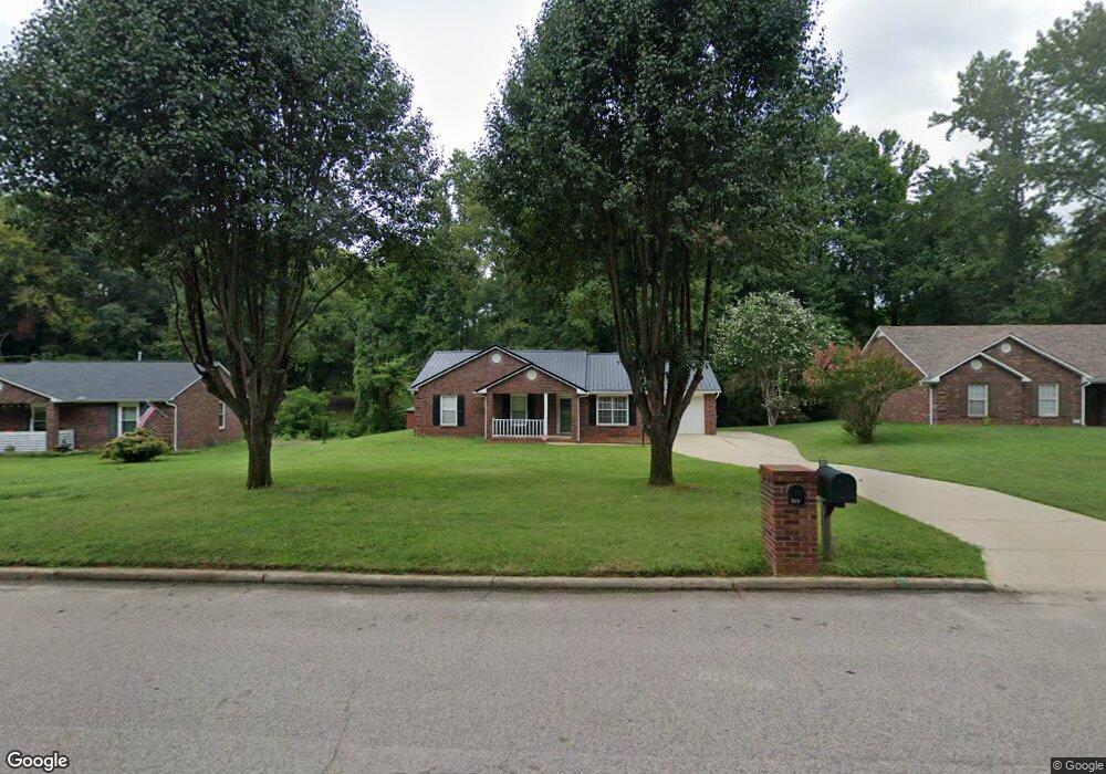
422 Ashbrook Rd Salisbury, NC 28147
Estimated Value: $201,145 - $262,000
Studio
2
Baths
1,157
Sq Ft
$203/Sq Ft
Est. Value
About This Home
This home is located at 422 Ashbrook Rd, Salisbury, NC 28147 and is currently estimated at $235,286, approximately $203 per square foot. 422 Ashbrook Rd is a home located in Rowan County with nearby schools including H D Isenberg Elementary, West Rowan Middle School, and West Rowan High School.
Ownership History
Date
Name
Owned For
Owner Type
Purchase Details
Closed on
May 11, 2006
Sold by
Ellis Willie J and Ellis Denise
Bought by
Ellis Willie J and Ellis Denise
Current Estimated Value
Home Financials for this Owner
Home Financials are based on the most recent Mortgage that was taken out on this home.
Original Mortgage
$75,000
Interest Rate
6.12%
Mortgage Type
New Conventional
Create a Home Valuation Report for This Property
The Home Valuation Report is an in-depth analysis detailing your home's value as well as a comparison with similar homes in the area
Purchase History
| Date | Buyer | Sale Price | Title Company |
|---|---|---|---|
| Ellis Willie J | -- | Landamerica |
Source: Public Records
Mortgage History
| Date | Status | Borrower | Loan Amount |
|---|---|---|---|
| Closed | Ellis Willie J | $75,000 |
Source: Public Records
Tax History
| Year | Tax Paid | Tax Assessment Tax Assessment Total Assessment is a certain percentage of the fair market value that is determined by local assessors to be the total taxable value of land and additions on the property. | Land | Improvement |
|---|---|---|---|---|
| 2025 | $1,980 | $165,528 | $35,000 | $130,528 |
| 2024 | $1,980 | $165,528 | $35,000 | $130,528 |
| 2023 | $1,980 | $165,528 | $35,000 | $130,528 |
| 2022 | $1,649 | $119,778 | $23,000 | $96,778 |
| 2021 | $1,649 | $119,778 | $23,000 | $96,778 |
| 2020 | $1,649 | $119,778 | $23,000 | $96,778 |
| 2019 | $1,649 | $119,778 | $23,000 | $96,778 |
| 2018 | $1,364 | $100,365 | $23,000 | $77,365 |
| 2017 | $1,356 | $100,365 | $23,000 | $77,365 |
| 2016 | $1,319 | $100,365 | $23,000 | $77,365 |
| 2015 | $1,327 | $100,365 | $23,000 | $77,365 |
| 2014 | $1,318 | $100,880 | $23,000 | $77,880 |
Source: Public Records
Map
Nearby Homes
- 427 Willow Rd
- 202 Cedarwood Dr
- 114 Elmwood Dr
- 451 Blue Mountain Rd
- 000 Statesville Blvd
- 103 Magnolia Dr
- 2417 Statesville Blvd
- 150 Magnolia Cir
- 240 Proctor Dr
- 3325 Statesville Blvd
- 1805 Wellington Hills Cir Unit 1805
- 502 Wellington Hills Cir Unit 502
- 201 Wellington Hills Cir Unit 201
- 401 Wellington Hills Cir
- 202 Wellington Hills Cir Unit 202
- 109 Arabian Ln
- 105 Arabian Ln
- 340 Freedom Dr
- 413 Hidden Creek Cir Unit 112
- 207 N Milford Dr
- 424 Ashbrook Rd
- 420 Ashbrook Rd
- 218 Cedarwood Dr
- 418 Ashbrook Rd
- 220 Cedarwood Dr
- 433 Willow Rd
- 431 Willow Rd
- 421 Ashbrook Rd
- 216 Cedarwood Dr
- 429 Willow Rd
- 416 Ashbrook Rd
- 219 Cedarwood Dr
- 427 Ashbrook Rd
- 214 Cedarwood Dr
- 414 Ashbrook Rd
- 217 Cedarwood Dr
- 505 Willow Rd
- 116 Tree Top Ct
- 120 Tree Top Ct
- 213 Cedarwood Dr
Your Personal Tour Guide
Ask me questions while you tour the home.