422 Chestnut St Warwick, RI 02888
Norwood NeighborhoodEstimated Value: $361,481 - $427,000
3
Beds
2
Baths
1,602
Sq Ft
$247/Sq Ft
Est. Value
About This Home
This home is located at 422 Chestnut St, Warwick, RI 02888 and is currently estimated at $396,370, approximately $247 per square foot. 422 Chestnut St is a home located in Kent County with nearby schools including Nel/Cps Construction Career, St. Peter School, and Saint Paul School.
Ownership History
Date
Name
Owned For
Owner Type
Purchase Details
Closed on
May 7, 1998
Sold by
Coderre Annette I
Bought by
Bloomingburgh Melinda
Current Estimated Value
Purchase Details
Closed on
Dec 28, 1989
Sold by
Laprey James F
Bought by
Coderre Annette I
Create a Home Valuation Report for This Property
The Home Valuation Report is an in-depth analysis detailing your home's value as well as a comparison with similar homes in the area
Home Values in the Area
Average Home Value in this Area
Purchase History
| Date | Buyer | Sale Price | Title Company |
|---|---|---|---|
| Bloomingburgh Melinda | $91,000 | -- | |
| Coderre Annette I | $117,000 | -- | |
| Coderre Annette I | $117,000 | -- |
Source: Public Records
Mortgage History
| Date | Status | Borrower | Loan Amount |
|---|---|---|---|
| Open | Coderre Annette I | $206,200 | |
| Closed | Coderre Annette I | $196,800 | |
| Closed | Coderre Annette I | $170,000 |
Source: Public Records
Tax History Compared to Growth
Tax History
| Year | Tax Paid | Tax Assessment Tax Assessment Total Assessment is a certain percentage of the fair market value that is determined by local assessors to be the total taxable value of land and additions on the property. | Land | Improvement |
|---|---|---|---|---|
| 2025 | $4,154 | $327,100 | $101,100 | $226,000 |
| 2024 | $3,784 | $261,500 | $87,900 | $173,600 |
| 2023 | $3,711 | $261,500 | $87,900 | $173,600 |
| 2022 | $3,517 | $187,800 | $56,900 | $130,900 |
| 2021 | $3,517 | $187,800 | $56,900 | $130,900 |
| 2020 | $3,517 | $187,800 | $56,900 | $130,900 |
| 2019 | $3,517 | $187,800 | $56,900 | $130,900 |
| 2018 | $2,835 | $136,300 | $56,900 | $79,400 |
| 2017 | $2,759 | $136,300 | $56,900 | $79,400 |
| 2016 | $2,759 | $136,300 | $56,900 | $79,400 |
| 2015 | $2,583 | $124,500 | $55,800 | $68,700 |
| 2014 | $2,497 | $124,500 | $55,800 | $68,700 |
| 2013 | $2,464 | $124,500 | $55,800 | $68,700 |
Source: Public Records
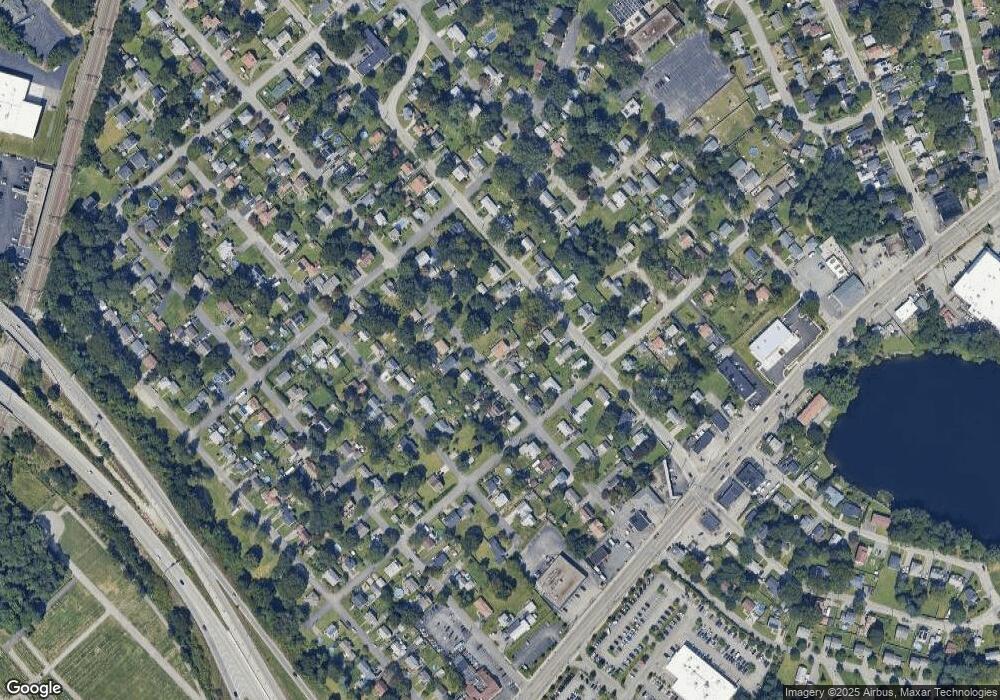
Map
Nearby Homes
- 396 Elm St
- 1153 Post Rd
- 63 Massasoit Dr
- 447 Harrington Ave
- 27 Frederick St
- 1052 Post Rd
- 93 Grotto Ave
- 85 Pilgrim Dr
- 35 Welfare Ave
- 76 Massachusetts Ave
- 77 Kentucky Ave
- 35 Manson Ave
- 126 Fairfax Dr
- 341 Sumner Ave
- 120 Gould Ave
- 169 Partition St
- 110 Heath Ave
- 93 Easton Ave
- 208 Negansett Ave
- 110 Pilgrim Pkwy Unit 8