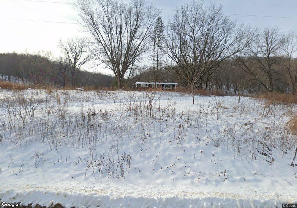
4220 Collischan Rd Red Wing, MN 55066
Estimated Value: $334,000 - $397,000
3
Beds
2
Baths
2,305
Sq Ft
$164/Sq Ft
Est. Value
About This Home
This home is located at 4220 Collischan Rd, Red Wing, MN 55066 and is currently estimated at $377,681, approximately $163 per square foot. 4220 Collischan Rd is a home located in Goodhue County with nearby schools including Burnside Elementary School, Sunnyside Elementary School, and Twin Bluff Middle School.
Ownership History
Date
Name
Owned For
Owner Type
Purchase Details
Closed on
Nov 13, 2020
Sold by
Grandlienard Neal F and Pearson Kristin
Bought by
Evenmo Michael K and Evenmo Kimberly
Current Estimated Value
Purchase Details
Closed on
May 18, 2016
Sold by
Janis Terry L and Janis Kathleen Olivia
Bought by
Grandlienard Neal F
Purchase Details
Closed on
May 16, 2016
Sold by
Gustafson Sundell Danielle and Gustafson Sundell Nathanial
Bought by
Janis Terry L and Janis Kathleen Olivia
Purchase Details
Closed on
Oct 17, 2005
Sold by
Borgen Cynthia K
Bought by
Janis Terry L and Janis Kathleen Olivia
Create a Home Valuation Report for This Property
The Home Valuation Report is an in-depth analysis detailing your home's value as well as a comparison with similar homes in the area
Home Values in the Area
Average Home Value in this Area
Purchase History
| Date | Buyer | Sale Price | Title Company |
|---|---|---|---|
| Evenmo Michael K | $285,000 | Minnesota Title | |
| Grandlienard Neal F | $215,000 | Goodhue County Abstract | |
| Janis Terry L | -- | Goodhue County Abstract | |
| Janis Terry L | $268,000 | -- | |
| Evenmo Michael Michael | $285,000 | -- |
Source: Public Records
Mortgage History
| Date | Status | Borrower | Loan Amount |
|---|---|---|---|
| Closed | Evenmo Michael Michael | $285,000 |
Source: Public Records
Tax History Compared to Growth
Tax History
| Year | Tax Paid | Tax Assessment Tax Assessment Total Assessment is a certain percentage of the fair market value that is determined by local assessors to be the total taxable value of land and additions on the property. | Land | Improvement |
|---|---|---|---|---|
| 2025 | $4,168 | $326,900 | $123,300 | $203,600 |
| 2024 | -- | $322,800 | $123,300 | $199,500 |
| 2023 | $4,020 | $308,300 | $123,100 | $185,200 |
| 2022 | $3,914 | $304,800 | $121,000 | $183,800 |
| 2021 | $3,522 | $272,400 | $120,800 | $151,600 |
| 2020 | $4,302 | $250,800 | $120,800 | $130,000 |
| 2019 | $4,144 | $239,700 | $120,800 | $118,900 |
| 2018 | $3,528 | $241,900 | $120,800 | $121,100 |
| 2017 | $2,840 | $212,600 | $110,800 | $101,800 |
| 2016 | $2,702 | $213,400 | $113,400 | $100,000 |
| 2015 | $2,642 | $210,200 | $113,400 | $96,800 |
| 2014 | -- | $204,800 | $113,400 | $91,400 |
Source: Public Records
Map
Nearby Homes
- 4336 Lookout Ln
- 168 Johnson Ave
- 232 Fern Ave
- 237 Motel Ave
- 135 Kingswood Dr
- 980 Aurora Cir
- 808 Aurora Cir
- 853 Aurora Cir
- 936 Aurora Cir
- 4739 Big Sky Ct
- 912 Aurora Cir
- 4786 Mount Hood Ln
- 906 Snowbird Dr
- 910 Snowbird Dr
- 914 Snowbird Dr
- 921 Snowbird Dr
- 4958 Chalet Ct
- 4990 Chalet Ct
- 4994 Chalet Ct
- 4986 Chalet Ct
- 4270 Collischan Rd
- 370 Cannon View Dr
- 376 Cannon View Dr
- 358 Cannon View Dr
- 386 Cannon View Dr
- 346 Cannon View Dr
- 326 Cannon View Dr
- 336 Cannon View Dr
- 316 Cannon View Dr
- 267 Finrud Ave
- 371 Cannon View Dr
- 308 Cannon View Dr
- 385 Cannon View Dr
- 359 Cannon View Dr
- 351 Cannon View Dr
- 261 Finrud Ave
- 282 Cannon View Dr
- 337 Cannon View Dr
- 329 Cannon View Dr
- 244 Finrud Ave