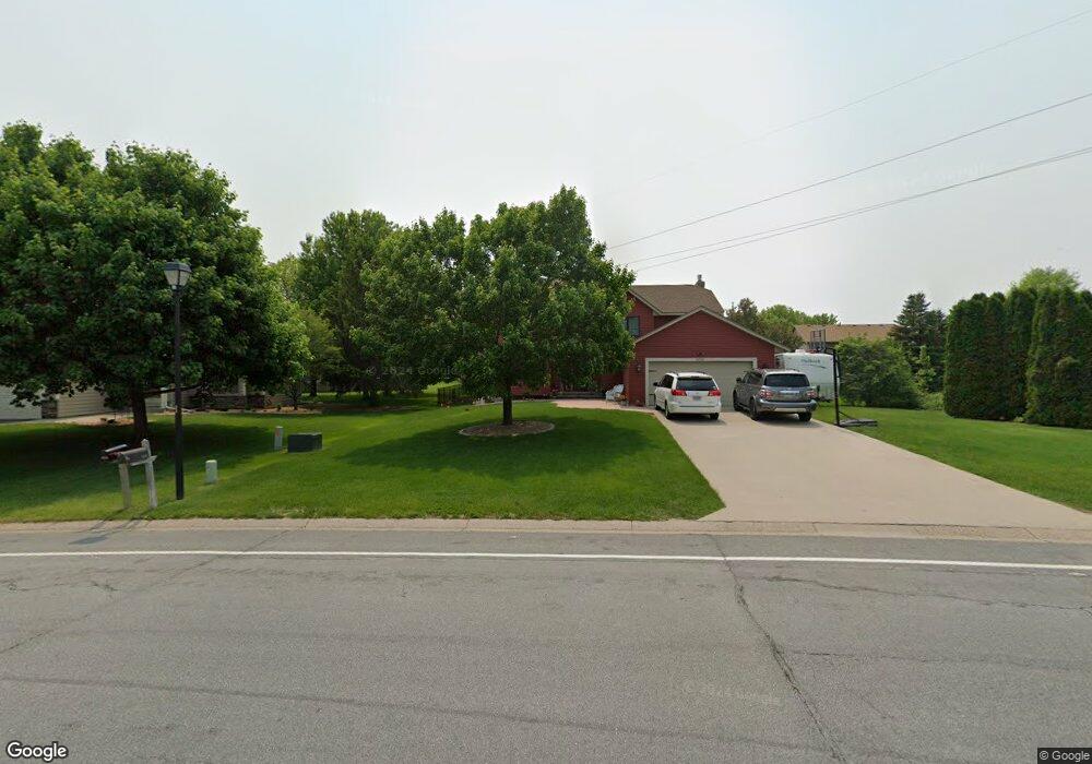
4220 Daniel Dr Saint Paul, MN 55123
Estimated Value: $469,000 - $517,511
4
Beds
4
Baths
2,374
Sq Ft
$206/Sq Ft
Est. Value
About This Home
This home is located at 4220 Daniel Dr, Saint Paul, MN 55123 and is currently estimated at $488,628, approximately $205 per square foot. 4220 Daniel Dr is a home located in Dakota County with nearby schools including Northview Elementary School, Dakota Hills Middle School, and Eagan Senior High School.
Ownership History
Date
Name
Owned For
Owner Type
Purchase Details
Closed on
Aug 25, 2004
Sold by
Kortun Vladimir and Kortun Elena
Bought by
Ehrenberg Daniel J and Ehrenberg Tracy L
Current Estimated Value
Purchase Details
Closed on
Apr 25, 2001
Sold by
Kane John J and Kane Lauren E
Bought by
Kovtun Elena and Kovtun Vladimir
Purchase Details
Closed on
Mar 13, 1998
Sold by
Reece Vicki J
Bought by
Kane John J and Kane Lauren E
Create a Home Valuation Report for This Property
The Home Valuation Report is an in-depth analysis detailing your home's value as well as a comparison with similar homes in the area
Home Values in the Area
Average Home Value in this Area
Purchase History
| Date | Buyer | Sale Price | Title Company |
|---|---|---|---|
| Ehrenberg Daniel J | $267,900 | -- | |
| Kovtun Elena | $208,000 | -- | |
| Kane John J | $158,500 | -- |
Source: Public Records
Tax History Compared to Growth
Tax History
| Year | Tax Paid | Tax Assessment Tax Assessment Total Assessment is a certain percentage of the fair market value that is determined by local assessors to be the total taxable value of land and additions on the property. | Land | Improvement |
|---|---|---|---|---|
| 2024 | $6,104 | $472,500 | $93,300 | $379,200 |
| 2023 | $6,104 | $478,500 | $93,600 | $384,900 |
| 2022 | $5,116 | $481,300 | $93,300 | $388,000 |
| 2021 | $5,218 | $423,700 | $81,100 | $342,600 |
| 2020 | $5,356 | $400,500 | $77,300 | $323,200 |
| 2019 | $4,439 | $388,200 | $73,600 | $314,600 |
| 2018 | $3,830 | $368,400 | $70,100 | $298,300 |
| 2017 | $3,716 | $334,800 | $66,700 | $268,100 |
| 2016 | $3,693 | $311,600 | $63,500 | $248,100 |
| 2015 | $3,410 | $297,826 | $61,522 | $236,304 |
| 2014 | -- | $279,187 | $59,434 | $219,753 |
| 2013 | -- | $248,013 | $53,166 | $194,847 |
Source: Public Records
Map
Nearby Homes
- 968 Coneflower Ct
- 973 Wildflower Ct
- 4315 Jessica Ct
- 1021 Diffley Rd
- 1035 Walnut Ridge Dr
- 4240 Braddock Trail
- 4162 Pennsylvania Ave
- 4125 Pennsylvania Ave
- 4274 Maclaren Place
- 790 Summerbrooke Ct
- 4231 Yorktown Dr
- 782 Summerbrooke Ct
- 4124 New York Ave
- 4358 Yorktown Dr
- 999 Northview Park Rd
- 4027 Camberwell Dr N
- 935 Lakewood Hills Rd
- 1110 Tiffany Ct
- 4080 Camberwell Dr N
- 878 Lakewood Hills Rd S
- 4224 Daniel Dr
- 953 Trillium Ct
- 949 Trillium Ct
- 4418 Braddock Trail
- 4422 Braddock Trail
- 948 Trillium Ct
- 4221 Daniel Dr
- 4217 Daniel Dr
- 4414 Braddock Trail
- 4225 Daniel Dr
- 957 Trillium Ct
- 952 Trillium Ct
- 4213 Daniel Dr
- 4410 Braddock Trail
- 4229 Daniel Dr
- 961 Trillium Ct
- 4233 Daniel Dr
- 956 Trillium Ct
- 953 Coneflower Ct
- 4406 Braddock Trail