4220 S Mobile Cir Unit F Aurora, CO 80013
Mission Viejo NeighborhoodEstimated Value: $350,699 - $400,000
2
Beds
2
Baths
1,314
Sq Ft
$283/Sq Ft
Est. Value
About This Home
This home is located at 4220 S Mobile Cir Unit F, Aurora, CO 80013 and is currently estimated at $371,425, approximately $282 per square foot. 4220 S Mobile Cir Unit F is a home located in Arapahoe County with nearby schools including Mission Viejo Elementary School, Laredo Middle School, and Smoky Hill High School.
Ownership History
Date
Name
Owned For
Owner Type
Purchase Details
Closed on
Jan 26, 2007
Sold by
Herrera Edward and Estate Of Theodore Steve Herre
Bought by
Holden Kathy
Current Estimated Value
Home Financials for this Owner
Home Financials are based on the most recent Mortgage that was taken out on this home.
Original Mortgage
$129,600
Outstanding Balance
$77,366
Interest Rate
6.1%
Mortgage Type
Purchase Money Mortgage
Estimated Equity
$294,059
Purchase Details
Closed on
Jun 1, 1984
Sold by
Conversion Arapco
Bought by
Conversion Arapco
Purchase Details
Closed on
Sep 1, 1983
Bought by
Conversion Arapco
Create a Home Valuation Report for This Property
The Home Valuation Report is an in-depth analysis detailing your home's value as well as a comparison with similar homes in the area
Home Values in the Area
Average Home Value in this Area
Purchase History
| Date | Buyer | Sale Price | Title Company |
|---|---|---|---|
| Holden Kathy | $162,000 | Fahtco | |
| Conversion Arapco | -- | -- | |
| Conversion Arapco | -- | -- |
Source: Public Records
Mortgage History
| Date | Status | Borrower | Loan Amount |
|---|---|---|---|
| Open | Holden Kathy | $129,600 |
Source: Public Records
Tax History Compared to Growth
Tax History
| Year | Tax Paid | Tax Assessment Tax Assessment Total Assessment is a certain percentage of the fair market value that is determined by local assessors to be the total taxable value of land and additions on the property. | Land | Improvement |
|---|---|---|---|---|
| 2024 | $1,584 | $22,901 | -- | -- |
| 2023 | $1,584 | $22,901 | $0 | $0 |
| 2022 | $1,459 | $20,148 | $0 | $0 |
| 2021 | $1,469 | $20,148 | $0 | $0 |
| 2020 | $1,342 | $18,683 | $0 | $0 |
| 2019 | $1,294 | $18,683 | $0 | $0 |
| 2018 | $1,131 | $15,336 | $0 | $0 |
| 2017 | $1,114 | $15,336 | $0 | $0 |
| 2016 | $944 | $12,187 | $0 | $0 |
| 2015 | $899 | $12,187 | $0 | $0 |
| 2014 | $699 | $8,398 | $0 | $0 |
| 2013 | -- | $12,020 | $0 | $0 |
Source: Public Records
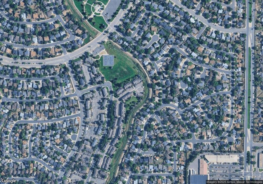
Map
Nearby Homes
- 4229 S Mobile Cir Unit B
- 4128 S Olathe Way
- 4149 S Lewiston St
- 4105 S Laredo Way
- 4130 S Laredo Way
- 16365 E Rice Place Unit B
- 16396 E Rice Place Unit B
- 16038 E Oxford Dr
- 16505 E Stanford Place
- 4538 S Nucla St
- 3984 S Pitkin Way
- 17212 E Oberlin Place
- 4247 S Pitkin St
- 4617 S Norfolk Way
- 4602 S Lewiston Way
- 4557 S Laredo St
- 17177 E Navarro Place
- 16812 E Mansfield Cir
- 17121 E Mercer Dr
- 4638 S Kittredge St
- 4220 S Mobile Cir Unit A
- 4220 S Mobile Cir Unit B
- 4220 S Mobile Cir Unit C
- 4220 S Mobile Cir Unit D
- 4220 S Mobile Cir Unit E
- 4232 S Mobile Cir Unit A
- 4232 S Mobile Cir Unit B
- 4232 S Mobile Cir Unit C
- 4232 S Mobile Cir Unit D
- 4232 S Mobile Cir Unit E
- 4210 S Mobile Cir Unit D
- 4210 S Mobile Cir Unit C
- 4210 S Mobile Cir Unit B
- 4210 S Mobile Cir Unit A
- 4210 S Mobile Cir
- 4230 S Mobile Cir Unit A
- 4230 S Mobile Cir Unit B
- 4230 S Mobile Cir Unit C
- 4230 S Mobile Cir Unit D
- 4230 S Mobile Cir