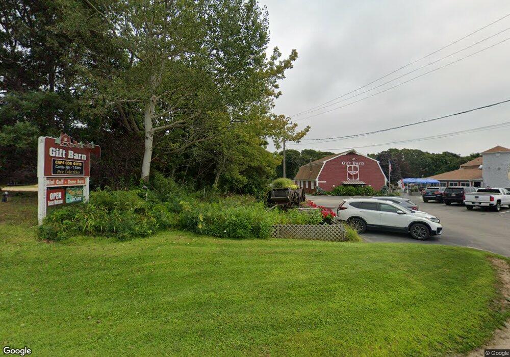
4220 State Hwy Eastham, MA 2642
Estimated Value: $920,000
Studio
--
Bath
--
Sq Ft
1.89
Acres Lot
About This Home
This home is located at 4220 State Hwy, Eastham, MA 2642 and is currently priced at $920,000. 4220 State Hwy is a home located in Barnstable County with nearby schools including Eastham Elementary School, Nauset Regional Middle School, and Nauset Regional High School.
Ownership History
Date
Name
Owned For
Owner Type
Purchase Details
Closed on
Jul 10, 2015
Sold by
Theoharidis Dennis D
Bought by
Dennis D Theoharidis T
Current Estimated Value
Purchase Details
Closed on
Apr 9, 2013
Sold by
Theoharidis Deon and Theoharidis Dennis
Bought by
Theoharidis Dennis D
Purchase Details
Closed on
Dec 26, 1999
Sold by
Theoharidis Spero
Bought by
Theoharidis Deon and Theoharidis Dennis
Home Financials for this Owner
Home Financials are based on the most recent Mortgage that was taken out on this home.
Original Mortgage
$65,000
Interest Rate
7.61%
Mortgage Type
Purchase Money Mortgage
Create a Home Valuation Report for This Property
The Home Valuation Report is an in-depth analysis detailing your home's value as well as a comparison with similar homes in the area
Home Values in the Area
Average Home Value in this Area
Purchase History
We collect this data history from publicly available records. To have your information removed, we recommend requesting removal directly through your county’s website.
| Date | Buyer | Sale Price | Title Company |
|---|---|---|---|
| Dennis D Theoharidis T | -- | -- | |
| Theoharidis Dennis D | -- | -- | |
| Theoharidis Deon | $75,000 | -- |
Source: Public Records
Mortgage History
We collect this data history from publicly available records. To have your information removed, we recommend requesting removal directly through your county’s website.
| Date | Status | Borrower | Loan Amount |
|---|---|---|---|
| Previous Owner | Theoharidis Deon | $65,000 |
Source: Public Records
Tax History
| Year | Tax Paid | Tax Assessment Tax Assessment Total Assessment is a certain percentage of the fair market value that is determined by local assessors to be the total taxable value of land and additions on the property. | Land | Improvement |
|---|---|---|---|---|
| 2025 | $5,206 | $675,200 | $675,200 | $0 |
| 2024 | $4,594 | $655,400 | $655,400 | $0 |
| 2023 | $4,608 | $636,500 | $636,500 | $0 |
| 2022 | $4,874 | $568,100 | $568,100 | $0 |
| 2021 | $5,063 | $551,500 | $551,500 | $0 |
| 2020 | $5,651 | $648,100 | $648,100 | $0 |
| 2019 | $2,023 | $648,100 | $648,100 | $0 |
| 2018 | $5,253 | $629,100 | $629,100 | $0 |
| 2017 | $4,889 | $618,900 | $618,900 | $0 |
| 2016 | $4,567 | $613,900 | $613,900 | $0 |
| 2015 | -- | $607,800 | $607,800 | $0 |
Source: Public Records
Map
Nearby Homes
- 4180 State Hwy
- 218 Main Mercantile Unit 18A
- 0 Main St Unit 8044803
- 0 Main St Unit 8038810
- 0 Main St Unit C
- 3 Main St Unit 20
- 3 Main St Unit 32B
- 3 Main St Unit 14
- 3 Main St Unit 4 and 5
- 3 Main St Unit 4
- 3 Main St Unit 5
- 3 Main St Unit 15-16
- 3 Main St Unit 9
- 3 Main St Unit 6
- 3 Main St Unit H
- 3 Main St Unit 7
- 3 Main St Unit L
- 3 Main St Unit K
- 3 Main St Unit 8
- 3 Main St Unit 1
Your Personal Tour Guide
Ask me questions while you tour the home.