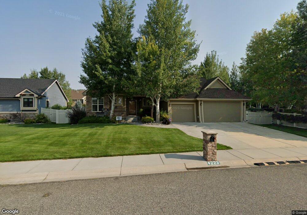
4223 Rangeview Dr Billings, MT 59106
West Shiloh NeighborhoodEstimated Value: $688,000 - $771,000
5
Beds
3
Baths
3,785
Sq Ft
$190/Sq Ft
Est. Value
About This Home
This home is located at 4223 Rangeview Dr, Billings, MT 59106 and is currently estimated at $720,742, approximately $190 per square foot. 4223 Rangeview Dr is a home located in Yellowstone County with nearby schools including Arrowhead School, Ben Steele Middle School, and Billings West High School.
Ownership History
Date
Name
Owned For
Owner Type
Purchase Details
Closed on
Jun 9, 2023
Sold by
Hagen Robbin L and Hagen Sandra R
Bought by
Niles Rex A and Niles Shirley R
Current Estimated Value
Purchase Details
Closed on
Nov 28, 2022
Sold by
Visser Deann
Bought by
Hagen Robbin L and Hagen Sandra R
Purchase Details
Closed on
Aug 19, 2016
Sold by
Larson Barara A
Bought by
Visser Deann
Purchase Details
Closed on
May 15, 2008
Sold by
Design Builder Inc
Bought by
Larson Barbara A
Home Financials for this Owner
Home Financials are based on the most recent Mortgage that was taken out on this home.
Original Mortgage
$252,000
Interest Rate
5.88%
Mortgage Type
Purchase Money Mortgage
Create a Home Valuation Report for This Property
The Home Valuation Report is an in-depth analysis detailing your home's value as well as a comparison with similar homes in the area
Home Values in the Area
Average Home Value in this Area
Purchase History
| Date | Buyer | Sale Price | Title Company |
|---|---|---|---|
| Niles Rex A | -- | Stewart Title Company | |
| Hagen Robbin L | -- | Stewart Title | |
| Visser Deann | -- | None Available | |
| Larson Barbara A | -- | None Available |
Source: Public Records
Mortgage History
| Date | Status | Borrower | Loan Amount |
|---|---|---|---|
| Previous Owner | Larson Barbara A | $252,000 |
Source: Public Records
Tax History
| Year | Tax Paid | Tax Assessment Tax Assessment Total Assessment is a certain percentage of the fair market value that is determined by local assessors to be the total taxable value of land and additions on the property. | Land | Improvement |
|---|---|---|---|---|
| 2025 | $5,790 | $676,800 | $105,200 | $571,600 |
| 2024 | $5,790 | $607,700 | $96,157 | $511,543 |
| 2023 | $5,769 | $607,700 | $96,157 | $511,543 |
| 2022 | $5,329 | $493,300 | $0 | $0 |
| 2021 | $5,038 | $493,300 | $0 | $0 |
| 2020 | $4,922 | $461,100 | $0 | $0 |
| 2019 | $4,694 | $461,100 | $0 | $0 |
| 2018 | $4,723 | $456,000 | $0 | $0 |
| 2017 | $4,221 | $456,000 | $0 | $0 |
| 2016 | $4,247 | $421,900 | $0 | $0 |
| 2015 | $4,162 | $421,900 | $0 | $0 |
| 2014 | $3,973 | $214,438 | $0 | $0 |
Source: Public Records
Map
Nearby Homes
- 2213 Westfield Dr
- 2301 Elsa Dr
- 2106 Shiloh Rd
- 2605 Westfield Dr
- 2631 Country Ln
- 4126 Julaura Ln
- 4044 Backwoods Dr
- 4520 Poly Dr
- 3940 Fairmeadow Dr
- 3854 Avenue E
- 3865 Avenue C
- 5097 Audubon Way
- 4649 N Hollow Brook Dr
- 4816 Silver Creek Trail
- 4902 Silver Creek Trail
- 1610 Province Ln
- 3023 Melrose Ln
- 4416 Pine Cove Rd
- 1947 Tiburon Ln
- 1903 Tiburon Ln
- 4225 Rangeview Dr
- 4239 Rangeview Dr
- 4226 Huckleberry Ln S
- 4242 Huckleberry Ln S
- 2196 Westfield Dr
- 4255 Rangeview Dr
- 2191 Rangeview Ct
- 4258 Huckleberry Ln S
- 4212 Huckleberry Ln S
- 2184 Westfield Dr
- 2239 Westfield Dr
- 4272 Huckleberry Ln S
- 2183 Rangeview Ct
- 4182 Rangeview Dr
- 2309 Crimson Ln
- 2318 Westfield Dr
- 2267 Westfield Dr
- 2194 Rangeview Ct
- 2170 Westfield Dr
- 4288 Huckleberry Ln S
Your Personal Tour Guide
Ask me questions while you tour the home.