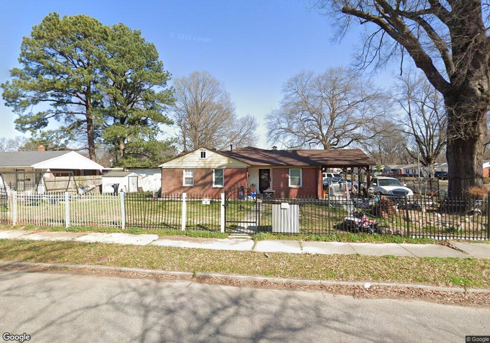
4226 Zaio Ave Memphis, TN 38122
Berclair NeighborhoodEstimated Value: $139,000 - $184,000
4
Beds
2
Baths
1,678
Sq Ft
$95/Sq Ft
Est. Value
About This Home
This home is located at 4226 Zaio Ave, Memphis, TN 38122 and is currently estimated at $159,328, approximately $94 per square foot. 4226 Zaio Ave is a home located in Shelby County with nearby schools including Wells Station Elementary School, Kingsbury Middle School, and Kingsbury High School.
Ownership History
Date
Name
Owned For
Owner Type
Purchase Details
Closed on
Oct 27, 2006
Sold by
Blackwell Aline E and Qualls Brenda B
Bought by
Lopez Miguel
Current Estimated Value
Home Financials for this Owner
Home Financials are based on the most recent Mortgage that was taken out on this home.
Original Mortgage
$85,850
Outstanding Balance
$51,066
Interest Rate
6.31%
Mortgage Type
Purchase Money Mortgage
Estimated Equity
$108,262
Purchase Details
Closed on
Mar 31, 1997
Sold by
Blackwell Grover C and Blackwell Aline E
Bought by
Qualls Brenda B
Create a Home Valuation Report for This Property
The Home Valuation Report is an in-depth analysis detailing your home's value as well as a comparison with similar homes in the area
Home Values in the Area
Average Home Value in this Area
Purchase History
| Date | Buyer | Sale Price | Title Company |
|---|---|---|---|
| Lopez Miguel | $85,800 | Tri State Title & Escrow Inc | |
| Qualls Brenda B | -- | Memphis Title |
Source: Public Records
Mortgage History
| Date | Status | Borrower | Loan Amount |
|---|---|---|---|
| Open | Lopez Miguel | $85,850 |
Source: Public Records
Tax History Compared to Growth
Tax History
| Year | Tax Paid | Tax Assessment Tax Assessment Total Assessment is a certain percentage of the fair market value that is determined by local assessors to be the total taxable value of land and additions on the property. | Land | Improvement |
|---|---|---|---|---|
| 2025 | $663 | $34,950 | $4,125 | $30,825 |
| 2024 | $663 | $19,550 | $2,500 | $17,050 |
| 2023 | $1,191 | $19,550 | $2,500 | $17,050 |
| 2022 | $1,191 | $19,550 | $2,500 | $17,050 |
| 2021 | $1,205 | $19,550 | $2,500 | $17,050 |
| 2020 | $1,016 | $14,025 | $2,500 | $11,525 |
| 2019 | $1,016 | $14,025 | $2,500 | $11,525 |
| 2018 | $1,016 | $14,025 | $2,500 | $11,525 |
| 2017 | $576 | $14,025 | $2,500 | $11,525 |
| 2016 | $653 | $14,950 | $0 | $0 |
| 2014 | $653 | $14,950 | $0 | $0 |
Source: Public Records
Map
Nearby Homes
- 1236 Darlow St
- 1232 Vaughn Rd
- 4285 Fairmont Ave
- 1224 Wells Station Rd
- 4227 Bayliss Ave
- 4113 Wilmette Ave
- 1093 Sandra St
- 4037 Graham Oaks Ct Unit 30
- 4381 Janice Ave
- 1335 Victor Dr
- 3981 Grahamdale Cir Unit 3981B
- 3962 Grahamdale Cir Unit 3962A
- 3970 Grahamdale Cir Unit 3970A
- 4124 Given Ave
- 3989 Grahamdale Cir Unit 3989A
- 3967 Grahamdale Cir Unit 3967B
- 3915 Bayliss Ave
- 4555 Gailwood Ave
- 887 Sumter St
- 1345 Maria St