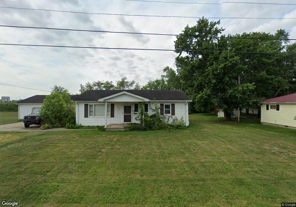
423 4th St Unit C421 Beaver, OH 45613
Estimated Value: $77,000 - $131,000
2
Beds
1
Bath
816
Sq Ft
$136/Sq Ft
Est. Value
About This Home
This home is located at 423 4th St Unit C421, Beaver, OH 45613 and is currently estimated at $111,198, approximately $136 per square foot. 423 4th St Unit C421 is a home located in Pike County.
Ownership History
Date
Name
Owned For
Owner Type
Purchase Details
Closed on
Oct 10, 2014
Sold by
Bapst Rentals Llc
Bought by
Huffer Michelle M
Current Estimated Value
Home Financials for this Owner
Home Financials are based on the most recent Mortgage that was taken out on this home.
Original Mortgage
$60,204
Outstanding Balance
$46,138
Interest Rate
4.09%
Mortgage Type
New Conventional
Estimated Equity
$65,060
Purchase Details
Closed on
Apr 1, 2008
Sold by
Bapst Darren and Bapst Darren L
Bought by
Bapst Rentals Llc
Create a Home Valuation Report for This Property
The Home Valuation Report is an in-depth analysis detailing your home's value as well as a comparison with similar homes in the area
Purchase History
| Date | Buyer | Sale Price | Title Company |
|---|---|---|---|
| Huffer Michelle M | $59,000 | None Available | |
| Bapst Rentals Llc | -- | None Available |
Source: Public Records
Mortgage History
| Date | Status | Borrower | Loan Amount |
|---|---|---|---|
| Open | Huffer Michelle M | $60,204 |
Source: Public Records
Tax History
| Year | Tax Paid | Tax Assessment Tax Assessment Total Assessment is a certain percentage of the fair market value that is determined by local assessors to be the total taxable value of land and additions on the property. | Land | Improvement |
|---|---|---|---|---|
| 2024 | $968 | $23,990 | $3,370 | $20,620 |
| 2023 | $970 | $23,990 | $3,370 | $20,620 |
| 2022 | $818 | $19,050 | $5,650 | $13,400 |
| 2021 | $801 | $19,050 | $5,650 | $13,400 |
| 2020 | $805 | $19,050 | $5,650 | $13,400 |
| 2019 | $630 | $17,970 | $5,150 | $12,820 |
| 2018 | $503 | $17,970 | $5,150 | $12,820 |
| 2017 | $492 | $17,970 | $5,150 | $12,820 |
| 2016 | $385 | $10,970 | $910 | $10,060 |
| 2015 | $385 | $10,970 | $910 | $10,060 |
| 2014 | $391 | $10,970 | $910 | $10,060 |
| 2013 | $415 | $10,970 | $910 | $10,060 |
| 2012 | $427 | $10,970 | $910 | $10,060 |
Source: Public Records
Map
Nearby Homes
- 7679 Ohio 335
- 6269 Beaver Pike
- 258 Umblebee Rd
- 9459 State Route 335
- 3115 Coal Dock Rd
- 2662 Adams Rd
- 0 Dutch Hollow Rd
- 459 Holbrook Rd
- 352 Holbrook Rd
- 001 Ervin Hill Rd
- 4359 Whaley Town Rd
- 816 Cove Rd
- 1005 Coal Dock Rd
- 01 Ervin Hill Rd
- 59 Elkhart Rd
- 308 Bliss Rd
- 142 Petersburg Rd
- 0 Straight Creek Rd
- 0 Straight Creek Rd
- 215 Ohio 335
- 419 4th St Unit C419
- 425 4th St Unit C423
- 425 4th St Unit C425
- 417 4th St Unit C417
- 221 Eastern Ave
- 316 Central Ave Unit C420
- 315 Central Ave
- 429 4th St Unit C429
- 222 Eastern Ave
- 5642 Beaver Pike
- 430 4th St Unit C428
- 321 3rd St Unit C321
- 327 3rd St Unit C327
- 319 3rd St Unit C319
- 432 4th St Unit C432
- 329 3rd St Unit C329
- 433 4th St Unit C433
- 331 3rd St Unit C331
- 434 4th St
- 315 3rd St Unit C313
Your Personal Tour Guide
Ask me questions while you tour the home.