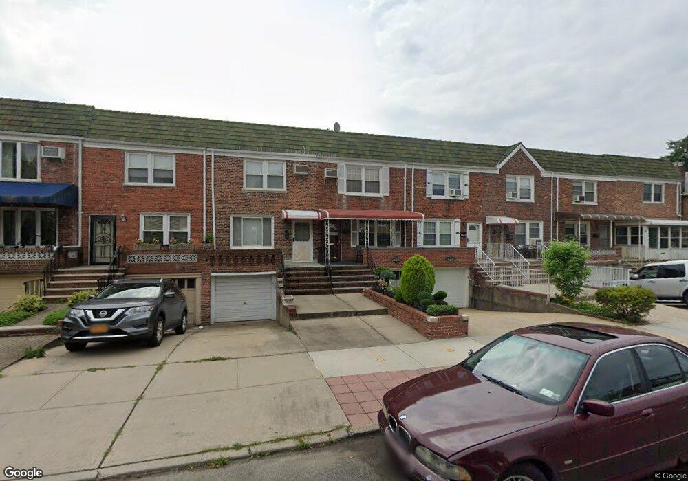
4232 195th St Flushing, NY 11358
Auburndale NeighborhoodEstimated Value: $802,000 - $959,000
--
Bed
--
Bath
1,336
Sq Ft
$650/Sq Ft
Est. Value
About This Home
This home is located at 4232 195th St, Flushing, NY 11358 and is currently estimated at $868,567, approximately $650 per square foot. 4232 195th St is a home located in Queens County with nearby schools including P.S. 31 - Bayside, I.S. 25 Adrien Block, and Francis Lewis High School.
Ownership History
Date
Name
Owned For
Owner Type
Purchase Details
Closed on
Sep 30, 1999
Sold by
Alexander Joan and Sweeney John K
Bought by
Alexander Robert and Alexander Mary C
Current Estimated Value
Home Financials for this Owner
Home Financials are based on the most recent Mortgage that was taken out on this home.
Original Mortgage
$145,000
Interest Rate
6%
Mortgage Type
Seller Take Back
Create a Home Valuation Report for This Property
The Home Valuation Report is an in-depth analysis detailing your home's value as well as a comparison with similar homes in the area
Home Values in the Area
Average Home Value in this Area
Purchase History
| Date | Buyer | Sale Price | Title Company |
|---|---|---|---|
| Alexander Robert | $165,000 | Commonwealth Land Title Ins | |
| Alexander Robert | -- | Commonwealth Land Title Ins |
Source: Public Records
Mortgage History
| Date | Status | Borrower | Loan Amount |
|---|---|---|---|
| Closed | Alexander Robert | $145,000 |
Source: Public Records
Tax History Compared to Growth
Tax History
| Year | Tax Paid | Tax Assessment Tax Assessment Total Assessment is a certain percentage of the fair market value that is determined by local assessors to be the total taxable value of land and additions on the property. | Land | Improvement |
|---|---|---|---|---|
| 2025 | $6,344 | $38,020 | $10,446 | $27,574 |
| 2024 | $6,356 | $35,868 | $11,123 | $24,745 |
| 2023 | $5,937 | $33,840 | $10,122 | $23,718 |
| 2022 | $5,894 | $47,700 | $14,160 | $33,540 |
| 2021 | $6,165 | $51,000 | $14,160 | $36,840 |
| 2020 | $5,801 | $47,580 | $14,160 | $33,420 |
| 2019 | $5,357 | $46,020 | $14,160 | $31,860 |
| 2018 | $4,864 | $28,200 | $10,350 | $17,850 |
| 2017 | $5,096 | $28,200 | $10,302 | $17,898 |
| 2016 | $4,935 | $28,200 | $10,302 | $17,898 |
| 2015 | $2,814 | $26,403 | $13,252 | $13,151 |
| 2014 | $2,814 | $24,909 | $13,512 | $11,397 |
Source: Public Records
Map
Nearby Homes
- 42-32 196th St
- 4048 194th St Unit A3
- 40-38 194th St Unit A-1
- 4320 196th St
- 43-28 196th St
- 196-19 42nd Rd
- 194-23 Station Rd
- 190-17 42nd Ave
- 4419 192nd St
- 19112 Station Rd
- 191-08 Station Rd
- 4014 191st St
- 42-36 201st St
- 42-25 189th St
- 196-64 45th Ave
- 191-22 39th Ave
- 19664 45th Ave
- 195-31 39th Ave
- 200-06 39th Ave
- 45-47 193rd St