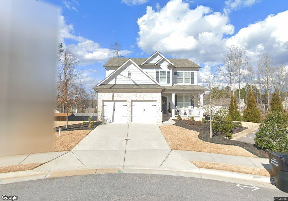
4232 Linworth Blvd Austell, GA 30106
Estimated Value: $397,000 - $500,000
4
Beds
3
Baths
2,084
Sq Ft
$223/Sq Ft
Est. Value
About This Home
This home is located at 4232 Linworth Blvd, Austell, GA 30106 and is currently estimated at $465,404, approximately $223 per square foot. 4232 Linworth Blvd is a home located in Cobb County with nearby schools including Deerwood Elementary School, Clarkdale Elementary School, and Garrett Middle School.
Ownership History
Date
Name
Owned For
Owner Type
Purchase Details
Closed on
Jun 16, 2022
Sold by
Cartagena Perez Pedro A
Bought by
Bain Travis and Summerford Megan
Current Estimated Value
Home Financials for this Owner
Home Financials are based on the most recent Mortgage that was taken out on this home.
Original Mortgage
$489,250
Outstanding Balance
$464,777
Interest Rate
5.25%
Mortgage Type
New Conventional
Estimated Equity
$627
Purchase Details
Closed on
Aug 23, 2019
Sold by
Beazer Gain Llc
Bought by
Perez Pedro A Cartagena
Home Financials for this Owner
Home Financials are based on the most recent Mortgage that was taken out on this home.
Original Mortgage
$281,587
Interest Rate
3.7%
Mortgage Type
New Conventional
Create a Home Valuation Report for This Property
The Home Valuation Report is an in-depth analysis detailing your home's value as well as a comparison with similar homes in the area
Home Values in the Area
Average Home Value in this Area
Purchase History
| Date | Buyer | Sale Price | Title Company |
|---|---|---|---|
| Bain Travis | $515,000 | None Listed On Document | |
| Perez Pedro A Cartagena | $291,225 | -- |
Source: Public Records
Mortgage History
| Date | Status | Borrower | Loan Amount |
|---|---|---|---|
| Open | Bain Travis | $489,250 | |
| Previous Owner | Perez Pedro A Cartagena | $281,587 |
Source: Public Records
Tax History Compared to Growth
Tax History
| Year | Tax Paid | Tax Assessment Tax Assessment Total Assessment is a certain percentage of the fair market value that is determined by local assessors to be the total taxable value of land and additions on the property. | Land | Improvement |
|---|---|---|---|---|
| 2025 | $4,164 | $159,432 | $36,000 | $123,432 |
| 2024 | $5,166 | $205,452 | $36,000 | $169,452 |
| 2023 | $4,623 | $205,452 | $36,000 | $169,452 |
| 2022 | $3,145 | $115,972 | $26,000 | $89,972 |
| 2021 | $3,145 | $115,972 | $26,000 | $89,972 |
| 2020 | $2,882 | $103,976 | $26,000 | $77,976 |
| 2019 | $607 | $20,000 | $20,000 | $0 |
| 2018 | $304 | $10,000 | $10,000 | $0 |
Source: Public Records
Map
Nearby Homes
- 4232 Linworth Blvd
- 4238 Linworth Blvd Unit 8
- 2013 Rhinehart Rd Unit 2
- 2017 Rhinehart Rd Unit 5
- 2017 Rhinehart Rd
- 2009 Rhinehart Rd
- 4244 Linworth Blvd Unit 7
- 4244 Linworth Blvd
- 2021 Rhinehart Rd
- 2005 Rhinehart Rd
- 4250 Linworth Blvd
- 4250 Linworth Blvd Unit 6
- 0 Rhinehart Rd Unit 8461640
- 0 Rhinehart Rd Unit 8535310
- 0 Rhinehart Rd Unit 3281276
- 0 Rhinehart Rd Unit 7061937
- 4259 Linworth Blvd
- 4253 Linworth Blvd
- 4241 Rhinehart Dr
- 4256 Linworth Blvd