4232 Soo Line Dr Waterloo, IA 50701
Estimated Value: $144,000 - $156,000
3
Beds
3
Baths
1,760
Sq Ft
$85/Sq Ft
Est. Value
About This Home
This home is located at 4232 Soo Line Dr, Waterloo, IA 50701 and is currently estimated at $148,980, approximately $84 per square foot. 4232 Soo Line Dr is a home located in Black Hawk County with nearby schools including Orange Elementary School, Hoover Middle School, and West High School.
Ownership History
Date
Name
Owned For
Owner Type
Purchase Details
Closed on
Jan 23, 2014
Sold by
Lauviere Rita J
Bought by
Samardzic Asmir and Samardzic Edita
Current Estimated Value
Home Financials for this Owner
Home Financials are based on the most recent Mortgage that was taken out on this home.
Original Mortgage
$77,400
Outstanding Balance
$56,376
Interest Rate
3.5%
Mortgage Type
Adjustable Rate Mortgage/ARM
Estimated Equity
$92,604
Create a Home Valuation Report for This Property
The Home Valuation Report is an in-depth analysis detailing your home's value as well as a comparison with similar homes in the area
Purchase History
| Date | Buyer | Sale Price | Title Company |
|---|---|---|---|
| Samardzic Asmir | $86,000 | Black Hawk Cnty Abstract & T |
Source: Public Records
Mortgage History
| Date | Status | Borrower | Loan Amount |
|---|---|---|---|
| Open | Samardzic Asmir | $77,400 |
Source: Public Records
Tax History
| Year | Tax Paid | Tax Assessment Tax Assessment Total Assessment is a certain percentage of the fair market value that is determined by local assessors to be the total taxable value of land and additions on the property. | Land | Improvement |
|---|---|---|---|---|
| 2025 | $2,860 | $135,330 | $0 | $135,330 |
| 2024 | $2,860 | $142,060 | $0 | $142,060 |
| 2023 | $2,008 | $142,060 | $0 | $142,060 |
| 2022 | $1,954 | $100,310 | $0 | $100,310 |
| 2021 | $1,876 | $100,310 | $0 | $100,310 |
| 2020 | $1,840 | $91,410 | $0 | $91,410 |
| 2019 | $1,840 | $91,410 | $0 | $91,410 |
| 2018 | $1,844 | $91,410 | $0 | $91,410 |
| 2017 | $1,904 | $91,410 | $0 | $91,410 |
| 2016 | $1,876 | $91,410 | $0 | $91,410 |
| 2015 | $1,876 | $91,410 | $0 | $91,410 |
| 2014 | $2,118 | $100,310 | $0 | $100,310 |
Source: Public Records
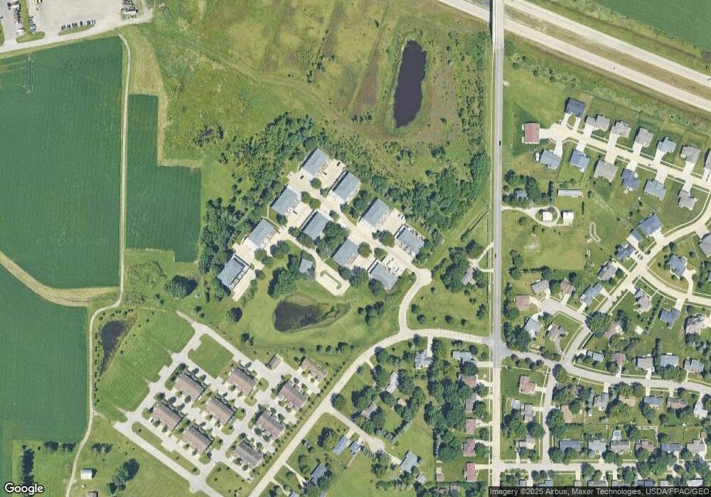
Map
Nearby Homes
- 2220 Sky Line Dr Unit 7
- 2327 Sky Line Dr
- 2330 Dusty Rd
- Lot 11 Red Tail Dr
- Lot 2 Red Tail Dr
- Lot 1 Red Tail Dr
- 1944 Kitty Hawk Dr
- Lot 15 Red Tail Dr
- Lot 16 Red Tail Dr
- 134 Sunbird Ct
- 125 Sunbird Ct
- 4755 Winghaven Dr
- 4760 Winghaven Dr
- 122 Kestrel Cir
- 128 Goldcrest Ct
- 1416 Partridge Ln
- 122 Goldcrest Ct
- 1440 Partridge Ln
- 1900 Westchester Rd Unit C
- Lot 10 Kimberly Ln
- 4236 Soo Line Dr
- 4234 Soo Line Dr
- 2203 Sky Line Dr Unit 4
- 2205 Sky Line Dr
- 2207 Sky Line Dr
- 4238 Soo Line Dr
- 2209 Sky Line Dr
- 2215 Sky Line Dr
- 4222 Soo Line Dr
- 2109 Skyline Dr
- 2204 Sky Line Dr
- 4220 Soo Line Dr
- 2111 Sky Line Dr
- 4216 Soo Line Dr
- 2107 Sky Line Dr
- 2113 Sky Line Dr
- 2206 Sky Line Dr
- 2109 Sky Line Dr
- 4218 Soo Line Dr
- 2217 Sky Line Dr Unit 7
Your Personal Tour Guide
Ask me questions while you tour the home.