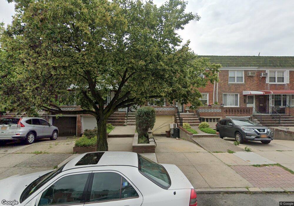
4238 195th St Flushing, NY 11358
Auburndale NeighborhoodEstimated Value: $905,713 - $936,000
Studio
--
Bath
1,336
Sq Ft
$690/Sq Ft
Est. Value
About This Home
This home is located at 4238 195th St, Flushing, NY 11358 and is currently estimated at $921,178, approximately $689 per square foot. 4238 195th St is a home located in Queens County with nearby schools including P.S. 31 - Bayside, I.S. 25 Adrien Block, and Francis Lewis High School.
Ownership History
Date
Name
Owned For
Owner Type
Purchase Details
Closed on
Nov 24, 2015
Sold by
Charalambous Demetria and Charalambous Savvas
Bought by
Andreas Charalambous Trustee and Charalambous Family Trust
Current Estimated Value
Purchase Details
Closed on
Feb 21, 1997
Sold by
Oboyle Edward
Bought by
Charalambous Savvas and Charalambous Demetra
Home Financials for this Owner
Home Financials are based on the most recent Mortgage that was taken out on this home.
Original Mortgage
$110,000
Interest Rate
7.5%
Create a Home Valuation Report for This Property
The Home Valuation Report is an in-depth analysis detailing your home's value as well as a comparison with similar homes in the area
Home Values in the Area
Average Home Value in this Area
Purchase History
| Date | Buyer | Sale Price | Title Company |
|---|---|---|---|
| Andreas Charalambous Trustee | -- | -- | |
| Charalambous Savvas | $172,000 | American Title Ins Co |
Source: Public Records
Mortgage History
| Date | Status | Borrower | Loan Amount |
|---|---|---|---|
| Previous Owner | Charalambous Savvas | $110,000 |
Source: Public Records
Tax History
| Year | Tax Paid | Tax Assessment Tax Assessment Total Assessment is a certain percentage of the fair market value that is determined by local assessors to be the total taxable value of land and additions on the property. | Land | Improvement |
|---|---|---|---|---|
| 2025 | $7,204 | $38,020 | $10,446 | $27,574 |
| 2024 | $7,204 | $35,868 | $11,123 | $24,745 |
| 2023 | $6,797 | $33,840 | $10,122 | $23,718 |
| 2022 | $6,755 | $47,700 | $14,160 | $33,540 |
| 2021 | $7,068 | $51,000 | $14,160 | $36,840 |
| 2020 | $6,706 | $47,580 | $14,160 | $33,420 |
| 2019 | $6,253 | $46,020 | $14,160 | $31,860 |
| 2018 | $5,749 | $28,200 | $10,350 | $17,850 |
| 2017 | $5,749 | $28,200 | $10,302 | $17,898 |
| 2016 | $5,595 | $28,200 | $10,302 | $17,898 |
| 2015 | $3,209 | $26,403 | $13,252 | $13,151 |
| 2014 | $3,209 | $24,909 | $13,512 | $11,397 |
Source: Public Records
Map
Nearby Homes
- 4048 194th St Unit A3
- 40-38 194th St Unit 1A
- 4038 194th St Unit 3B
- 4032 195th St
- 194-23 Station Rd
- 192-14 Station Rd
- 19112 Station Rd
- 190-17 42nd Ave
- 193-02 39th Ave Unit 1
- 43-44 195th St
- 195-33 39th Ave
- 195-31 39th Ave
- 191-02 39th Ave
- 191-9 39th Ave Unit 164
- 37-6 Francis Lewis Blvd
- 37-08 Francis Lewis Blvd
- 42-36 201st St
- 37-02 Francis Lewis Blvd
- 42-25 189th St
- 190-05 39th Ave Unit 142
Your Personal Tour Guide
Ask me questions while you tour the home.