4238 Kris Line Dr Waterloo, IA 50701
Estimated Value: $142,000 - $154,000
2
Beds
3
Baths
1,088
Sq Ft
$135/Sq Ft
Est. Value
About This Home
This home is located at 4238 Kris Line Dr, Waterloo, IA 50701 and is currently estimated at $147,126, approximately $135 per square foot. 4238 Kris Line Dr is a home located in Black Hawk County with nearby schools including Orange Elementary School, Hoover Middle School, and West High School.
Ownership History
Date
Name
Owned For
Owner Type
Purchase Details
Closed on
Jun 6, 2017
Sold by
Estate Of Margaret Jennings
Bought by
Jennings Michael
Current Estimated Value
Home Financials for this Owner
Home Financials are based on the most recent Mortgage that was taken out on this home.
Original Mortgage
$40,000
Outstanding Balance
$33,134
Interest Rate
3.87%
Mortgage Type
Adjustable Rate Mortgage/ARM
Estimated Equity
$113,992
Create a Home Valuation Report for This Property
The Home Valuation Report is an in-depth analysis detailing your home's value as well as a comparison with similar homes in the area
Home Values in the Area
Average Home Value in this Area
Purchase History
| Date | Buyer | Sale Price | Title Company |
|---|---|---|---|
| Jennings Michael | $50,000 | None Available |
Source: Public Records
Mortgage History
| Date | Status | Borrower | Loan Amount |
|---|---|---|---|
| Open | Jennings Michael | $40,000 |
Source: Public Records
Tax History Compared to Growth
Tax History
| Year | Tax Paid | Tax Assessment Tax Assessment Total Assessment is a certain percentage of the fair market value that is determined by local assessors to be the total taxable value of land and additions on the property. | Land | Improvement |
|---|---|---|---|---|
| 2024 | $2,628 | $131,390 | $0 | $131,390 |
| 2023 | $1,792 | $131,390 | $0 | $131,390 |
| 2022 | $1,742 | $90,480 | $0 | $90,480 |
| 2021 | $1,854 | $90,480 | $0 | $90,480 |
| 2020 | $1,820 | $90,480 | $0 | $90,480 |
| 2019 | $1,820 | $90,480 | $0 | $90,480 |
| 2018 | $1,636 | $82,140 | $0 | $82,140 |
| 2017 | $1,636 | $82,140 | $0 | $82,140 |
| 2016 | $1,864 | $82,140 | $0 | $82,140 |
| 2015 | $1,864 | $82,140 | $0 | $82,140 |
| 2014 | $1,900 | $82,140 | $0 | $82,140 |
Source: Public Records
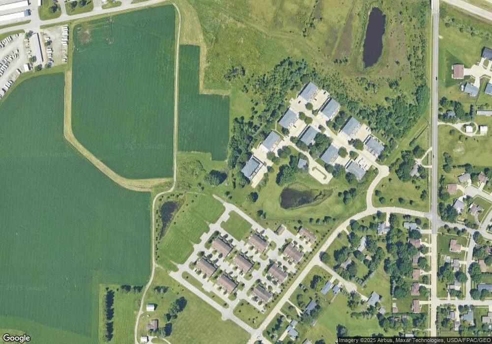
Map
Nearby Homes
- 2107 Cassi Ridge Unit RG
- 2121 Tyler Ridge Unit RG
- 2108 Josie Ridge Unit RG
- 2106 Josie Ridge Unit RG
- Lot 11 Red Tail Dr
- Lot 2 Red Tail Dr
- Lot 1 Red Tail Dr
- 4662 Hoff Rd
- 1944 Kitty Hawk Dr
- 4750 Winghaven Dr
- 1823 Partridge Ln
- Lot 16 Red Tail Dr
- Lot 15 Red Tail Dr
- 4824 William Dr
- 125 Sunbird Ct
- 135 Sunbird Ct
- 1747 Thrush Dr
- 1900 Westchester Rd Unit C
- 1464 Audubon Dr
- 128 Goldcrest Ct
- 4240 Kris Line Dr
- 4234 Kris Line Dr
- 2329 Dusty Rd
- 2327 Dusty Rd
- 2331 Dusty Rd
- 2325 Dusty Rd
- 2328 Dusty Rd
- 4232 Kris Line Dr
- 2326 Dusty Rd Unit 1
- 4230 Kris Line Dr
- 4228 Kris Line Dr
- 2330 Dusty Rd
- 4226 Kris Line Dr
- 2332 Dusty Rd
- 2331 Sky Line Dr
- 2331 Skyline Dr
- 4224 Kris Line Dr
- 4222 Kris Line Dr
- 4222 Kris Line Dr Unit 6
- 4223 Kris Line Dr