4238 State Highway Ww Aurora, MO 65605
Estimated Value: $289,180 - $335,000
3
Beds
2
Baths
1,800
Sq Ft
$175/Sq Ft
Est. Value
About This Home
This home is located at 4238 State Highway Ww, Aurora, MO 65605 and is currently estimated at $314,295, approximately $174 per square foot. 4238 State Highway Ww is a home located in Barry County with nearby schools including Pate Early Childhood Center, Robinson Elementary School, and Robinson Intermediate School.
Ownership History
Date
Name
Owned For
Owner Type
Purchase Details
Closed on
Jul 28, 2016
Sold by
Newman Thomas J and Newman Rene J
Bought by
Teague Angela
Current Estimated Value
Home Financials for this Owner
Home Financials are based on the most recent Mortgage that was taken out on this home.
Original Mortgage
$110,320
Outstanding Balance
$69,682
Interest Rate
3.54%
Mortgage Type
Future Advance Clause Open End Mortgage
Estimated Equity
$244,613
Purchase Details
Closed on
Jul 19, 2016
Sold by
Cook Christa and Cook Joel
Bought by
Teague Angela
Home Financials for this Owner
Home Financials are based on the most recent Mortgage that was taken out on this home.
Original Mortgage
$110,320
Outstanding Balance
$69,682
Interest Rate
3.54%
Mortgage Type
Future Advance Clause Open End Mortgage
Estimated Equity
$244,613
Create a Home Valuation Report for This Property
The Home Valuation Report is an in-depth analysis detailing your home's value as well as a comparison with similar homes in the area
Home Values in the Area
Average Home Value in this Area
Purchase History
| Date | Buyer | Sale Price | Title Company |
|---|---|---|---|
| Teague Angela | -- | Waco Title Company Mt Vernon | |
| Teague Angela | -- | Waco Title Company |
Source: Public Records
Mortgage History
| Date | Status | Borrower | Loan Amount |
|---|---|---|---|
| Open | Teague Angela | $110,320 | |
| Closed | Teague Angela | $110,320 |
Source: Public Records
Tax History Compared to Growth
Tax History
| Year | Tax Paid | Tax Assessment Tax Assessment Total Assessment is a certain percentage of the fair market value that is determined by local assessors to be the total taxable value of land and additions on the property. | Land | Improvement |
|---|---|---|---|---|
| 2025 | $1,185 | $26,866 | $2,223 | $24,643 |
| 2024 | $1,185 | $24,719 | $2,223 | $22,496 |
| 2023 | $1,181 | $24,719 | $2,223 | $22,496 |
| 2022 | $1,167 | $24,415 | $1,919 | $22,496 |
| 2021 | -- | $23,940 | $1,444 | $22,496 |
| 2020 | $0 | $23,940 | $1,444 | $22,496 |
| 2018 | -- | $20,919 | $1,444 | $19,475 |
| 2017 | -- | $20,539 | $1,444 | $19,095 |
Source: Public Records
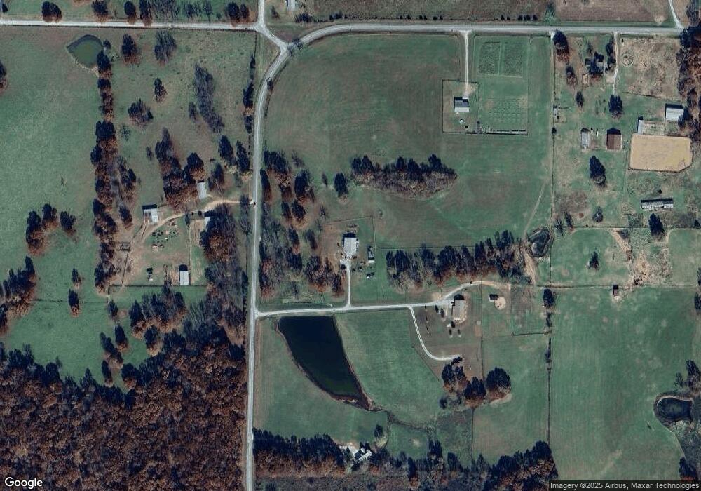
Map
Nearby Homes
- 4276 State Highway Ww
- 3644 State Highway Ww
- 17196 Farm Road 2030
- Tract 1 Farm Road 1200
- Tract 2 Farm Road 1200
- 17250 State Highway Z
- 000 Farm Road 1190
- 19038 Farm Road 2020
- Tbd Farm Rd 1190
- 1757 Farm Road 1200
- Tbd 000 Fr 1150
- 000 Farm Road 1182
- Tract 2 Farm Rd 1200
- 00 Farm Road 1200
- 00 Farm Road 1200
- 000 Farm Road 1200
- Tract 1 Farm Rd 2020 & 1200
- 7776 State Highway 39
- 000 Lawrence 2195
- 1967 Cattle Dr
- 4360 State Highway Ww Hwy
- 4276 State Highway Ww
- 4159 State Highway Ww
- 3978 Farm Road 1180
- 3740 State Highway Ww
- 4252 State Highway Ww
- 3864 State Highway Ww
- 4525 State Highway Ww
- 17750 Farm Road 2040
- 17477 Farm Road 2040
- 3445 State Highway Ww
- 17473 Farm Road 2040
- 17499 Farm Road 2040
- 17492 Farm Road 2040
- 3582 Farm Road 1180
- 3341 State Highway Ww
- 3296 State Highway Ww
- 5020 State Highway Ww
- 5053 State Highway Ww
- 000 Farm Road 1180