424 Stonewood Dr Eugene, OR 97405
Crest Drive NeighborhoodEstimated Value: $255,564 - $305,000
2
Beds
2
Baths
940
Sq Ft
$291/Sq Ft
Est. Value
About This Home
This home is located at 424 Stonewood Dr, Eugene, OR 97405 and is currently estimated at $273,141, approximately $290 per square foot. 424 Stonewood Dr is a home located in Lane County with nearby schools including Edgewood Community Elementary School, Spencer Butte Middle School, and South Eugene High School.
Ownership History
Date
Name
Owned For
Owner Type
Purchase Details
Closed on
Oct 5, 2020
Sold by
Andrejko Eleanor
Bought by
Andrejko Eleanor L and Eleanor Andrejko Revocable Tru
Current Estimated Value
Purchase Details
Closed on
Dec 8, 2014
Sold by
Fannie Mae
Bought by
Andrejko Eleanor
Purchase Details
Closed on
Sep 26, 2014
Sold by
Corotis Catherine and Corotis Maxwell
Bought by
Federal National Mortgage Association
Purchase Details
Closed on
May 2, 2014
Sold by
Onewest Bank Na
Bought by
Federal National Mortgage Association
Create a Home Valuation Report for This Property
The Home Valuation Report is an in-depth analysis detailing your home's value as well as a comparison with similar homes in the area
Home Values in the Area
Average Home Value in this Area
Purchase History
| Date | Buyer | Sale Price | Title Company |
|---|---|---|---|
| Andrejko Eleanor L | -- | None Available | |
| Andrejko Eleanor | $78,000 | Fidelity National Title Insu | |
| Federal National Mortgage Association | $98,000 | None Available | |
| Federal National Mortgage Association | -- | None Available |
Source: Public Records
Tax History
| Year | Tax Paid | Tax Assessment Tax Assessment Total Assessment is a certain percentage of the fair market value that is determined by local assessors to be the total taxable value of land and additions on the property. | Land | Improvement |
|---|---|---|---|---|
| 2025 | $2,880 | $147,828 | -- | -- |
| 2024 | $2,844 | $143,523 | -- | -- |
| 2023 | $2,844 | $139,343 | $0 | $0 |
| 2022 | $2,665 | $135,285 | $0 | $0 |
| 2021 | $2,503 | $131,345 | $0 | $0 |
| 2020 | $2,482 | $127,520 | $0 | $0 |
| 2019 | $2,343 | $123,806 | $0 | $0 |
| 2018 | $2,155 | $116,699 | $0 | $0 |
| 2017 | $1,969 | $116,699 | $0 | $0 |
| 2016 | $1,866 | $110,998 | $0 | $0 |
| 2015 | $1,760 | $104,717 | $0 | $0 |
| 2014 | $1,973 | $113,300 | $0 | $0 |
Source: Public Records
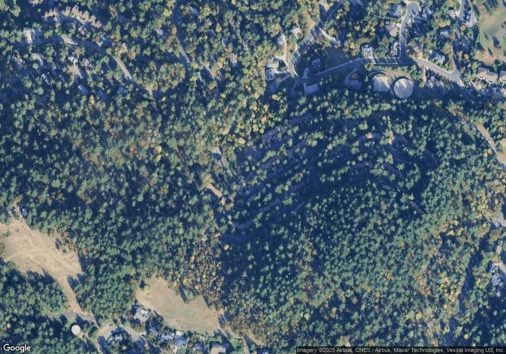
Map
Nearby Homes
- 422 Stonewood Dr Unit 422
- 418 Stonewood Dr Unit 418
- 223 Trailside Loop Unit 223
- 151 Treehill Loop Unit 151
- 152 Treehill Loop Unit 152
- 143 Treehill Loop Unit 143
- 126 Treehill Loop Unit 126
- 278 Rockridge Ct
- 653 Brookside Dr
- 36 Westbrook Way
- 784 Brookside Dr
- 21 Westbrook Way
- 17 Westbrook Way
- 0 Pine View Ct Unit 758820410
- 4734 Brookwood St
- 395 E 46th Ave
- 202 Foxtail Dr
- 296 Woodridge Dr
- 4040 Southpointe Dr
- 4845 Brookwood St
- 423 Stonewood Dr Unit 423
- 421 Stonewood Dr
- 410 Stonewood Dr Unit 410
- 420 Stonewood Dr Unit 420
- 4 Treehill Loop
- 13 Treehill Loop
- 411 Stonewood Dr Unit 411
- 419 Stonewood Dr Unit 419
- 412 Stonewood Dr Unit 412
- 417 Stonewood Dr Unit G27
- 413 Stonewood Dr Unit 413
- 414 Stonewood Dr Unit 414
- 416 Stonewood Dr Unit 416
- 415 Stonewood Dr
- 213 Trailside Loop
- 214 Trailside Loop
- 440 Stonewood Dr
- 309 Woodcutter Way Unit 309
- 216 Trailside Loop Unit 216
Your Personal Tour Guide
Ask me questions while you tour the home.